2020s Maps of Lander County, Nevada
Explore 134 historic maps of Lander County from the 2020s. These maps offer a rare glimpse into what life looked like during the 2020s — showing old roads, neighborhoods, homes, and landmarks that have changed or disappeared over time.
Whether you're researching your family's past, planning a metal detecting trip, or studying how Lander County's landscape evolved across the 2020s, these high-resolution maps are a powerful tool for exploring the history of this region.
- Focus on a specific era: All maps on this page are from the 2020s, giving you a focused view of this time period.
- See what’s changed: Compare century-old streets, trails, and buildings to today's modern landscape using overlays and satellite layers.
- Research with precision: Use these maps for genealogy, historical research, land use analysis, or educational projects.
- View, download, or print: Maps are fully viewable online in high resolution, and can be downloaded or printed for your own records.
Start exploring Lander County's history through authentic maps from the 2020s. This is your window into the past.
Lander County, NV maps
(134)- 2021 Map of Shoshone Meadows NE, 2021 Print
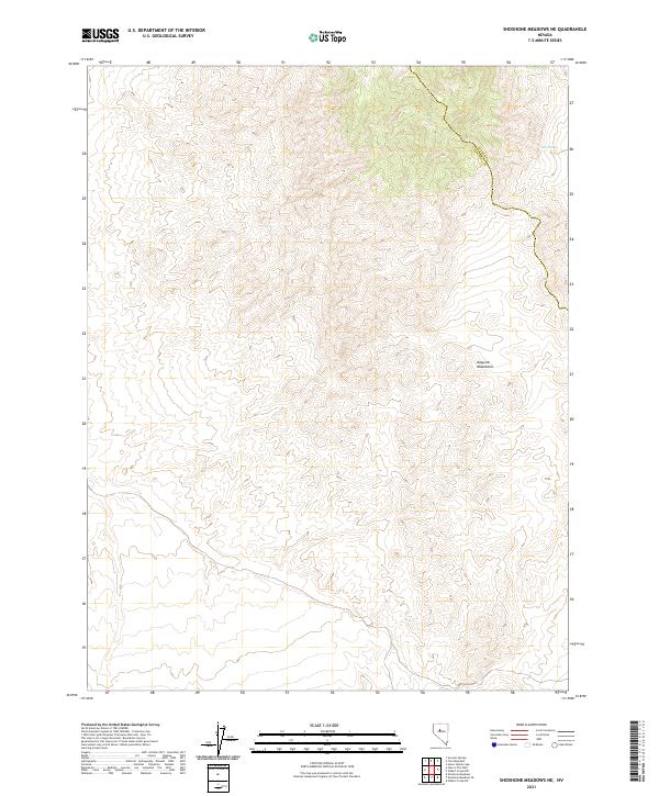 2021 Shoshone Meadows NE2021 Print · USGSThe high-desert terrain of the Augusta Mountains is meticulously detailed in this recent survey of the Churchill and Lander County line. Historians and researchers can trace the remote path of the county boundary near the vital Cain Spring.
 - 2021 Map of Jackrabbit Spring, 2021 Print
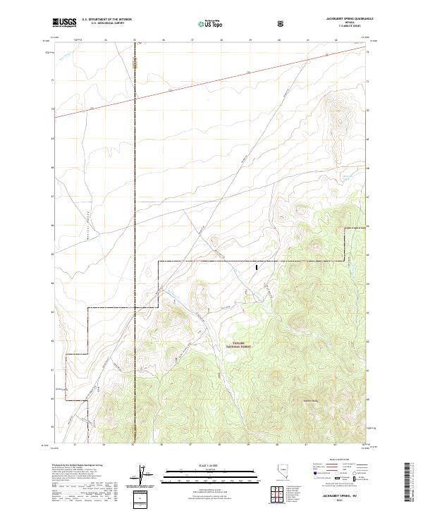 2021 Jackrabbit Spring2021 Print · USGSMonitor Valley and the Monitor Range appear as they were in the early 2020s, showing a remote landscape shaped by ranching and forest boundaries. Researchers can trace the Lander and Eureka county line and locate water sources like Jackrabbit Spring and Reynolds Cr.
 - 2021 Map of Mount Airy NE, 2021 Print
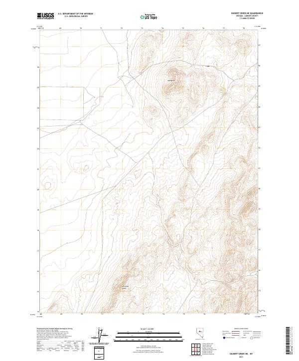
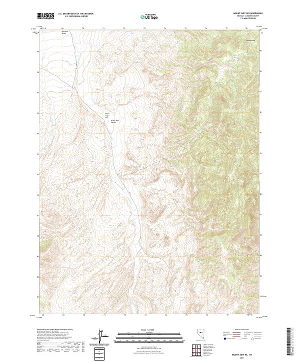 2021 Mount Airy NE2021 Print · USGSAntelope Valley and the high desert basins of central Nevada are captured here as they appeared in 2021. Researchers can trace seasonal water courses like Gilbert Cr and locate high-elevation landmarks such as Ravenswood and Cadra Spring.
 - 2021 Map of Little Hot Springs, 2021 Print
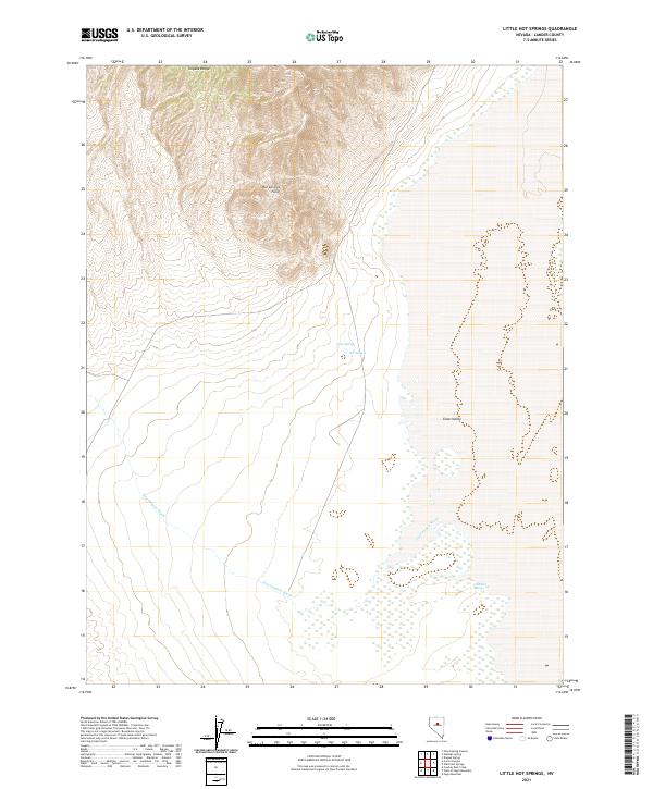 2021 Little Hot Springs2021 Print · USGSGrass Valley and the southern reaches of the Toiyabe Range are mapped here in the early twenty-first century. Researchers can trace the seasonal flow of Dry Canyon Wash and locate vital water sources like Crow Spring and Little Hot Springs.
 - 2021 Map of Carroll Summit NE, 2021 Print
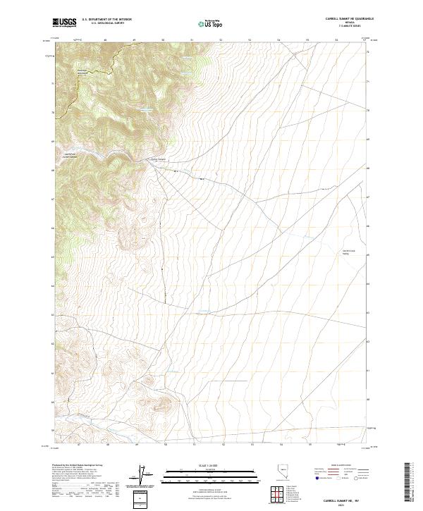 2021 Carroll Summit NE2021 Print · USGSLander and Churchill counties meet in this high-desert stretch of the Great Basin during the early twenty-first century. Genealogists and historians can trace the path of the Old Overland Rd and locate essential water stops like Corral Spring and Twin Springs.
 - 2021 Map of Carroll Summit SE, 2021 Print
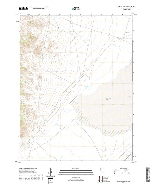 2021 Carroll Summit SE2021 Print · USGSLander County during the early twenty-first century reveals a landscape shaped by hydrology and historic transit. Researchers can trace the path of the Old Overland Rd and locate geothermal features like Smith Creek Valley Hot Springs.
 - 2021 Map of Bean Flat West, 2021 Print
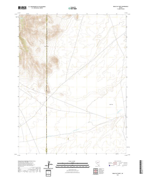 2021 Bean Flat West2021 Print · USGSCentral Nevada's high desert reveals its character in this recent survey of the Lander and Eureka county line. Researchers can trace the sparse water sources and topographic landmarks essential to local navigation, including Dickenson Spring, The Point, and the expansive Bean Flat.
 - 2021 Map of Shagnasty, 2021 Print
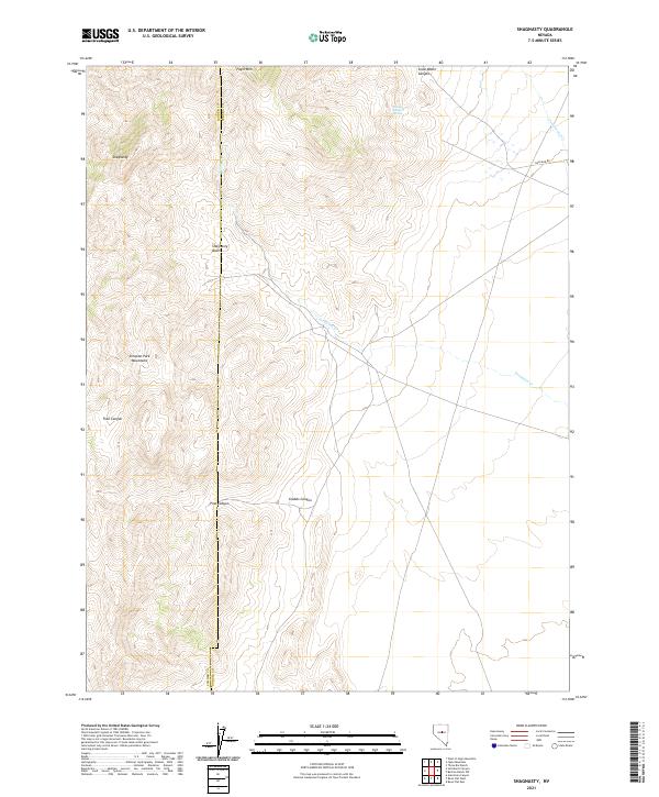 2021 Shagnasty2021 Print · USGSCentral Nevada's high-desert terrain is captured here in the early twenty-first century, spanning the border of Lander and Eureka counties. Geologists and explorers can trace the ridges of the Simpson Park Mountains and the remote tracks of Gold Bar Road.
 - 2021 Map of Gilbert Creek SE, 2021 Print
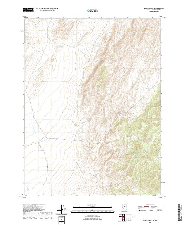 2021 Gilbert Creek SE2021 Print · USGSLander County's high-desert terrain is captured in this modern survey of the central Nevada ranges. Genealogists and researchers can trace the vicinity of Ravenswood and locate vital water sources like Rocky Gap Spring and Caton Spring among the steep ridges.
 - 2021 Map of Ackerman Canyon, 2021 Print
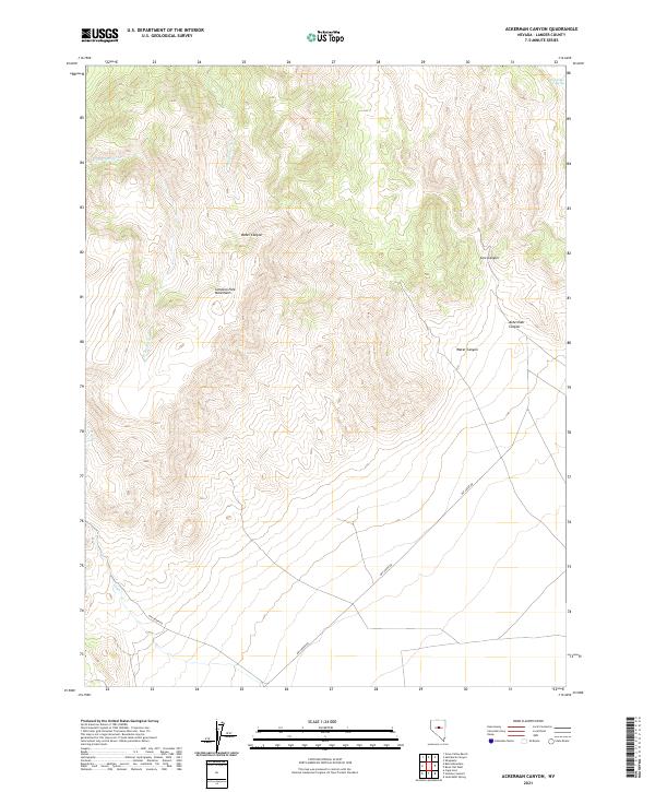 2021 Ackerman Canyon2021 Print · USGSThe Simpson Park Mountains of central Nevada are documented here in the early twenty-first century. Researchers can trace the rugged drainages of Ackerman Canyon and Cow Canyon or locate water sources like Dickenson Spring.
 - 2021 Map of New Pass Peak, 2021 Print
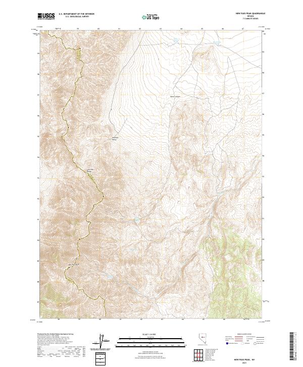 2021 New Pass Peak2021 Print · USGSLander and Churchill Counties are captured in this modern survey of the high Nevada desert. Researchers can trace the vital water sources that shaped the region, including Water Canyon Spring, Deer Spring, and Little Antelope Spring.
 - 2021 Map of Wallace Canyon, 2021 Print
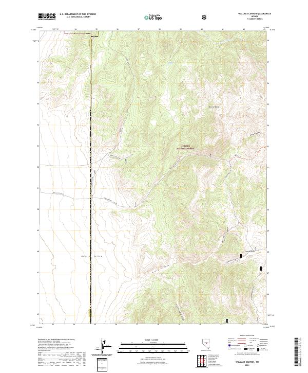 2021 Wallace Canyon2021 Print · USGSThe high basins and peaks of the Monitor Range come into focus in the early 2020s, highlighting the boundary between Lander and Eureka Counties. You can trace high-altitude water sources like Laxaque Spring and access roads through Wallace Canyon and Charnac Basin.
 - 2021 Map of Walti Hot Springs, 2021 Print
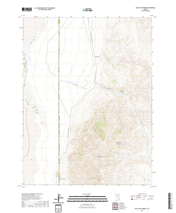 2021 Walti Hot Springs2021 Print · USGSEureka and Lander counties are captured here in a period of modern ranching and high-desert isolation. Genealogists and local historians can trace the remote geography of Walti Hot Springs, McClusky Peak, and the Simpson Park Mountains.
 - 2021 Map of Gilbert Creek NE, 2021 Print
 2021 Gilbert Creek NE2021 Print · USGSHigh-desert terrain in Lander County is surveyed here during the early twenty-first century, showing a landscape defined by isolated peaks and land survey grids. Researchers can locate prominent landmarks such as Red Butte and Antelope Butte within the boundaries of T24N R42E.
 - 2021 Map of Corral Canyon, 2021 Print
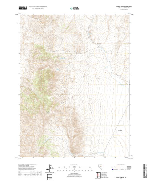 2021 Corral Canyon2021 Print · USGSLander County's high desert terrain is captured here in the early twenty-first century, showing the critical water sources of the Shoshone Range. Researchers can locate remote landmarks such as Dead Ox Canyon, Corral Spring, and Dry Canyon Spring.
 - 2021 Map of Salt Marsh Canyon, 2021 Print
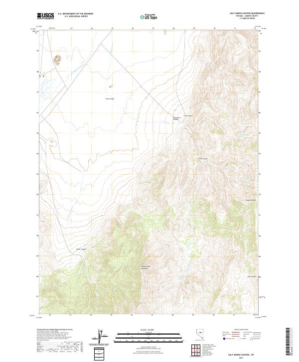 2021 Salt Marsh Canyon2021 Print · USGSLander County in the early twenty-first century remains a landscape of high basins and mountain springs. Researchers can trace the drainages of Callaghan Cr and Indian Cr as they emerge from the Simpson Park Mountains near Liberty Springs.
 - 2021 Map of White Sage Canyon, 2021 Print
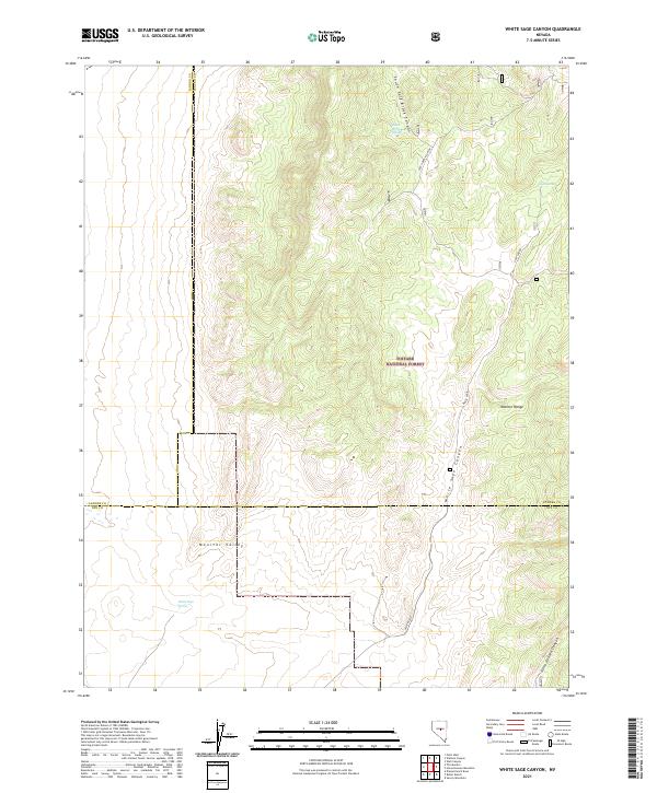 2021 White Sage Canyon2021 Print · USGSCentral Nevada's high desert landscape is surveyed here during the 2020s, showing the intersection of Lander, Eureka, and Nye Counties. Researchers can trace water sources like Goat Spring and the rugged drainages of White Sage Canyon.
 - 2021 Map of Petes Summit, 2021 Print
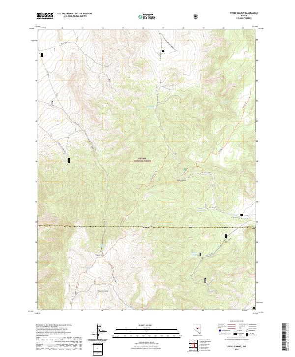 2021 Petes Summit2021 Print · USGSLander and Nye counties come together in the high ridges of the Toquima Range during the early twenty-first century. Researchers can trace historic access routes and resource locations like the Bronco Mine, Petes Summit, and Toquima Cave Trl.
 - 2021 Map of Hall Creek North, 2021 Print
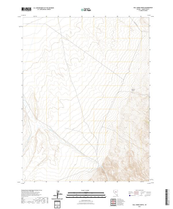 2021 Hall Creek North2021 Print · USGSLander County's high desert landscape is documented here in the early twenty-first century, showing a remote region defined by its drainages and canyons. Researchers can trace the path of Carico Lake Rd as it skirts Dead Ox Canyon and the seasonal flows of Hall Cr.
 - 2021 Map of Basque Summit, 2021 Print
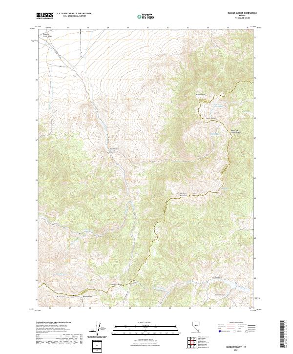 2021 Basque Summit2021 Print · USGSThe high-desert divide of the Desatoya Mountains is captured here as it appeared in the early 2020s. Genealogists and historians can trace the historic Old Overland Rd through Basque Summit and locate remote water sources like Topia Spring.
 - 2021 Map of Vigus Butte NW, 2021 Print
 2021 Vigus Butte NW2021 Print · USGSLander County's high-desert landscape is captured in the early twenty-first century as the Reese River valley maintains its traditional ranching and transit character. Researchers can trace the seasonal water network from Garden Spring to the banks of the Reese River and the rural road to Ravenswood.
 - 2021 Map of Potts Well, 2021 Print
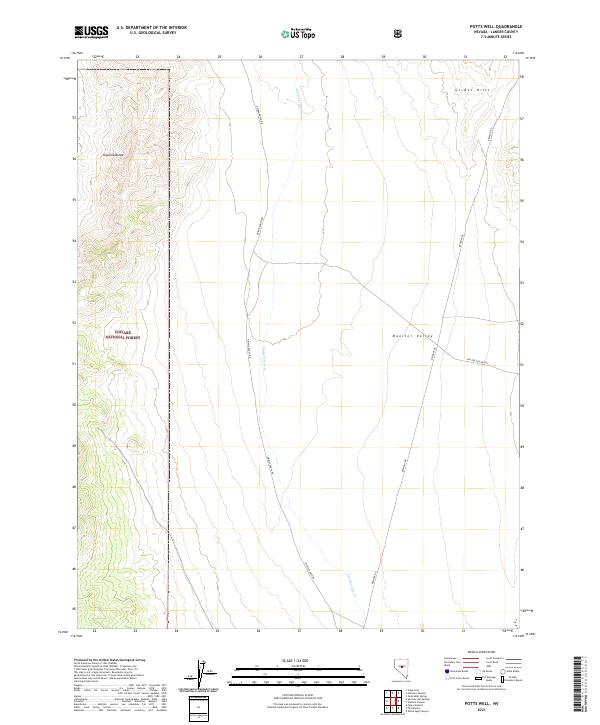 2021 Potts Well2021 Print · USGSMonitor Valley and the Toquima Range are captured here in the early twenty-first century, showcasing a vast landscape of public lands and mountain terrain. Researchers can trace remote access routes like Grimes Ranch Rd and Belmont Rd as they navigate the Toiyabe National Forest and the Grimes Hills.
 - 2021 Map of Wildcat Peak NW, 2021 Print
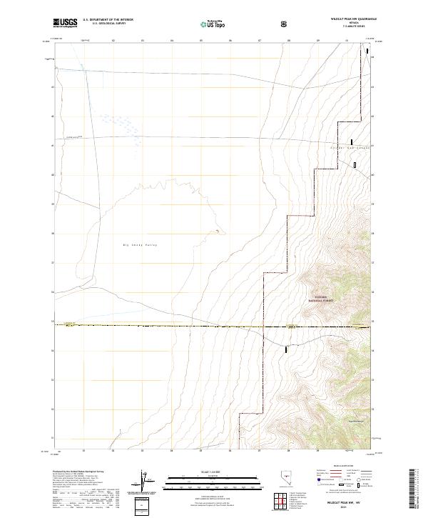 2021 Wildcat Peak NW2021 Print · USGSBig Smoky Valley and the surrounding high desert are documented here during the early twenty-first century. Researchers can trace the rugged transition from the Big Smoky Valley floor into the Toquima Range and across the Lander and Nye County line.
 - 2021 Map of Bates Mountain, 2021 Print
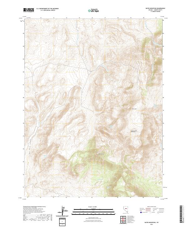 2021 Bates Mountain2021 Print · USGSThe Simpson Park Mountains and high-desert springs define this central Nevada landscape in the modern era. Genealogists and historians can trace the network of vital water sources and landmarks like Indian Ranch Spring, Eagle Butte, and Bates Mtn.
 - 2021 Map of Vigus Butte NE, 2021 Print
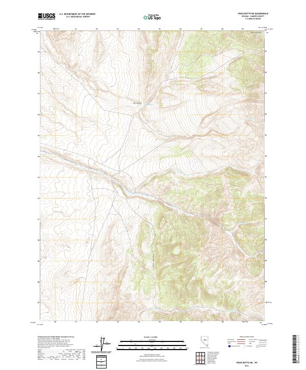 2021 Vigus Butte NE2021 Print · USGSLander County's high-desert terrain is captured in this recent survey, showcasing a landscape defined by vital water sources and deep canyons. Researchers can trace the drainages of Silver Creek and locate family-named landmarks like Alex Canyon and China Spring.
Showing maps 1-25 of 134
Top cities of Lander County
Frequently asked questions
- What are the different types of historical maps available for Lander County?
- What is the oldest map of Lander County?
- Where can I purchase historical maps of Lander County for my home or office?
- Where can I download high-res historical maps of Lander County?
- Are there historical topographic maps available for Lander County?
- Is there historical aerial imagery available for Lander County?
- Where are historical maps of Lander County sourced from?