Old Maps of Kingston, Nevada for Genealogy
Trace your family roots with 9 historic maps of Kingston. These high-res maps reveal old neighborhoods, homesites, landmarks, and streets — helping you uncover where your ancestors lived and how the area evolved over time.
- Explore historic neighborhoods: Identify where your relatives may have lived in the 1800s or 1900s.
- Compare maps over time: Trace the changes in streets, buildings, and landmarks for multi-generational research.
- Perfect for genealogy & ancestry research: Used by family historians and researchers to map out lineage and migration.
These maps are an incredible resource for exploring your personal connection to Kingston's past.
Kingston, NV maps
(9)- 1955 Map of Millett, 1963 Print
 1955 Millett1963 Print · USGSCentral Nevada in the mid-fifties is a landscape of high-desert basins and remote outposts. Researchers can trace historic ranching sites like Petersons Mill and Grass Valley Ranch or locate the McCoy Mining Camp.4 unique versions available
 - 1956 Map of Millett Ranch, 1957 Print
 1956 Millett Ranch1957 Print · USGSSmoky Valley and the Toiyabe Range are shown here in the mid-fifties, capturing a landscape of high-altitude peaks and valley ranches. Genealogists and historians can trace family sites at Schmidtlein Ranch and McLeod Ranch or locate the Smoky Valley Sch.2 unique versions available
 - 1959 Map of Millett
 1959 Millett1959 Print · USGSThe high basins and ranges of central Nevada are captured here in the late fifties, showcasing a landscape of remote cattle ranches and high-altitude mining. Researchers can trace historic family holdings like McLeod Ranch or locate the McCoy Mining Camp and the Austin Summit mountain pass.2 unique versions available
 - 1985 Map of Smith Creek Valley
 1985 Smith Creek Valley1985 Print · USGSCentral Nevada in the mid-eighties shows a high-desert landscape of isolated mining sites and remote rangeland. Researchers can trace old operations like the Double Eagle Mine and Hasbrouck Mine or locate the Yomba Indian Reservation and Peterson Station.2 unique versions available
 - 1988 Map of Kingston
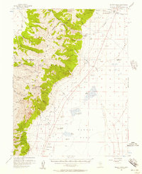
 1988 Kingston1988 Print · USGSThe foothills of the Toiyabe Range meet the high desert in the late 1980s, capturing the community of Kingston at the mouth of its canyon. Trace the mountain-to-valley landscape from Broad Canyon down to the Tailings Ponds and the Big Smoky Valley Depression.
 - 2012 Map of Kingston, 2012 Print
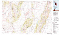
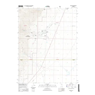
 2012 Kingston2012 Print · USGSCovers Kingston, including Nye County, Lander County, and other nearby areas
 - 2014 Map of Kingston, 2014 Print
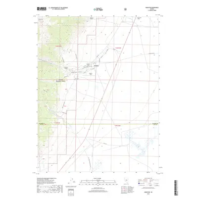
 2014 Kingston2014 Print · USGSCovers Kingston, including Nye County, Lander County, and other nearby areas
 - 2018 Map of Kingston, 2018 Print
 2018 Kingston2018 Print · USGSCovers Kingston, including Nye County, Lander County, and other nearby areas
 - 2021 Map of Kingston, 2021 Print
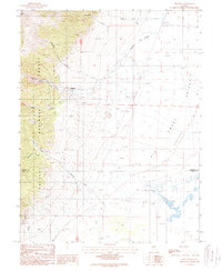
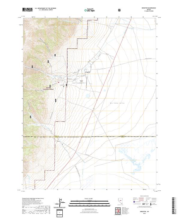 2021 Kingston2021 Print · USGSSettled along the edge of the Toiyabe National Forest in the 2020s, this area shows the gateway to the high desert canyons. Researchers can trace local landmarks like Kingston Cem and the residential roads of Kingston near Kingston Airport.
End of results
Showing maps 1-9 of 9
Frequently asked questions
- What are the different types of historical maps available for Kingston?
- What is the oldest map of Kingston?
- Where can I purchase historical maps of Kingston for my home or office?
- Where can I download high-res historical maps of Kingston?
- Are there historical topographic maps available for Kingston?
- Is there historical aerial imagery available for Kingston?
- Where are historical maps of Kingston sourced from?