Old Maps of Amargosa Valley, Nevada for Metal Detecting
Plan your next treasure hunt with 18 historic maps of Amargosa Valley. Find old homesites, ghost towns, trails, and gathering spots that may be lost to time — perfect for identifying promising metal detecting locations.
- Locate forgotten sites: Uncover places like long-lost settlements, abandoned rail lines, or gathering spots.
- Plan better hunts: Use map overlays combined with LiDAR or satellite views to narrow in on historically rich areas.
- Made for detectorists: Thousands of hobbyists use these maps to discover relics, coins, and hidden history.
Use these historic maps to boost your research and find new opportunities beneath the surface of Amargosa Valley.
Amargosa Valley, NV maps
(18)- 1908 Map of Furnace Creek
 1908 Furnace Creek1908 Print · USGSThe California-Nevada borderlands hummed with mining activity in the early twentieth century as new rail lines reached into the desert. Genealogists and historians can trace pioneer outposts like Rhyolite, industrial sites like the Keane Wonder Mine, and the springs of Ash Meadows.
 - 1910 Map of Furnace Creek
 1910 Furnace Creek1910 Print · USGSThe Nevada and California borderlands thrive during a historic mining boom in this early twentieth-century survey. Researchers can trace the rise of desert settlements like Rhyolite and Gold Center or locate industrial sites such as the Keane Wonder Mine and Borax Mill.5 unique versions available
 - 1942 Map of Skull Mountain
 1942 Skull Mountain1942 Print · USGSNye County's high desert was undergoing a massive transformation during the early 1940s as military testing ranges expanded across the terrain. Researchers can trace historic desert routes and landmarks like Cane Spring, the Horn Silver Mine, and the remote Fairbanks settlement.
 - 1948 Map of Death Valley
 1948 Death Valley1948 Print · USGSIn the late 1940s, this desert frontier was defined by isolated mining camps and military restricted zones. Researchers can trace the routes between Furnace Creek Ranch and Rhyolite, or locate remote sites like the Modoc Mine and Ballarat.2 unique versions available
 - 1954 Map of Death Valley, 1966 Print
 1954 Death Valley1966 Print · USGSInyo County and the Nevada borderlands are shown during the mid-twentieth century as mining history met the atomic age. Researchers can trace the legacy of desert boomtowns and remote camps like Rhyolite, Darwin Mines, and the isolated Clay Camp.3 unique versions available
 - 1956 Map of Death Valley
 1956 Death Valley1956 Print · USGSInyo County and the Nevada borderlands appear in the mid-fifties as a rugged landscape of mining camps and military reservations. Genealogists and historians can trace the foundations of Furnace Creek Ranch, the desert roads to Ballarat, and active mining sites like the Lila C Mine.
 - 1957 Map of Death Valley
 1957 Death Valley1957 Print · USGSThe High Desert in the mid-fifties reveals a landscape of extreme elevations and deep-seated mining history, from the Panamint Range to the Amargosa River. Trace the remnants of the Tonopah & Tidewater RR and remote sites like Ballarat or the Skidoo Mine.
 - 1958 Map of Death Valley
 1958 Death Valley1958 Print · USGSThe High Desert and Death Valley during the mid-fifties reveal a stark landscape of mining camps and new military ranges. Historians can trace the lineage of remote outposts like Ballarat, the Skidoo Mine, and the historic Cerro Gordo Mine.
 - 1961 Map of Death Valley
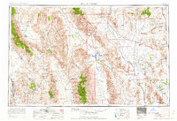 1961 Death Valley1961 Print · USGSDeath Valley and the Nevada borderlands are shown in the early sixties as a landscape of military testing and historic mining. Genealogists and researchers can locate remote settlements like Rhyolite, active operations at Darwin Mines, and cold-war sites such as the Nevada Proving Grounds.
 - 1961 Map of Lathrop Wells, 1962 Print
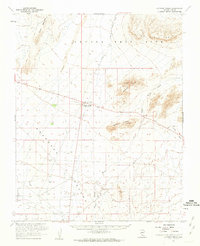 1961 Lathrop Wells1962 Print · USGSIn the early sixties, the Nevada desert was becoming a hub for atomic research and defense projects. Researchers can trace the early layout of the Nevada Test Site and find markers of desert transit like Lathrop Wells and the Old Railroad Grade.2 unique versions available
 - 1964 Map of Death Valley
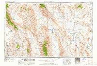 1964 Death Valley1964 Print · USGSThe California-Nevada borderlands are shown here in the mid-1960s, a landscape defined by extreme geography and strategic military testing. Researchers can locate remote mining sites like Skidoo Mines or trace the early tourist footprint at Stovepipe Wells Hotel.
 - 1965 Map of Death Valley
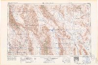 1965 Death Valley1965 Print · USGSThe California-Nevada borderlands are captured here in the mid-1960s, showing the high-desert transition from mining camps to military proving grounds. Researchers can locate remote settlements like Skidoo and Ballarat or trace the old Tonopah and Tidewater Railroad.
 - 1984 Map of South of Amargosa Valley
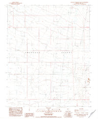 1984 South of Amargosa Valley1984 Print · USGSSouthern Nye County in the 1980s shows a desert landscape shaped by resource extraction and utility corridors. Researchers can trace numerous Prospect sites, the local Cem, and infrastructure like the Landing Strip and Sub Station.
 - 1986 Map of Beatty
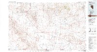 1986 Beatty1986 Print · USGSSouthern Nevada at the peak of the Cold War reveals a landscape split between mining history and federal testing. Researchers can trace the Nevada Northern Railroad and find historic sites like Rhyolite, the Silicon Mine, and Chloride City.2 unique versions available
 - 2012 Map of South of Amargosa Valley, 2012 Print
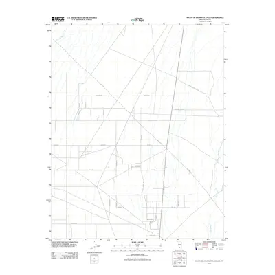 2012 South of Amargosa Valley2012 Print · USGSAmargosa Valley in the early twenty-first century reveals a distinct desert grid etched across the dry beds of Fortymile Wash. Researchers can trace the unique street names of the Cold War era, including Atomic Rd, or locate local hubs near Amargosa Farms Rd.
 - 2015 Map of South of Amargosa Valley, 2015 Print
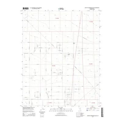 2015 South of Amargosa Valley2015 Print · USGSThe Amargosa and Mojave deserts meet in this modern survey of southern Nevada. Researchers can trace the development of rural agricultural life and recreation along Race Track Rd, W Amargosa Farm Rd, and Rock Valley Wash.
 - 2018 Map of South of Amargosa Valley, 2018 Print
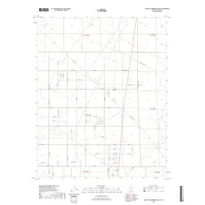 2018 South of Amargosa Valley2018 Print · USGSNye County's desert landscape is captured here in the late twenty-teens as residential grids and ranch roads expand across the basin. Researchers can trace the layout of local tracts along Anvil Ranch Rd, Amargosa Farm Rd, and Fortymile Wash.
 - 2021 Map of South of Amargosa Valley, 2021 Print
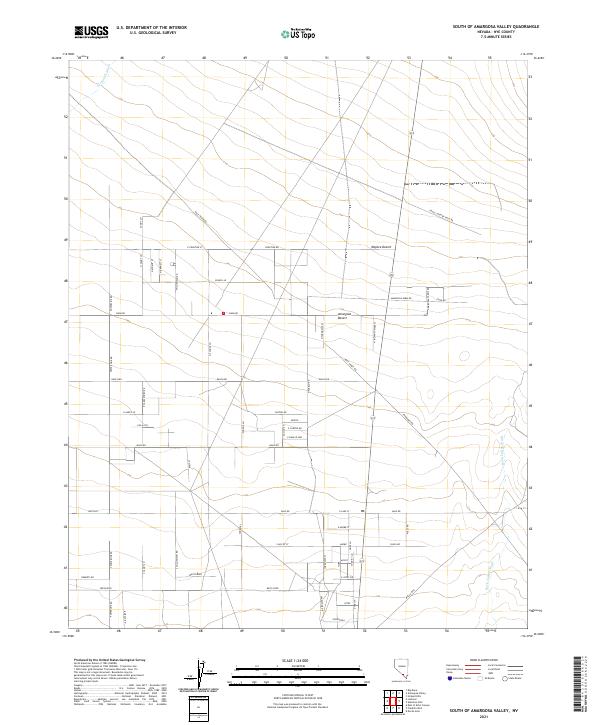 2021 South of Amargosa Valley2021 Print · USGSNye County in the modern era shows a distinctive grid of desert roads and agricultural reaches south of the Amargosa Valley. Researchers can trace land development along School Ln or follow the paths of Fortymile Wash and Rock Valley Wash through the desert basin.
End of results
Showing maps 1-18 of 18
Frequently asked questions
- What are the different types of historical maps available for Amargosa Valley?
- What is the oldest map of Amargosa Valley?
- Where can I purchase historical maps of Amargosa Valley for my home or office?
- Where can I download high-res historical maps of Amargosa Valley?
- Are there historical topographic maps available for Amargosa Valley?
- Is there historical aerial imagery available for Amargosa Valley?
- Where are historical maps of Amargosa Valley sourced from?