Old Maps of Incline Village, Nevada for Genealogy
Trace your family roots with 14 historic maps of Incline Village. These high-res maps reveal old neighborhoods, homesites, landmarks, and streets — helping you uncover where your ancestors lived and how the area evolved over time.
- Explore historic neighborhoods: Identify where your relatives may have lived in the 1800s or 1900s.
- Compare maps over time: Trace the changes in streets, buildings, and landmarks for multi-generational research.
- Perfect for genealogy & ancestry research: Used by family historians and researchers to map out lineage and migration.
These maps are an incredible resource for exploring your personal connection to Incline Village's past.
Incline Village, NV maps
(14)- 1891 Map of Carson
 1891 Carson1891 Print · USGSSilver mining and rail expansion dominate this late-century look at the Comstock Lode region, from the heights of Virginia to the capital at Carson. Researchers can trace the winding Virginia and Truckee Railroad and locate early sites like Gold Hill, Sutro, and the State Prison.
 - 1893 Map of Carson
 1893 Carson1893 Print · USGSThe Comstock Lode era is in full view here during the 1890s, centering on the silver mining centers and early rail networks of the Nevada territory. Trace the path of the Virginia and Truckee R.R. and locate historic sites like Sutro, Gold Hill, and the State Prison near Carson.9 unique versions available
 - 1950 Map of Mt. Rose, 1956 Print
 1950 Mt. Rose1956 Print · USGSMid-century Nevada comes into focus as the Reno area expands south toward the Washoe Valley and the high peaks of the Toiyabe National Forest. Genealogists and historians can trace old homesteads near Franktown, the Ophir Mill Site, and the grounds of the Bowers Mansion.3 unique versions available
 - 1952 Map of Mt. Rose
 1952 Mt. Rose1952 Print · USGSWashoe County at the start of the 1950s reveals a transition from alpine wilderness to valley ranching and early suburban growth. You can trace historical landmarks like the Ophir Mill Site, Bowers Mansion, and the winding path of the Truckee Ditch.
 - 1957 Map of Reno, 1963 Print
 1957 Reno1963 Print · USGSWestern Nevada in the early sixties is a land of sprawling desert sinks and rising mountain ranges. Genealogists and historians can trace the rail-and-river network connecting Reno, the mining legacy of Rawhide Mine, and the boundaries of the Pyramid Lake Indian Reservation.5 unique versions available
 - 1959 Map of Reno
 1959 Reno1959 Print · USGSWestern Nevada in the late fifties was a land of expanding military airbases and high-desert irrigation projects. You can trace the lineage of the Comstock era through Carson City, locate the Pony Express Monument, or study the rail networks of the Southern Pacific RR.
 - 1960 Map of Reno
 1960 Reno1960 Print · USGSThe high desert of western Nevada comes alive in this mid-century survey of the Reno-Tahoe region. Genealogists and historians can trace rail lines like the Southern Pacific RR and locate remote outposts such as Olinghouse, Nixon, and the Olinghouse Mine.2 unique versions available
 - 1968 Map of Mt. Rose, 1971 Print
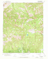 1968 Mt. Rose1971 Print · USGSIncline Village and the surrounding Sierra Nevada peaks are shown in detail during the late sixties as the area transitioned into a year-round recreation hub. Map collectors and hikers can trace the original paths of the Tramway, early ski infrastructure on Slide Mountain, and local landmarks like Incline High Sch.2 unique versions available
 - 1979 Map of Carson City, 1980 Print
 1979 Carson City1980 Print · USGSWestern Nevada in the late seventies reveals a landscape of historic mining districts and expanding mountain communities. Researchers can trace the Comstock Lode through Virginia City, locate the Stewart Indian School, or explore the shores of Lake Tahoe near Incline Village.2 unique versions available
 - 1992 Map of Mount Rose, 1994 Print
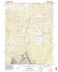 1992 Mount Rose1994 Print · USGSIncline Village and the surrounding Carson Range are captured here in the early nineties as the area's recreational identity matured. Researchers can trace the development of Incline Village, find local landmarks like Sierra Nevada College, and locate alpine features such as Diamond Peak Ski Resort and Slide Mountain.
 - 2012 Map of Mount Rose, 2012 Print
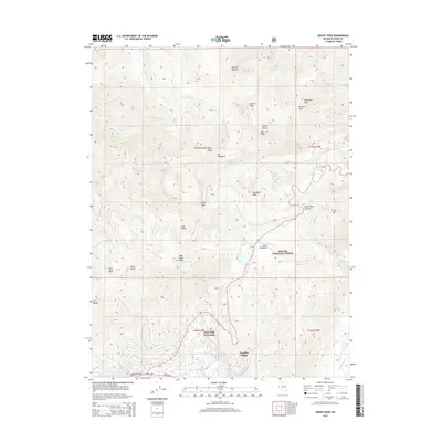
 2012 Mount Rose2012 Print · USGSCovers Incline Village, including Washoe County, United States, and other nearby areas
 - 2014 Map of Mount Rose, 2014 Print
 2014 Mount Rose2014 Print · USGSCovers Incline Village, including Washoe County, United States, and other nearby areas
 - 2018 Map of Mount Rose, 2018 Print
 2018 Mount Rose2018 Print · USGSCovers Incline Village, including Washoe County, United States, and other nearby areas
 - 2021 Map of Mount Rose, 2021 Print
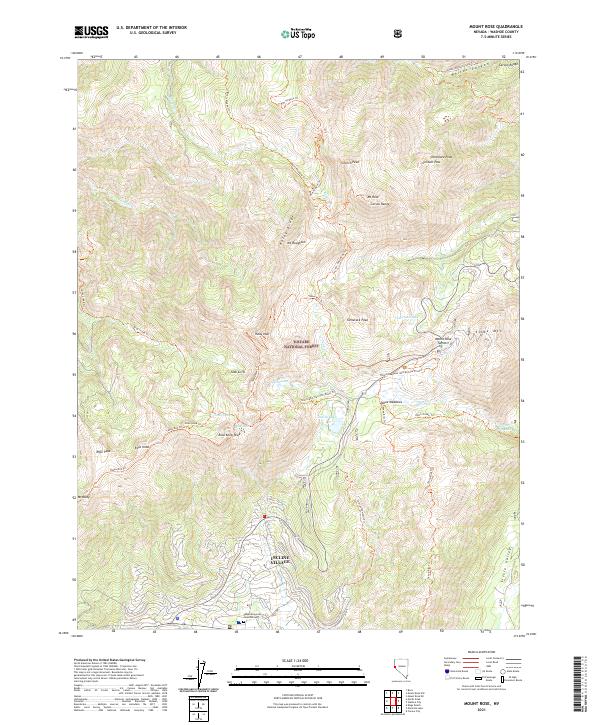 2021 Mount Rose2021 Print · USGSThe high Carson Range and the northern reaches of Incline Village are detailed here in the early twenty-first century. Researchers can trace the complex mountain hydrology and recreational trail systems surrounding Mt. Rose, Slide Mtn, and Incline Lake.
End of results
Showing maps 1-14 of 14
Top cities near Incline Village
- Reno historical maps
- Carson City historical maps
- Truckee historical maps
- Johnson Lane historical maps
- Indian Hills historical maps
- Kings Beach historical maps
See more
Frequently asked questions
- What are the different types of historical maps available for Incline Village?
- What is the oldest map of Incline Village?
- Where can I purchase historical maps of Incline Village for my home or office?
- Where can I download high-res historical maps of Incline Village?
- Are there historical topographic maps available for Incline Village?
- Is there historical aerial imagery available for Incline Village?
- Where are historical maps of Incline Village sourced from?