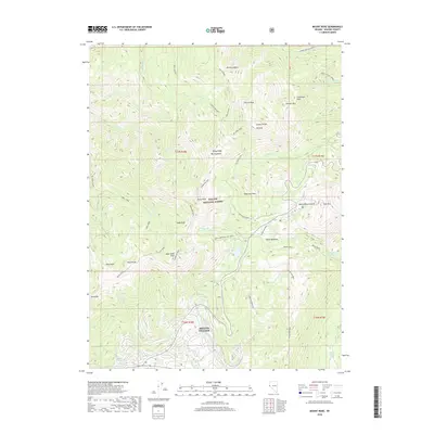
2018 Map of Mount Rose
USGS Topo · Published 2018About this map
Incline Village sits at the southern edge of this high-altitude landscape, where the residential footprint meets the protected slopes of the Toiyabe National Forest. The map documents a complex network of recreational trails and watercourses that define the eastern Carson Range, including the prominent Tahoe Rim Trail which traverses the ridgelines near Mt Rose and Relay Peak. The area is characterized by dramatic elevation changes, from the alpine heights of Mt Houghton down to the meadows surrounding Incline Lake. This 2018 survey provides a clear view of the modern interface between mountain wilderness and the developing community, showing how drainage basins like Third Cr and Incline Cr connect the summits to the valley floor. High-elevation landmarks such as Tamarack Peak and Slide Mtn overlook the unique terrain of Tahoe Meadows, reflecting the region's importance for both watershed management and outdoor recreation.
Find a feature on this map
52 named features on this map. Tap any name to fly to it.
Don’t see what you’re looking for? This feature index may not catch every label — zoom into the map to look around manually.
Map Details
Editions of this 2018 Mount Rose Map
This is the sole edition of this map. No revisions or reprints were ever made.
Other maps of this area
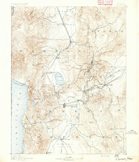
1891 · Carson
USGS Topo · 1:125,000
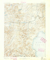
1891 · Truckee
USGS Topo · 1:125,000
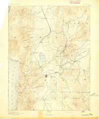
1893 · Carson
USGS Topo · 1:125,000
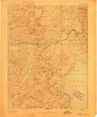
1893 · Truckee
USGS Topo · 1:125,000
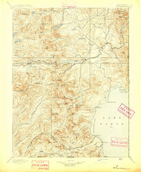
1895 · Truckee
USGS Topo · 1:125,000
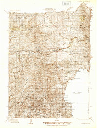
1932 · Truckee
USGS Topo · 1:96,000
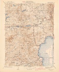
1940 · Truckee
USGS Topo · 1:125,000
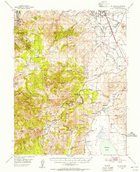
1950 · Mt. Rose
USGS Topo · 1:62,500
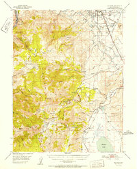
1952 · Mt. Rose
USGS Topo · 1:62,500
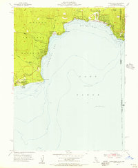
1955 · Kings Beach
USGS Topo · 1:24,000