Old Maps of Prospect Village, Reno for Metal Detecting
Plan your next treasure hunt with 24 historic maps of Prospect Village. Find old homesites, ghost towns, trails, and gathering spots that may be lost to time — perfect for identifying promising metal detecting locations.
- Locate forgotten sites: Uncover places like long-lost settlements, abandoned rail lines, or gathering spots.
- Plan better hunts: Use map overlays combined with LiDAR or satellite views to narrow in on historically rich areas.
- Made for detectorists: Thousands of hobbyists use these maps to discover relics, coins, and hidden history.
Use these historic maps to boost your research and find new opportunities beneath the surface of Prospect Village.
Prospect Village, Reno maps
(24)- 1891 Map of Carson
 1891 Carson1891 Print · USGSSilver mining and rail expansion dominate this late-century look at the Comstock Lode region, from the heights of Virginia to the capital at Carson. Researchers can trace the winding Virginia and Truckee Railroad and locate early sites like Gold Hill, Sutro, and the State Prison.
 - 1893 Map of Carson
 1893 Carson1893 Print · USGSThe Comstock Lode era is in full view here during the 1890s, centering on the silver mining centers and early rail networks of the Nevada territory. Trace the path of the Virginia and Truckee R.R. and locate historic sites like Sutro, Gold Hill, and the State Prison near Carson.9 unique versions available
 - 1950 Map of Virginia City, 1955 Print
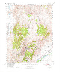
 1950 Virginia City1955 Print · USGSVirginia City and the Comstock mining corridor are seen here at mid-century, amidst a dense concentration of historic shafts and early settlement sites. Researchers can trace the legacy of silver mining through Gold Hill, the Utah Shaft, and several cemeteries that overlook the mountain ranges.3 unique versions available
 - 1950 Map of Mt. Rose, 1956 Print
 1950 Mt. Rose1956 Print · USGSMid-century Nevada comes into focus as the Reno area expands south toward the Washoe Valley and the high peaks of the Toiyabe National Forest. Genealogists and historians can trace old homesteads near Franktown, the Ophir Mill Site, and the grounds of the Bowers Mansion.3 unique versions available
 - 1952 Map of Mt. Rose
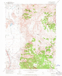
 1952 Mt. Rose1952 Print · USGSWashoe County at the start of the 1950s reveals a transition from alpine wilderness to valley ranching and early suburban growth. You can trace historical landmarks like the Ophir Mill Site, Bowers Mansion, and the winding path of the Truckee Ditch.
 - 1952 Map of Virginia City
 1952 Virginia City1952 Print · USGSStorey County's mining heartland is revealed in the mid-century, documenting the legendary Comstock Lode settlements and engineering works. Researchers can trace the massive Sutro Tunnel, locate the Lousetown (Site), and find family roots in Gold Hill or Virginia City.2 unique versions available
 - 1957 Map of Reno, 1963 Print
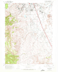
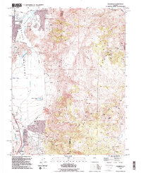
 1957 Reno1963 Print · USGSWestern Nevada in the early sixties is a land of sprawling desert sinks and rising mountain ranges. Genealogists and historians can trace the rail-and-river network connecting Reno, the mining legacy of Rawhide Mine, and the boundaries of the Pyramid Lake Indian Reservation.5 unique versions available
 - 1959 Map of Reno
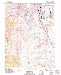
 1959 Reno1959 Print · USGSWestern Nevada in the late fifties was a land of expanding military airbases and high-desert irrigation projects. You can trace the lineage of the Comstock era through Carson City, locate the Pony Express Monument, or study the rail networks of the Southern Pacific RR.
 - 1960 Map of Reno
 1960 Reno1960 Print · USGSThe high desert of western Nevada comes alive in this mid-century survey of the Reno-Tahoe region. Genealogists and historians can trace rail lines like the Southern Pacific RR and locate remote outposts such as Olinghouse, Nixon, and the Olinghouse Mine.2 unique versions available
 - 1960 Map of Virginia City, 1976 Print
 1960 Virginia City1976 Print · USGSThe Comstock Lode is shown in detail at mid-century, mapping the industrial footprint of the silver mining boom. Genealogists and historians can locate mining infrastructure, the Sutro Tunnel, and settlements like Gold Hill, Silver City, and American Flat.
 - 1967 Map of Steamboat, 1971 Print
 1967 Steamboat1971 Print · USGSWashoe and Storey counties meet along the rugged Virginia Range during the late sixties, where mining prospects and ranching roads intersect. Genealogists and researchers can locate Washington (Site), the Brown-Washoe Sch No 3, and the Castle Peak Mine.4 unique versions available
 - 1969 Map of Mt. Rose NE, 1972 Print
 1969 Mt. Rose NE1972 Print · USGSReno's southern expansion and the surrounding ranch lands are captured here just as the suburban footprint began to reshape the Truckee Meadows in the late sixties. Researchers can trace the intersection of early irrigation at Steamboat Ditch with landmarks like Wheeler Ranch and the Reno Municipal Airport.4 unique versions available
 - 1974 Map of Mt. Rose NE, 1977 Print
 1974 Mt. Rose NE1977 Print · USGSThe southern fringes of Reno meet the high desert in the mid-1970s, showcasing a landscape in the midst of suburban expansion. Researchers can trace the natural drainage of Evans Creek and Thomas Creek as they flow toward the Truckee Meadows.
 - 1979 Map of Carson City, 1980 Print
 1979 Carson City1980 Print · USGSWestern Nevada in the late seventies reveals a landscape of historic mining districts and expanding mountain communities. Researchers can trace the Comstock Lode through Virginia City, locate the Stewart Indian School, or explore the shores of Lake Tahoe near Incline Village.2 unique versions available
 - 1994 Map of Steamboat
 1994 Steamboat1994 Print · USGSThe Reno city limits met the rugged Virginia Range during the mid-nineties, capturing a landscape of geothermal power and old mining sites. Researchers can locate the Washington Site, the thermal Hot Wells, and the Castle Peak Mine.2 unique versions available
 - 1994 Map of Mount Rose NE
 1994 Mount Rose NE1994 Print · USGSSouthern Reno meets the high Sierra Nevada foothills in the 1990s as suburban development pushes toward the wilderness. Trace the growth of Truckee Meadows neighborhoods near Meadowood Mall and locate landmarks like Virginia Lake and the Wheeler Ranch Prospect.2 unique versions available
 - 2012 Map of Steamboat, 2012 Print
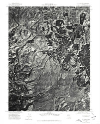
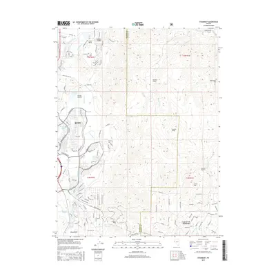
 2012 Steamboat2012 Print · USGSCovers Prospect Village, including Reno, Virginia City Highlands, and other nearby areas
 - 2012 Map of Mount Rose NE, 2012 Print
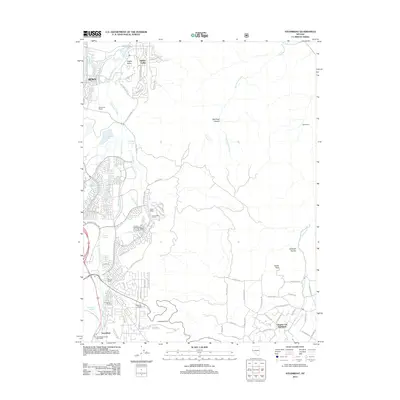
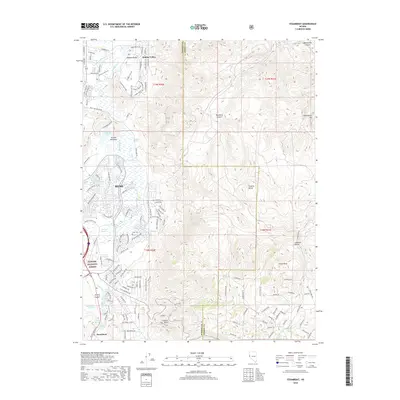
 2012 Mount Rose NE2012 Print · USGSCovers Prospect Village, including Reno, Washoe County, and other nearby areas
 - 2014 Map of Mount Rose NE, 2014 Print
 2014 Mount Rose NE2014 Print · USGSCovers Prospect Village, including Reno, Washoe County, and other nearby areas
 - 2015 Map of Steamboat, 2015 Print
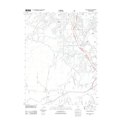
 2015 Steamboat2015 Print · USGSCovers Prospect Village, including Reno, Virginia City Highlands, and other nearby areas
 - 2018 Map of Steamboat, 2018 Print
 2018 Steamboat2018 Print · USGSCovers Prospect Village, including Reno, Virginia City Highlands, and other nearby areas
 - 2018 Map of Mount Rose NE, 2018 Print
 2018 Mount Rose NE2018 Print · USGSCovers Prospect Village, including Reno, Washoe County, and other nearby areas
 - 2021 Map of Steamboat, 2021 Print
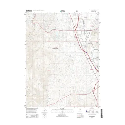
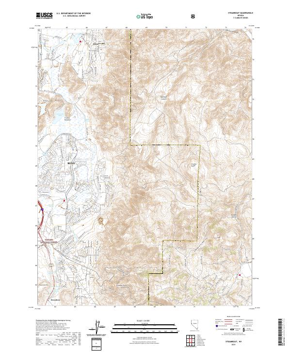 2021 Steamboat2021 Print · USGSThe south Reno corridor and the high desert of the Virginia Range come into focus in this recent survey. Researchers can trace the development of Hidden Valley and Steamboat or locate local landmarks like Reno Hot Springs and Alexander Lake.
 - 2021 Map of Mount Rose NE, 2021 Print
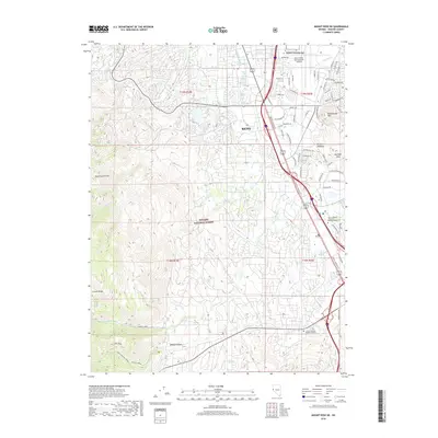
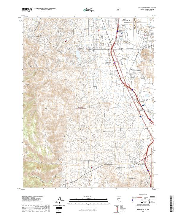 2021 Mount Rose NE2021 Print · USGSThe southern reach of Reno meets the Sierra foothills in the early 2020s, showcasing the area's rapid modern development. Researchers can trace urban growth around Reno Tahoe IAP and locate landmarks like Moana Hot Springs and Steamboat Hills.
End of results
Showing maps 1-24 of 24
Frequently asked questions
- What are the different types of historical maps available for Prospect Village?
- What is the oldest map of Prospect Village?
- Where can I purchase historical maps of Prospect Village for my home or office?
- Where can I download high-res historical maps of Prospect Village?
- Are there historical topographic maps available for Prospect Village?
- Is there historical aerial imagery available for Prospect Village?
- Where are historical maps of Prospect Village sourced from?