Old Maps of Meredith, New Hampshire for Hiking & Exploration
Hike through history with 48 historic maps of Meredith. Explore old trails, ghost towns, and forgotten backroads — perfect for outdoor adventurers and local explorers.
- Rediscover forgotten places: Map out old mining camps, roads, and footpaths that no longer exist on modern maps.
- Layer with modern tools: Combine with LiDAR or satellite views to plan hikes through historical terrain.
- Made for exploration: Popular among hikers, overlanders, and local history lovers.
Use these maps to find adventure and explore the hidden past of Meredith.
Meredith, NH maps
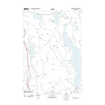
(48)- 1909 Map of Winnepesaukee
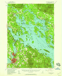
 1909 Winnepesaukee1909 Print · USGSNew Hampshire’s Lakes Region is captured here during the height of the steamship era, showing the intricate shoreline and island networks of the state's largest lake. Researchers can trace the Boston and Maine RR through LACONIA or locate early lakeside landings like The Weirs, Center Harbor, and Melvin Village.9 unique versions available
 - 1925 Map of Holderness, 1956 Print
 1925 Holderness1956 Print · USGSCentral New Hampshire in the mid-twenties centers on the Pemigewasset River and the bustling rail corridor. Genealogists can trace a network of rural schoolhouses like Sargent School and landmarks including Profile Falls and the Bay Meeting House.
 - 1927 Map of Holderness
 1927 Holderness1927 Print · USGSThe Lakes Region in the late twenties reveals a landscape of small hill-town schools and winding river valleys. Genealogists can locate family landmarks like Sargent School, Dana Church, and numerous small waters from Squam Lake to Wickwas Pond.6 unique versions available
 - 1949 Map of Portland
 1949 Portland1949 Print · USGSCoastal Maine and the New Hampshire interior are shown in detail during the late forties, from the bustling harbors to the lakeside villages. Researchers can trace historical rail networks like the Boston & Maine RR and locate coastal defenses such as Fort Preble.3 unique versions available
 - 1956 Map of Winnipesaukee, 1958 Print
 1956 Winnipesaukee1958 Print · USGSCentral New Hampshire in the mid-fifties is captured here as a premier lake destination and transportation corridor. Genealogists and historians can trace rail routes along the Boston and Maine RR and locate local landmarks like Red Hill Cem and Union Wharf.4 unique versions available
 - 1956 Map of Holderness, 1959 Print
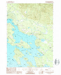
 1956 Holderness1959 Print · USGSNew Hampshire’s Lakes Region and the Pemigewasset valley are captured here in the mid-fifties as the area’s rail-and-road network supported growing tourism and local industry. Genealogists can trace family sites at the Bay Meetinghouse, North Sanbornton, and small rural schoolhouses like River Road Sch.3 unique versions available
 - 1956 Map of Portland, 1963 Print
 1956 Portland1963 Print · USGSSouthern Maine and eastern New Hampshire are captured here in the mid-fifties, during a time of major highway expansion and military growth. You can trace the path of the Maine Turnpike and locate landmarks like the Portsmouth Naval Shipyard and Sebago Lake.4 unique versions available
 - 1959 Map of Portland
 1959 Portland1959 Print · USGSThe Maine and New Hampshire coastlines meet in this mid-century portrait of maritime commerce and inland rail networks. Researchers can trace the legacy of coastal defense at Fort Williams and follow the historic path of the Maine Central RR through the White Mountain National Forest.2 unique versions available
 - 1963 Map of Portland
 1963 Portland1963 Print · USGSCoastal Maine and New Hampshire thrived as maritime and industrial hubs during the mid-sixties, linked by a dense network of rail and river. Researchers can trace historic transit corridors like the Maine Central RR and locate key sites such as the Portsmouth Naval Shipyard or Pease Air Force Base.3 unique versions available
 - 1986 Map of Lake Winnipesaukee
 1986 Lake Winnipesaukee1986 Print · USGSThe Lakes Region in the mid-eighties shows a landscape of dense water bodies and mountain ranges at the peak of its twentieth-century character. Trace the legacy of old rail lines like the Boston and Maine RR and locate historic centers from Rumney Depot to Melvin Village.2 unique versions available
 - 1987 Map of Winnisquam Lake
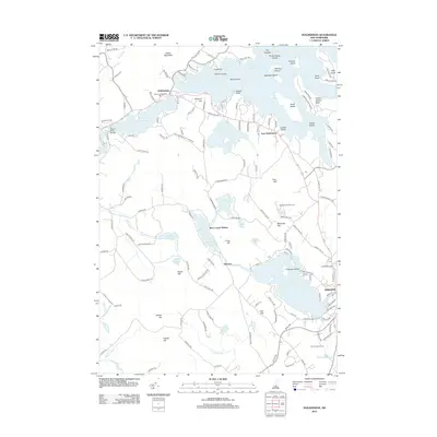
 1987 Winnisquam Lake1987 Print · USGSThe Lakes Region of New Hampshire appears here in the late twentieth century, showing a landscape of interconnected basins and protected woodlands. Genealogists and local researchers can trace family landmarks near Meredith Center, Gaza, and the Bay Meetinghouse.
 - 1987 Map of Holderness
 1987 Holderness1987 Print · USGSThe Lakes Region at the close of the twentieth century shows a landscape of interconnected waters and rising hills. Genealogists and local historians can trace family landmarks like Dolloff Hill, rural Cem sites, and the extent of Sky Pond State Forest.
 - 1987 Map of Bristol
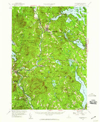
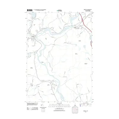
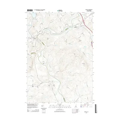
 1987 Bristol1987 Print · USGSCentral New Hampshire in the late eighties reveals a landscape of river valleys and timbered peaks across Grafton and Belknap counties. Genealogists and hikers can trace family-named landmarks like Huses Mountain or explore Sugar Hill State Forest and New Hampton.
 - 1987 Map of Laconia
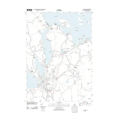
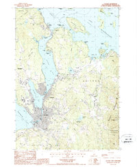 1987 Laconia1987 Print · USGSBelknap County's lakefront communities and recreation centers are captured here during the late eighties. Researchers can trace the development of the Laconia waterfront, find landmarks like the Drive-In Theater, or explore the slopes of Gunstock Mtn.2 unique versions available
 - 1987 Map of Center Harbor
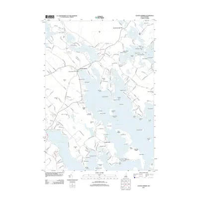
 1987 Center Harbor1987 Print · USGSThe northern waters of Lake Winnipesaukee meet the heights of Red Hill in the late eighties. Genealogists and local historians can trace the lakeside docks of Center Harbor, the cemetery at Sunset Hill, and the scattered islands from Bear Island to Jolly Island.
 - 1987 Map of Melvin Village
 1987 Melvin Village1987 Print · USGSLake Winnipesaukee's northern shores are captured in the late eighties, showing a landscape defined by historic landings and the transition into the Ossipee Mountains. Genealogists and local historians can trace family locations near Melvin Village, Center Tuftonboro, and the working waterfront at Union Wharf.
 - 1998 Map of Center Harbor, 1999 Print
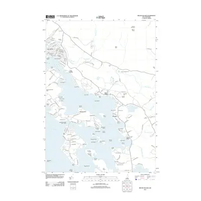
 1998 Center Harbor1999 Print · USGSThe New Hampshire Lakes Region is captured in detail in the late nineties, showing the complex shorelines and islands of the northern reaches. Researchers can trace the development of Center Harbor and Meredith or locate specific island landmarks like Bear Island and Black Cat Island.
 - 2000 Map of Bristol, 2001 Print
 2000 Bristol2001 Print · USGSThe Pemigewasset River valley comes to life at the turn of the millennium, showing the intersecting boundaries of three New Hampshire counties. Researchers can trace the legacy of local conservation and industry through the New Hampton State Fish Hatchery and the high ridges of Huses Mountain.
 - 2012 Map of Center Harbor, 2012 Print
 2012 Center Harbor2012 Print · USGSCovers Meredith, including Laconia, Gilford, and other nearby areas
 - 2012 Map of Laconia, 2012 Print
 2012 Laconia2012 Print · USGSCovers Meredith, including Laconia, Gilford, and other nearby areas
 - 2012 Map of Bristol, 2012 Print
 2012 Bristol2012 Print · USGSCovers Meredith, including Franklin, Bristol, and other nearby areas
 - 2012 Map of Holderness, 2012 Print
 2012 Holderness2012 Print · USGSCovers Meredith, including Moultonborough, New Hampton, and other nearby areas
 - 2012 Map of Winnisquam Lake, 2012 Print
 2012 Winnisquam Lake2012 Print · USGSCovers Meredith, including Laconia, Belmont, and other nearby areas
 - 2012 Map of Melvin Village, 2012 Print
 2012 Melvin Village2012 Print · USGSCovers Meredith, including Gilford, Moultonborough, and other nearby areas
 - 2015 Map of Bristol, 2015 Print
 2015 Bristol2015 Print · USGSCovers Meredith, including Franklin, Bristol, and other nearby areas
Showing maps 1-25 of 48
Top cities near Meredith
- Laconia historical maps
- Franklin historical maps
- Gilford historical maps
- Belmont historical maps
- Northfield historical maps
- Loudon historical maps
See more
Top neighborhoods of Meredith
- Bear Island historical maps
- Boardmans Point historical maps
- East Bear Island historical maps
- Hornets Nest Point historical maps
- Jerry Point historical maps
- Lovejoy Sands historical maps
See more
Frequently asked questions
- What are the different types of historical maps available for Meredith?
- What is the oldest map of Meredith?
- Where can I purchase historical maps of Meredith for my home or office?
- Where can I download high-res historical maps of Meredith?
- Are there historical topographic maps available for Meredith?
- Is there historical aerial imagery available for Meredith?
- Where are historical maps of Meredith sourced from?