2000s (21st Century) Maps of Meredith, New Hampshire
Explore 31 historic maps of Meredith from the 2000s (21st Century). These maps offer a rare glimpse into what life looked like during the 2000s — showing old roads, neighborhoods, homes, and landmarks that have changed or disappeared over time.
Whether you're researching your family's past, planning a metal detecting trip, or studying how Meredith's landscape evolved across the 2000s, these high-resolution maps are a powerful tool for exploring the history of this region.
- Focus on a specific era: All maps on this page are from the 2000s, giving you a focused view of this time period.
- See what’s changed: Compare century-old streets, trails, and buildings to today's modern landscape using overlays and satellite layers.
- Research with precision: Use these maps for genealogy, historical research, land use analysis, or educational projects.
- View, download, or print: Maps are fully viewable online in high resolution, and can be downloaded or printed for your own records.
Start exploring Meredith's history through authentic maps from the 2000s. This is your window into the past.
Meredith, NH maps
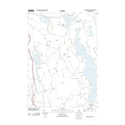
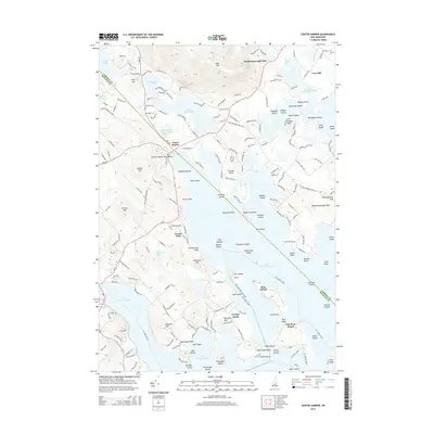
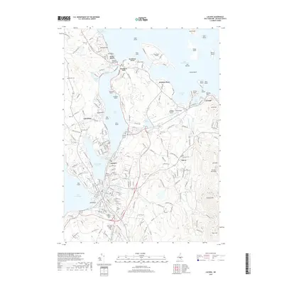
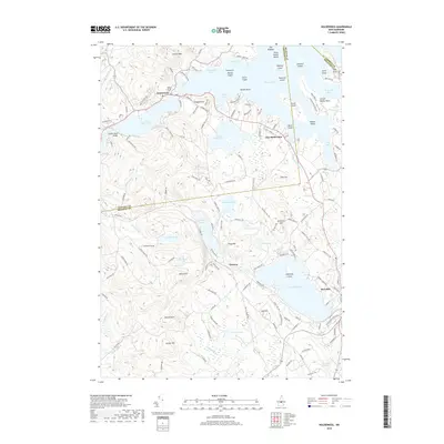
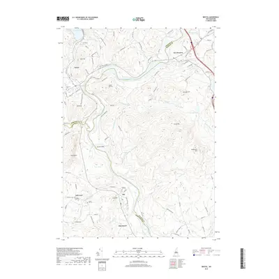
(31)- 2000 Map of Bristol, 2001 Print
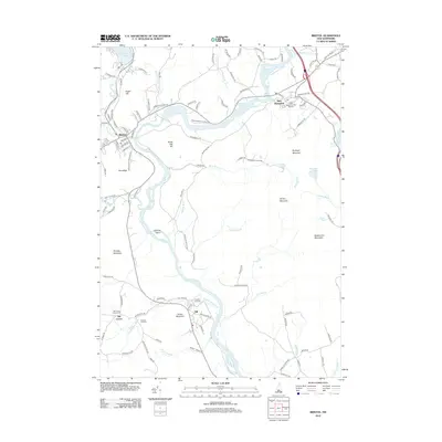
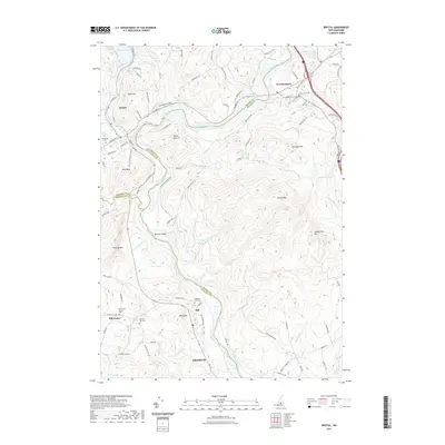
 2000 Bristol2001 Print · USGSThe Pemigewasset River valley comes to life at the turn of the millennium, showing the intersecting boundaries of three New Hampshire counties. Researchers can trace the legacy of local conservation and industry through the New Hampton State Fish Hatchery and the high ridges of Huses Mountain.
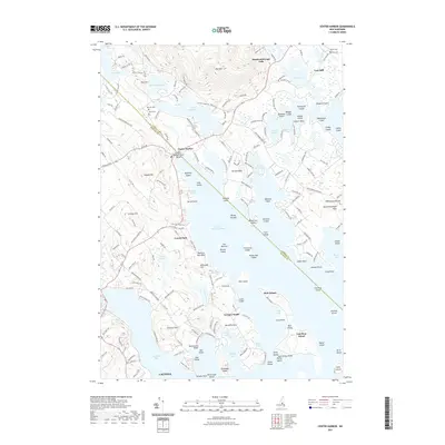
 - 2012 Map of Center Harbor, 2012 Print
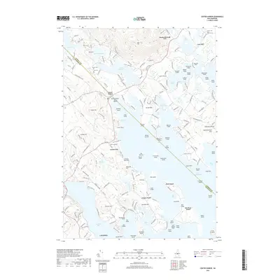
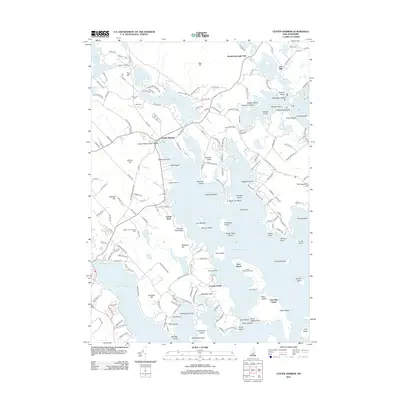 2012 Center Harbor2012 Print · USGSCovers Meredith, including Laconia, Gilford, and other nearby areas
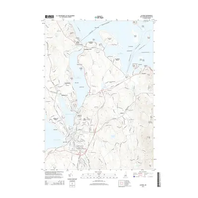
 - 2012 Map of Laconia, 2012 Print
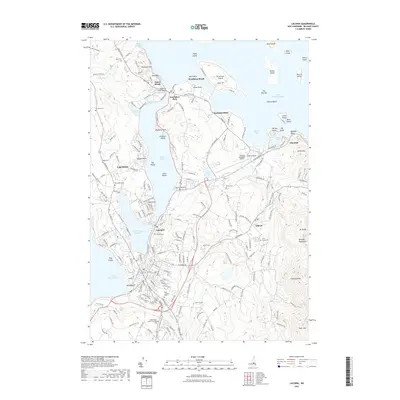
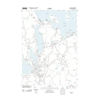 2012 Laconia2012 Print · USGSCovers Meredith, including Laconia, Gilford, and other nearby areas
 - 2012 Map of Bristol, 2012 Print
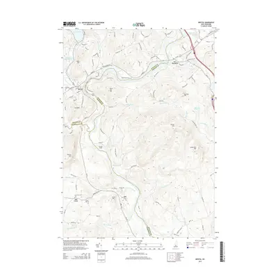
 2012 Bristol2012 Print · USGSCovers Meredith, including Franklin, Bristol, and other nearby areas
 - 2012 Map of Holderness, 2012 Print
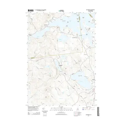
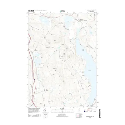
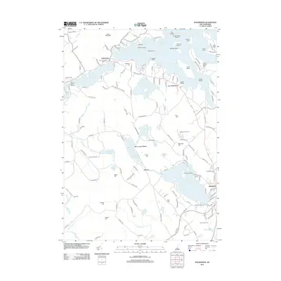 2012 Holderness2012 Print · USGSCovers Meredith, including Moultonborough, New Hampton, and other nearby areas
 - 2012 Map of Winnisquam Lake, 2012 Print
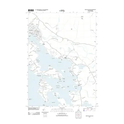
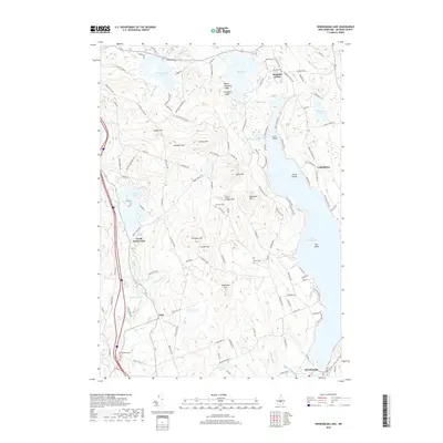
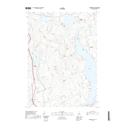
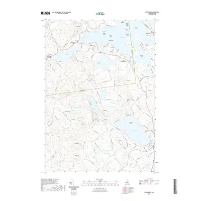
 2012 Winnisquam Lake2012 Print · USGSCovers Meredith, including Laconia, Belmont, and other nearby areas
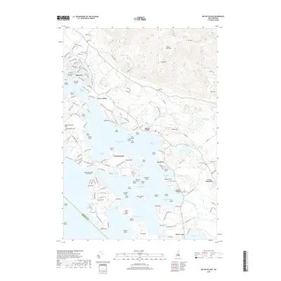
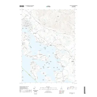
 - 2012 Map of Melvin Village, 2012 Print
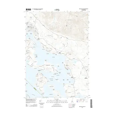
 2012 Melvin Village2012 Print · USGSCovers Meredith, including Gilford, Moultonborough, and other nearby areas
 - 2015 Map of Bristol, 2015 Print
 2015 Bristol2015 Print · USGSCovers Meredith, including Franklin, Bristol, and other nearby areas
 - 2015 Map of Holderness, 2015 Print
 2015 Holderness2015 Print · USGSCovers Meredith, including Moultonborough, New Hampton, and other nearby areas
 - 2015 Map of Center Harbor, 2015 Print
 2015 Center Harbor2015 Print · USGSCovers Meredith, including Laconia, Gilford, and other nearby areas
 - 2015 Map of Laconia, 2015 Print
 2015 Laconia2015 Print · USGSCovers Meredith, including Laconia, Gilford, and other nearby areas
 - 2015 Map of Winnisquam Lake, 2015 Print
 2015 Winnisquam Lake2015 Print · USGSCovers Meredith, including Laconia, Belmont, and other nearby areas
 - 2015 Map of Melvin Village, 2015 Print
 2015 Melvin Village2015 Print · USGSCovers Meredith, including Gilford, Moultonborough, and other nearby areas
 - 2018 Map of Laconia, 2018 Print
 2018 Laconia2018 Print · USGSCovers Meredith, including Laconia, Gilford, and other nearby areas
 - 2018 Map of Melvin Village, 2018 Print
 2018 Melvin Village2018 Print · USGSCovers Meredith, including Gilford, Moultonborough, and other nearby areas
 - 2018 Map of Center Harbor, 2018 Print
 2018 Center Harbor2018 Print · USGSCovers Meredith, including Laconia, Gilford, and other nearby areas
 - 2018 Map of Winnisquam Lake, 2018 Print
 2018 Winnisquam Lake2018 Print · USGSCovers Meredith, including Laconia, Belmont, and other nearby areas
 - 2018 Map of Holderness, 2018 Print
 2018 Holderness2018 Print · USGSCovers Meredith, including Moultonborough, New Hampton, and other nearby areas
 - 2018 Map of Bristol, 2018 Print
 2018 Bristol2018 Print · USGSCovers Meredith, including Franklin, Bristol, and other nearby areas
 - 2021 Map of Center Harbor, 2021 Print
 2021 Center Harbor2021 Print · USGSCovers Meredith, including Laconia, Gilford, and other nearby areas
 - 2021 Map of Winnisquam Lake, 2021 Print
 2021 Winnisquam Lake2021 Print · USGSCovers Meredith, including Laconia, Belmont, and other nearby areas
 - 2021 Map of Melvin Village, 2021 Print
 2021 Melvin Village2021 Print · USGSCovers Meredith, including Gilford, Moultonborough, and other nearby areas
 - 2021 Map of Bristol, 2021 Print
 2021 Bristol2021 Print · USGSCovers Meredith, including Franklin, Bristol, and other nearby areas
 - 2021 Map of Holderness, 2021 Print
 2021 Holderness2021 Print · USGSCovers Meredith, including Moultonborough, New Hampton, and other nearby areas
 - 2021 Map of Laconia, 2021 Print
 2021 Laconia2021 Print · USGSCovers Meredith, including Laconia, Gilford, and other nearby areas
Showing maps 1-25 of 31
Top cities near Meredith
- Laconia historical maps
- Franklin historical maps
- Gilford historical maps
- Belmont historical maps
- Northfield historical maps
- Loudon historical maps
See more
Top neighborhoods of Meredith
- Bear Island historical maps
- Boardmans Point historical maps
- East Bear Island historical maps
- Hornets Nest Point historical maps
- Jerry Point historical maps
- Lovejoy Sands historical maps
See more
Frequently asked questions
- What are the different types of historical maps available for Meredith?
- What is the oldest map of Meredith?
- Where can I purchase historical maps of Meredith for my home or office?
- Where can I download high-res historical maps of Meredith?
- Are there historical topographic maps available for Meredith?
- Is there historical aerial imagery available for Meredith?
- Where are historical maps of Meredith sourced from?