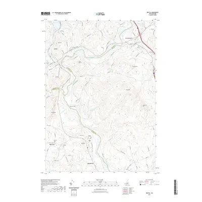
2021 Map of Bristol
USGS Topo · Published 2021About this map
The Pemigewasset River carves a winding path through the center of this landscape, separating the highland communities of Bristol and New Hampton in the north from Hill and Franklin further south. The river's course is punctuated by Sumner Island and fed by numerous tributaries including Blake Brook and Prescott Brook. This modern topographic study reveals a terrain of significant elevation changes, from the shores of Newfound Lake to the summits of Burleigh Mtn, Hersey Mtn, and Sanbornton Mtn. Local history is preserved in the location of the Hill Center Church Yard and several neighborhood burial grounds like Homeland Cem and Bunker Hill Cem. The map illustrates the contemporary road network, including Pinnacle Hill Rd and Bennetts Ferry Rd, reflecting the continued importance of these historical transit corridors through the river valley.
Find a feature on this map
104 named features on this map. Tap any name to fly to it.
Don’t see what you’re looking for? This feature index may not catch every label — zoom into the map to look around manually.
Map Details
Editions of this 2021 Bristol Map
This is the sole edition of this map. No revisions or reprints were ever made.
Other maps of this area

1925 · Holderness
USGS Topo · 1:62,500

1927 · Penacook
USGS Topo · 1:62,500

1927 · Holderness
USGS Topo · 1:62,500

1927 · Cardigan
USGS Topo · 1:62,500

1928 · Mount Kearsarge
USGS Topo · 1:62,500

1930 · Cardigan
USGS Topo · 1:62,500

1931 · Mount Kearsarge
USGS Topo · 1:62,500

1949 · Portland
USGS Topo · 1:250,000

1956 · Cardigan
USGS Topo · 1:62,500

1956 · Penacook
USGS Topo · 1:62,500