2000s (21st Century) Maps of Mason, New Hampshire
Explore 20 historic maps of Mason from the 2000s (21st Century). These maps offer a rare glimpse into what life looked like during the 2000s — showing old roads, neighborhoods, homes, and landmarks that have changed or disappeared over time.
Whether you're researching your family's past, planning a metal detecting trip, or studying how Mason's landscape evolved across the 2000s, these high-resolution maps are a powerful tool for exploring the history of this region.
- Focus on a specific era: All maps on this page are from the 2000s, giving you a focused view of this time period.
- See what’s changed: Compare century-old streets, trails, and buildings to today's modern landscape using overlays and satellite layers.
- Research with precision: Use these maps for genealogy, historical research, land use analysis, or educational projects.
- View, download, or print: Maps are fully viewable online in high resolution, and can be downloaded or printed for your own records.
Start exploring Mason's history through authentic maps from the 2000s. This is your window into the past.
Mason, NH maps
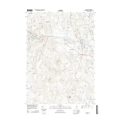
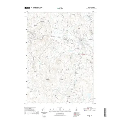
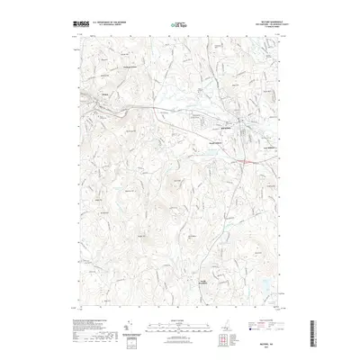
(20)- 2012 Map of Milford, 2012 Print
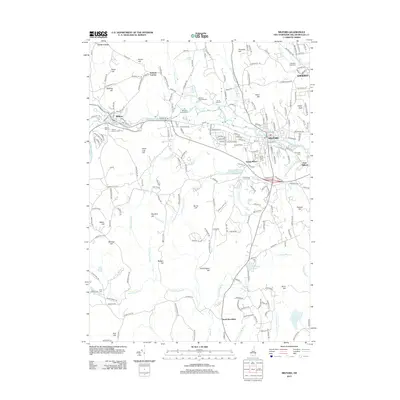 2012 Milford2012 Print · USGSCovers Mason, including Milford, Hollis, and other nearby areas
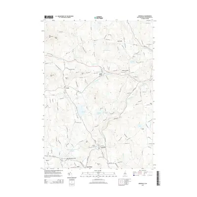
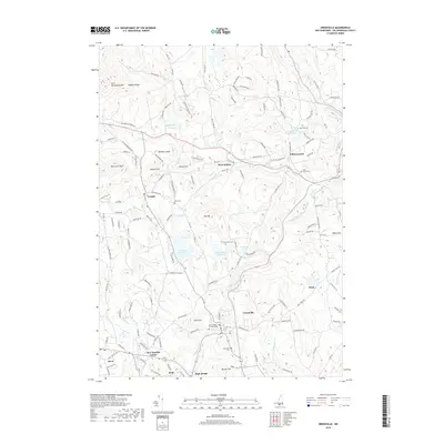
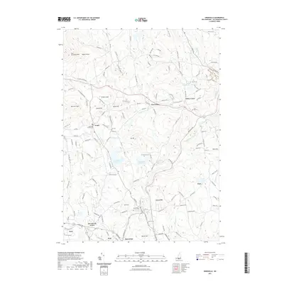
 - 2012 Map of Greenville, 2012 Print
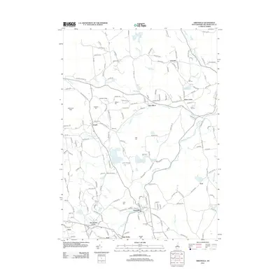 2012 Greenville2012 Print · USGSCovers Mason, including New Ipswich, Wilton, and other nearby areas
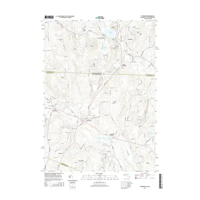
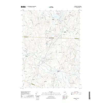
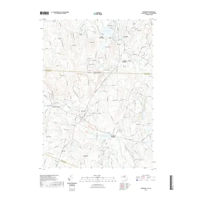
 - 2012 Map of Townsend, 2012 Print
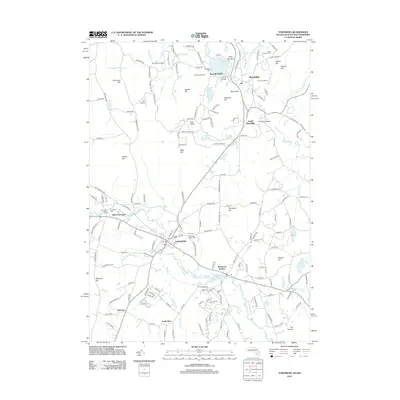 2012 Townsend2012 Print · USGSCovers Mason, including Pepperell, Groton, and other nearby areas
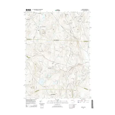
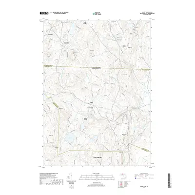
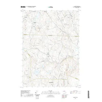
 - 2012 Map of Ashby, 2012 Print
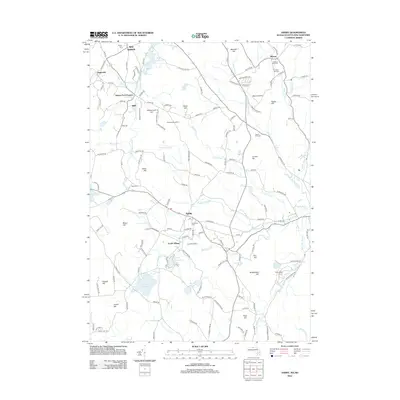 2012 Ashby2012 Print · USGSCovers Mason, including Fitchburg, Lunenburg, and other nearby areas
 - 2015 Map of Milford, 2015 Print
 2015 Milford2015 Print · USGSCovers Mason, including Milford, Hollis, and other nearby areas
 - 2015 Map of Greenville, 2015 Print
 2015 Greenville2015 Print · USGSCovers Mason, including New Ipswich, Wilton, and other nearby areas
 - 2015 Map of Townsend, 2015 Print
 2015 Townsend2015 Print · USGSCovers Mason, including Pepperell, Groton, and other nearby areas
 - 2015 Map of Ashby, 2015 Print
 2015 Ashby2015 Print · USGSCovers Mason, including Fitchburg, Lunenburg, and other nearby areas
 - 2018 Map of Townsend, 2018 Print
 2018 Townsend2018 Print · USGSCovers Mason, including Pepperell, Groton, and other nearby areas
 - 2018 Map of Greenville, 2018 Print
 2018 Greenville2018 Print · USGSCovers Mason, including New Ipswich, Wilton, and other nearby areas
 - 2018 Map of Ashby, 2018 Print
 2018 Ashby2018 Print · USGSCovers Mason, including Fitchburg, Lunenburg, and other nearby areas
 - 2018 Map of Milford, 2018 Print
 2018 Milford2018 Print · USGSCovers Mason, including Milford, Hollis, and other nearby areas
 - 2021 Map of Greenville, 2021 Print
 2021 Greenville2021 Print · USGSCovers Mason, including New Ipswich, Wilton, and other nearby areas
 - 2021 Map of Milford, 2021 Print
 2021 Milford2021 Print · USGSCovers Mason, including Milford, Hollis, and other nearby areas
 - 2021 Map of Ashby, 2021 Print
 2021 Ashby2021 Print · USGSCovers Mason, including Fitchburg, Lunenburg, and other nearby areas
 - 2021 Map of Townsend, 2021 Print
 2021 Townsend2021 Print · USGSCovers Mason, including Pepperell, Groton, and other nearby areas
 - 2024 Map of Ashby, 2024 Print
 2024 Ashby2024 Print · USGSStraddling the Massachusetts and New Hampshire line in the 2020s, this area reveals a highland landscape of forested hills and historic cemeteries. Researchers can trace ancestral sites at Ashby First Parish Burial Ground and follow the path of the Old Railroad Trl near Willard Brook State Forest.
 - 2024 Map of Milford, 2024 Print
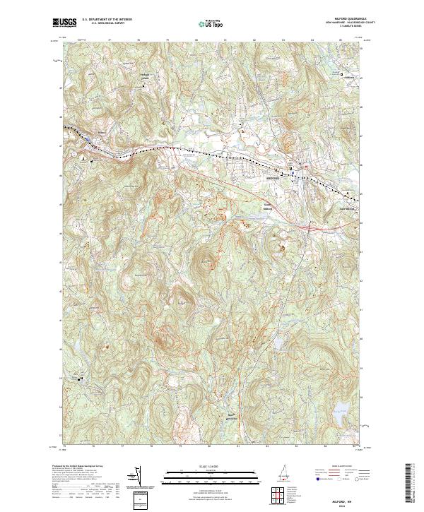 2024 Milford2024 Print · USGSHillsborough County's mill-town history and rural uplands are shown here in recent detail. Genealogists and researchers can locate numerous historical burial sites like Laurel Hill Cem and North Yard Cem, or trace watercourses like Black Brook.
 - 2024 Map of Greenville, 2024 Print
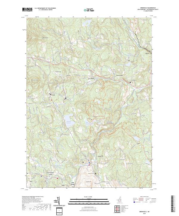 2024 Greenville2024 Print · USGSHillsborough County maintains its quiet character in the 2020s, defined by the winding Souhegan River and its historic mill towns. Genealogists and hikers can trace the Greenville Rec. Rail Trl or locate family sites like Vale End Cem and Miller Cem.
 - 2024 Map of Townsend, 2024 Print
 2024 Townsend2024 Print · USGSThe borderlands of Middlesex and Hillsborough counties are shown here in modern detail, focusing on the river-linked towns of Townsend and Brookline. Researchers can trace historic burial sites like the Old Burying Ground or follow the path of the Mason NH Rail Trail ext. Tri.
End of results
Showing maps 1-20 of 20
Top cities near Mason
- Nashua historical maps
- Leominster historical maps
- Fitchburg historical maps
- Merrimack historical maps
- Gardner historical maps
- Bedford historical maps
See more
Frequently asked questions
- What are the different types of historical maps available for Mason?
- What is the oldest map of Mason?
- Where can I purchase historical maps of Mason for my home or office?
- Where can I download high-res historical maps of Mason?
- Are there historical topographic maps available for Mason?
- Is there historical aerial imagery available for Mason?
- Where are historical maps of Mason sourced from?