2000s (21st Century) Maps of Exeter, New Hampshire
Explore 20 historic maps of Exeter from the 2000s (21st Century). These maps offer a rare glimpse into what life looked like during the 2000s — showing old roads, neighborhoods, homes, and landmarks that have changed or disappeared over time.
Whether you're researching your family's past, planning a metal detecting trip, or studying how Exeter's landscape evolved across the 2000s, these high-resolution maps are a powerful tool for exploring the history of this region.
- Focus on a specific era: All maps on this page are from the 2000s, giving you a focused view of this time period.
- See what’s changed: Compare century-old streets, trails, and buildings to today's modern landscape using overlays and satellite layers.
- Research with precision: Use these maps for genealogy, historical research, land use analysis, or educational projects.
- View, download, or print: Maps are fully viewable online in high resolution, and can be downloaded or printed for your own records.
Start exploring Exeter's history through authentic maps from the 2000s. This is your window into the past.
Exeter, NH maps
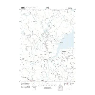
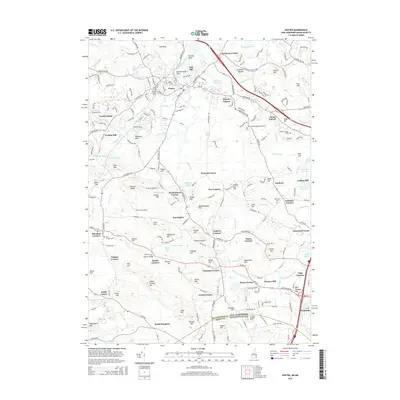
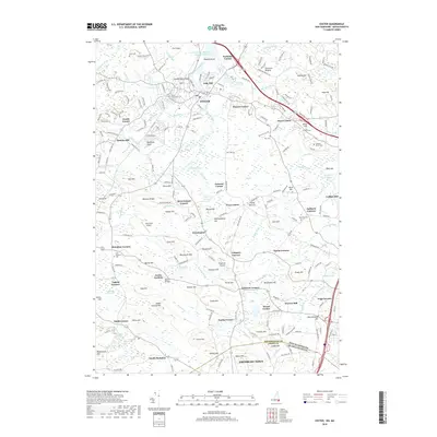
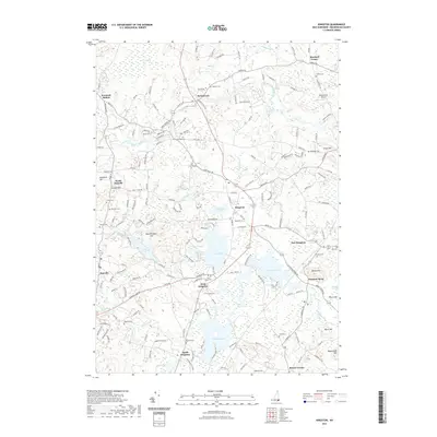
(20)- 2012 Map of Kingston, 2012 Print
 2012 Kingston2012 Print · USGSCovers Exeter, including Hampstead, Plaistow, and other nearby areas
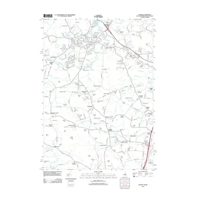
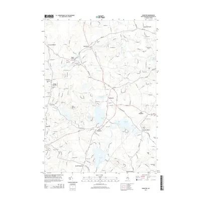
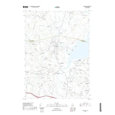
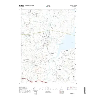
 - 2012 Map of Newmarket, 2012 Print
 2012 Newmarket2012 Print · USGSCovers Exeter, including Durham, Stratham, and other nearby areas
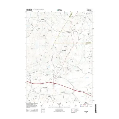
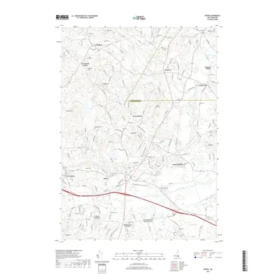
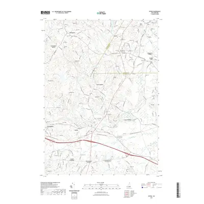
 - 2012 Map of Epping, 2012 Print
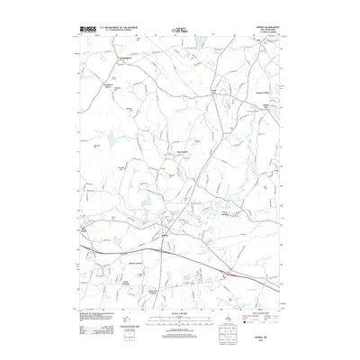 2012 Epping2012 Print · USGSCovers Exeter, including Newmarket, Nottingham, and other nearby areas
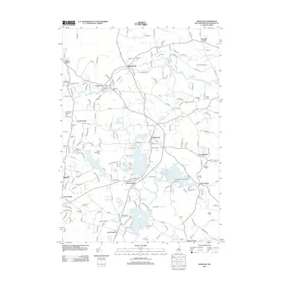
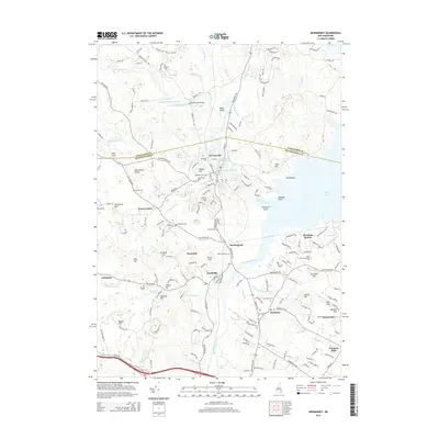
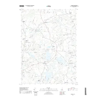
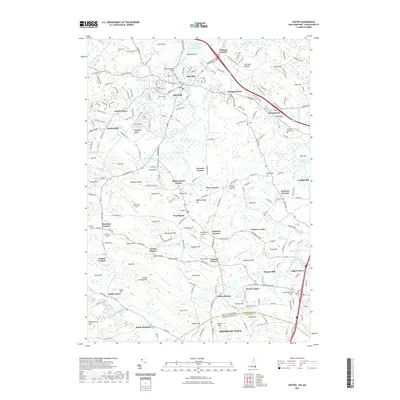
 - 2012 Map of Exeter, 2012 Print
 2012 Exeter2012 Print · USGSCovers Exeter, including Amesbury, Hampton, and other nearby areas
 - 2015 Map of Newmarket, 2015 Print
 2015 Newmarket2015 Print · USGSCovers Exeter, including Durham, Stratham, and other nearby areas
 - 2015 Map of Epping, 2015 Print
 2015 Epping2015 Print · USGSCovers Exeter, including Newmarket, Nottingham, and other nearby areas
 - 2015 Map of Kingston, 2015 Print
 2015 Kingston2015 Print · USGSCovers Exeter, including Hampstead, Plaistow, and other nearby areas
 - 2015 Map of Exeter, 2015 Print
 2015 Exeter2015 Print · USGSCovers Exeter, including Amesbury, Hampton, and other nearby areas
 - 2018 Map of Epping, 2018 Print
 2018 Epping2018 Print · USGSCovers Exeter, including Newmarket, Nottingham, and other nearby areas
 - 2018 Map of Exeter, 2018 Print
 2018 Exeter2018 Print · USGSCovers Exeter, including Amesbury, Hampton, and other nearby areas
 - 2018 Map of Newmarket, 2018 Print
 2018 Newmarket2018 Print · USGSCovers Exeter, including Durham, Stratham, and other nearby areas
 - 2018 Map of Kingston, 2018 Print
 2018 Kingston2018 Print · USGSCovers Exeter, including Hampstead, Plaistow, and other nearby areas
 - 2021 Map of Exeter, 2021 Print
 2021 Exeter2021 Print · USGSCovers Exeter, including Amesbury, Hampton, and other nearby areas
 - 2021 Map of Newmarket, 2021 Print
 2021 Newmarket2021 Print · USGSCovers Exeter, including Durham, Stratham, and other nearby areas
 - 2021 Map of Kingston, 2021 Print
 2021 Kingston2021 Print · USGSCovers Exeter, including Hampstead, Plaistow, and other nearby areas
 - 2021 Map of Epping, 2021 Print
 2021 Epping2021 Print · USGSCovers Exeter, including Newmarket, Nottingham, and other nearby areas
 - 2024 Map of Newmarket, 2024 Print
 2024 Newmarket2024 Print · USGSCoastal New Hampshire and the Squamscott River valley are shown here in recent years, documenting a landscape of tidal creeks and ancient family lands. Genealogists can locate dozens of small burial sites like the Cheswell Cem or trace the Rockingham Rec. Rail Trl through Newfields.
 - 2024 Map of Epping, 2024 Print
 2024 Epping2024 Print · USGSRockingham County at the turn of the 21st century remains a landscape of deep ancestry and river corridors. Genealogists and historians can trace family ties through dozens of small plots like the Plumer Family Burial Ground or explore the rail-to-trail conversion of the Rockingham Rec. Rail Trl.
 - 2024 Map of Exeter, 2024 Print
 2024 Exeter2024 Print · USGSRockingham County at the contemporary moment retains its traditional New England character, anchored by the riverfront settlement of Exeter. Researchers can trace generational family roots through landmarks like Bride Hill Cem, the Upper Yard Burial Ground, and the old sites of Coffins Mill.
 - 2024 Map of Kingston, 2024 Print
 2024 Kingston2024 Print · USGSRockingham County at the start of the 2020s shows a landscape where historic town centers and rural corners remain well-defined. Genealogists can trace family lines across numerous burial sites like Plains Cem and Mill Hill Cem, or locate landmarks like Fremont Station.
End of results
Showing maps 1-20 of 20
Top cities near Exeter
- Haverhill historical maps
- Methuen historical maps
- Dover historical maps
- Salem historical maps
- Portsmouth historical maps
- Newburyport historical maps
See more
Top neighborhoods of Exeter
- Perkins Hill historical maps
- Jady Hill historical maps
- Dows Corner historical maps
- West End historical maps
- The Plains historical maps
Frequently asked questions
- What are the different types of historical maps available for Exeter?
- What is the oldest map of Exeter?
- Where can I purchase historical maps of Exeter for my home or office?
- Where can I download high-res historical maps of Exeter?
- Are there historical topographic maps available for Exeter?
- Is there historical aerial imagery available for Exeter?
- Where are historical maps of Exeter sourced from?