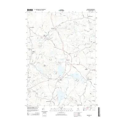
2015 Map of Kingston
USGS Topo · Published 2015About this map
Greenwood Pond and Great Pond sit at the heart of this Rockingham County landscape, where the Powwow River and Little River drain a complex network of wetlands and small glacial hills. The 2015 survey reveals a pattern of modern residential growth overlaid on a deeply historic New England settlement structure. Concentric village centers at Kingston, West Kingston, and East Kingston define the local geography, connected by a web of winding secondary roads like RT-107 and RT-111.
Find a feature on this map
185 named features on this map. Tap any name to fly to it.
Don’t see what you’re looking for? This feature index may not catch every label — zoom into the map to look around manually.
Map Details
Editions of this 2015 Kingston Map
This is the sole edition of this map. No revisions or reprints were ever made.
Other maps of this area

1888 · Newburyport
USGS Topo · 1:62,500

1888 · Haverhill
USGS Topo · 1:62,500

1890 · Haverhill
USGS Topo · 1:62,500

1890 · Newburyport
USGS Topo · 1:62,500

1893 · Dover
USGS Topo · 1:62,500

1893 · Haverhill
USGS Topo · 1:62,500

1894 · Newburyport
USGS Topo · 1:62,500

1916 · Dover
USGS Topo · 1:62,500

1917 · Mt. Pawtuckaway
USGS Topo · 1:62,500

1918 · Dover
USGS Topo · 1:62,500