2020s Maps of Cornish, New Hampshire
Explore 12 historic maps of Cornish from the 2020s. These maps offer a rare glimpse into what life looked like during the 2020s — showing old roads, neighborhoods, homes, and landmarks that have changed or disappeared over time.
Whether you're researching your family's past, planning a metal detecting trip, or studying how Cornish's landscape evolved across the 2020s, these high-resolution maps are a powerful tool for exploring the history of this region.
- Focus on a specific era: All maps on this page are from the 2020s, giving you a focused view of this time period.
- See what’s changed: Compare century-old streets, trails, and buildings to today's modern landscape using overlays and satellite layers.
- Research with precision: Use these maps for genealogy, historical research, land use analysis, or educational projects.
- View, download, or print: Maps are fully viewable online in high resolution, and can be downloaded or printed for your own records.
Start exploring Cornish's history through authentic maps from the 2020s. This is your window into the past.
Cornish, NH maps
(12)- 2021 Map of Grantham, 2021 Print
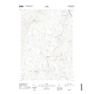 2021 Grantham2021 Print · USGSCovers Cornish, including Newport, Grantham, and other nearby areas
 - 2021 Map of North Grantham, 2021 Print
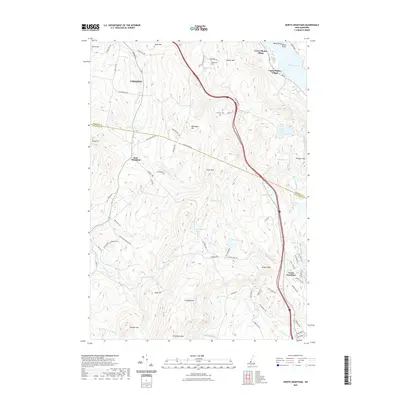 2021 North Grantham2021 Print · USGSCovers Cornish, including Lebanon, Enfield, and other nearby areas
 - 2021 Map of Claremont North, 2021 Print
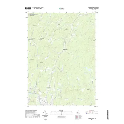 2021 Claremont North2021 Print · USGSCovers Cornish, including Claremont, Newport, and other nearby areas
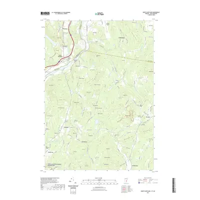
 - 2021 Map of Hartland, 2021 Print
 2021 Hartland2021 Print · USGSCovers Cornish, including Hartford, Hartland, and other nearby areas
 - 2021 Map of Windsor, 2021 Print
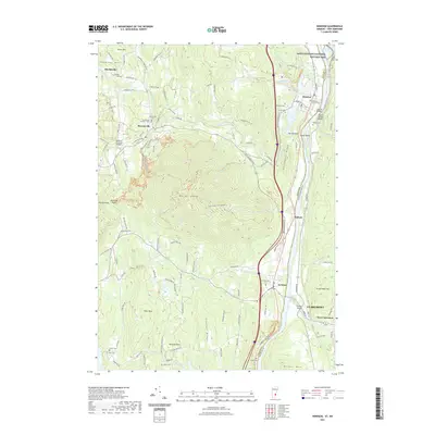 2021 Windsor2021 Print · USGSCovers Cornish, including Claremont, Windsor, and other nearby areas
 - 2021 Map of North Hartland, 2021 Print
 2021 North Hartland2021 Print · USGSCovers Cornish, including Lebanon, Hartford, and other nearby areas
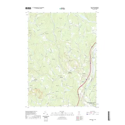
 - 2024 Map of Hartland, 2024 Print
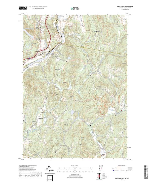
 2024 Hartland2024 Print · USGSThe Upper Connecticut River Valley at the Vermont-New Hampshire border is shown here with its network of rural settlements. Researchers can trace family history through local landmarks like Hartland Four Corners, Hoisington Cem, and the Saint-Gaudens National Historic Site.
 - 2024 Map of Grantham, 2024 Print
 2024 Grantham2024 Print · USGSSullivan County’s high ridgelines and river valleys are captured here in the mid-2020s, showing the enduring settlement patterns of central New Hampshire. Researchers can locate numerous family burial grounds and landmarks like Croydon Flat Cem, Parlin Field, and the peak of Croydon Mountain.
 - 2024 Map of North Grantham, 2024 Print
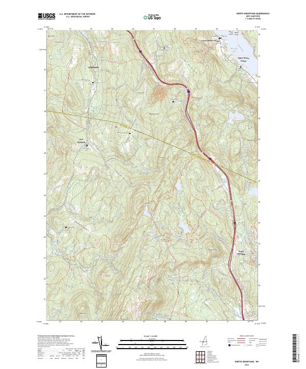 2024 North Grantham2024 Print · USGSSullivan County upland life is captured here in the early twenty-first century, spanning the historic villages and mountain ridges of New Hampshire. Trace legacy sites from Lower Shaker Village to Upper Shaker Village, or locate family burial grounds at Purmort Cem and Gleason Cem.
 - 2024 Map of Claremont North, 2024 Print
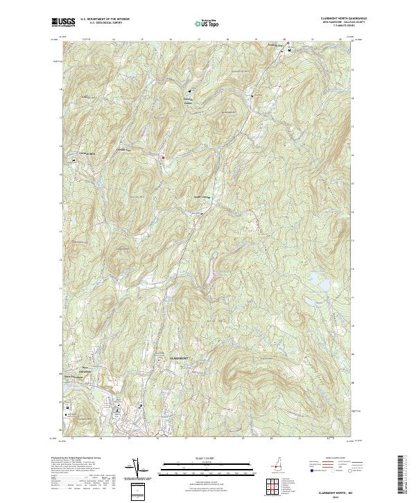 2024 Claremont North2024 Print · USGSSullivan County’s upland terrain and riverside settlements are captured in this contemporary view of the Cornish and Claremont areas. Researchers can locate numerous family burial sites like Comings Cem and landmarks such as the Saint-Gaudens National Historic Site.
 - 2024 Map of Windsor, 2024 Print
 2024 Windsor2024 Print · USGSThe Upper Connecticut River Valley at the Vermont-New Hampshire border reveals a landscape shaped by high peaks and river-port history. Genealogists and hikers can trace historical sites from Old South Church Cem to the trails surrounding Mt Ascutney and Gerrys Falls.
 - 2024 Map of North Hartland, 2024 Print
 2024 North Hartland2024 Print · USGSThe Upper Valley straddling the Vermont and New Hampshire border is captured here in detail, showcasing the settlements of North Hartland and Plainfield. Researchers can trace early family lines through numerous burial sites like Russtown Cem and Raynesford Cem, or follow the winding path of Bloods Brook through the hills.
End of results
Showing maps 1-12 of 12
Top cities near Cornish
- Lebanon historical maps
- Claremont historical maps
- Hanover historical maps
- Hartford historical maps
- Newport historical maps
- Enfield historical maps
See more
Top neighborhoods of Cornish
- Balloch historical maps
- Cornish Flat historical maps
- Cornish City historical maps
- South Cornish historical maps
- Cornish Center historical maps
- Squag City historical maps
See more
Frequently asked questions
- What are the different types of historical maps available for Cornish?
- What is the oldest map of Cornish?
- Where can I purchase historical maps of Cornish for my home or office?
- Where can I download high-res historical maps of Cornish?
- Are there historical topographic maps available for Cornish?
- Is there historical aerial imagery available for Cornish?
- Where are historical maps of Cornish sourced from?