Old Maps of Grantham, New Hampshire for Metal Detecting
Plan your next treasure hunt with 38 historic maps of Grantham. Find old homesites, ghost towns, trails, and gathering spots that may be lost to time — perfect for identifying promising metal detecting locations.
- Locate forgotten sites: Uncover places like long-lost settlements, abandoned rail lines, or gathering spots.
- Plan better hunts: Use map overlays combined with LiDAR or satellite views to narrow in on historically rich areas.
- Made for detectorists: Thousands of hobbyists use these maps to discover relics, coins, and hidden history.
Use these historic maps to boost your research and find new opportunities beneath the surface of Grantham.
Grantham, NH maps
(38)- 1902 Map of Sunapee, 1947 Print
 1902 Sunapee1947 Print · USGSSullivan County at the dawn of the twentieth century shows a vibrant landscape of lakeside landings and upland mill villages. Trace family roots and old transit routes from the Steamboat Route on Lake Sunapee to the Boston and Maine Railroad depots at Kelleyville and Wendell.
 - 1905 Map of Sunapee, 1947 Print
 1905 Sunapee1947 Print · USGSSullivan County's lakeside and rail economies are captured here just after the turn of the century. Genealogists can trace family lines through old post offices at North Newport PO and Mt Sunapee Chandler-ville PO, or follow the Steamboat Route to Soo Nipi Park.
 - 1907 Map of Sunapee
 1907 Sunapee1907 Print · USGSSullivan County at the dawn of the twentieth century was a landscape of mountain ridges and busy lakeside resorts. Genealogists can trace family names among the many peaks and locate local centers like Newport, Mill Village, and Blodgett Landing.7 unique versions available
 - 1927 Map of Mascoma, 1957 Print
 1927 Mascoma1957 Print · USGSGrafton County's hill towns and valleys are caught in detail during the late 1920s, showing the settled character of the New Hampshire interior. Genealogists can trace family names through landmarks like Washburn Corner or locate the distinctive Lower Shaker Village and Upper Shaker Village.3 unique versions available
 - 1932 Map of Mascoma
 1932 Mascoma1932 Print · USGSGrafton County in the early thirties shows a unique landscape of communal settlements and rugged upland farms. Genealogists can trace family roots through numerous local schoolhouses and rural hamlets like Hanover Center and Lower Shaker Village.5 unique versions available
 - 1950 Map of Glens Falls
 1950 Glens Falls1950 Print · USGSThe Adirondacks and the Green Mountains meet in this mid-century survey of the New York and Vermont borderlands. Researchers can trace the industrial rail corridors of the Rutland RR and Delaware & Hudson RR connecting Glens Falls, Rutland, and the shores of Lake George.
 - 1955 Map of Sunapee, 1957 Print
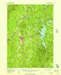 1955 Sunapee1957 Print · USGSSullivan County in the mid-fifties is captured here as a landscape of granite ridges, industrial valleys, and developing lakefronts. Genealogists and historians can locate the Little Red Schoolhouse Museum, the Wayside Chapel, and active rail lines like the Boston and Maine RR.3 unique versions available
 - 1956 Map of Glens Falls, 1968 Print
 1956 Glens Falls1968 Print · USGSUpper New York and the Vermont mountains are captured here in the mid-fifties, showing the rugged rail-and-river network of the Northeast. Researchers can trace the paths of the Delaware and Hudson RR and Rutland RR as they wind through valley towns like Poultney and Whitehall.3 unique versions available
 - 1959 Map of Glens Falls
 1959 Glens Falls1959 Print · USGSUpper New York and Vermont are captured here during the late 1950s, a period of transition for these mountain communities. Researchers can trace the legacy of the region's river-and-rail economy through landmarks like Lake George, Saratoga Springs, and Killington Peak.2 unique versions available
 - 1964 Map of Glens Falls
 1964 Glens Falls1964 Print · USGSThe tri-state borderlands of New York, Vermont, and New Hampshire appear here in the mid-1960s. Researchers can trace the rail routes of the Rutland RR and find historic sites like Ticonderoga and Saratoga National Historical Park.
 - 1984 Map of Enfield Center
 1984 Enfield Center1984 Print · USGSThe Shaker heritage and rural highlands of Grafton County are documented here in the mid-1980s. Genealogists and historians can locate family landmarks like Purmort Cem, the historic Lower Shaker Village, and the site of the Fish Market.2 unique versions available
 - 1984 Map of Sunapee
 1984 Sunapee1984 Print · USGSSullivan County in the 1980s shows a landscape of deep-water lakes and forested ridges. Researchers can trace the waterfront development at Sunapee Harbor, the rural crossroads of Croydon Four Corners, and the old path of the Boston and Maine Railroad.2 unique versions available
 - 1985 Map of Claremont, 1986 Print
 1985 Claremont1986 Print · USGSUpper Valley and Green Mountain life are captured here in the mid-eighties, centered on the river-linked hubs of Claremont and Springfield. Trace old family routes and rail lines like the Boston & Maine RR, or locate properties near Lake Sunapee and Mount Ascutney State Park.2 unique versions available
 - 1985 Map of Rutland, 1988 Print
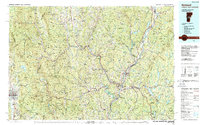 1985 Rutland1988 Print · USGSThe Upper Valley of the mid-1980s comes to life along the winding Connecticut River as it divides the Green Mountain and Granite states. Historians can trace the industrial rail hubs of White River Junction and the paths of the Appalachian Trail and Long Trail.
 - 1998 Map of Sunapee Lake North, 2002 Print
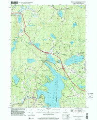 1998 Sunapee Lake North2002 Print · USGSSullivan County lake life and upland forests are on full display in this late-nineties survey. Local researchers can trace family lands near Georges Mills, locate the Eastman Cem, and study the early resort footprints at Soo Nipi Park and Granliden.
 - 1998 Map of North Grantham, 2002 Print
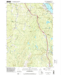 1998 North Grantham2002 Print · USGSSullivan and Grafton Counties in the late nineties show a landscape where historic communal settlements meet modern transportation corridors. Researchers can trace the heritage of Lower Shaker Village, locate the Gleason Cem, or explore the wooded heights of Methodist Hill.
 - 1998 Map of Grantham, 2002 Print
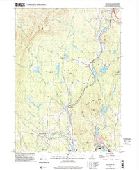 1998 Grantham2002 Print · USGSSullivan County at the close of the twentieth century shows a landscape of river-valley hamlets and timbered ridges. Researchers can trace the Old Railroad Grade through Guild or locate old upland sites near Croydon Four Corners and Ryder Corner.
 - 1998 Map of Enfield Center, 2002 Print
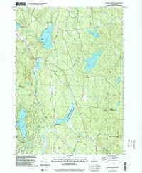 1998 Enfield Center2002 Print · USGSGrafton County's hill country near the Sullivan County line is captured here in the late nineties, showing a landscape of forest reserves and glacial lakes. Genealogists and locals can trace family landmarks and rural crossroads like Washburn Corner, Crystal Lake Dam Lockehaven, and Banks Pinnacle.
 - 2012 Map of Enfield Center, 2012 Print
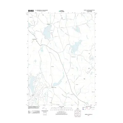 2012 Enfield Center2012 Print · USGSEnfield and the surrounding Grafton County hills are shown here during the early twenty-first century, featuring a landscape of glacial lakes and granite ridges. Genealogists and historians can trace the roads connecting Lockehaven, Washburn Corner, and the shores of Crystal Lake.
 - 2012 Map of North Grantham, 2012 Print
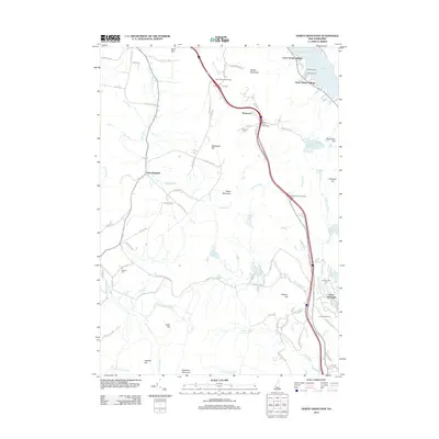 2012 North Grantham2012 Print · USGSUpper and Lower Shaker Villages remain prominent landmarks along Mascoma Lake in this early twenty-first-century survey of Grafton County. Researchers can trace historic family plots at Purmort Cemetery or explore the recreational growth around Eastman Ski Area and North Grantham.
 - 2012 Map of Grantham, 2012 Print
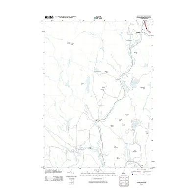 2012 Grantham2012 Print · USGSSullivan County, New Hampshire, is mapped here in the early twenty-first century, showing a landscape defined by mountain peaks and river valleys. Researchers can trace local history through sites like Village Cem, Corbin Bridge, and the rural Sugar Springs Farm.
 - 2012 Map of Sunapee Lake North, 2012 Print
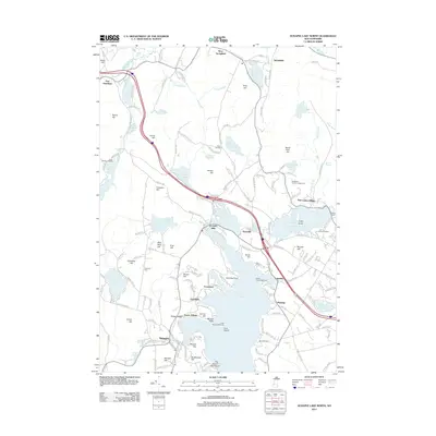 2012 Sunapee Lake North2012 Print · USGSThe northern reaches of Lake Sunapee are captured here in 2012, showing a landscape defined by waterfront settlements and inland hills. You can trace local landmarks like Herrick Cove Lighthouse, the historic Eastman Cem, and community centers such as Georges Mills and Granliden.
 - 2015 Map of Enfield Center, 2015 Print
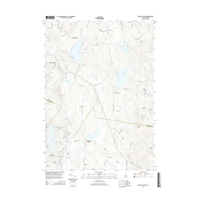 2015 Enfield Center2015 Print · USGSGrafton County's upland terrain and lakeside settlements are captured here in the mid-2010s. Local researchers can trace family lands near Lockehaven, follow the old routes around Washburn Corner, or locate landmarks like Banks Pinnacle and Aaron Ledge.
 - 2015 Map of Grantham, 2015 Print
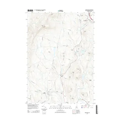 2015 Grantham2015 Print · USGSNew Hampshire's river valleys and rugged peaks define the Sullivan County landscape in the mid-2010s. Researchers can trace the legacy of local travel and settlement through the Abandoned Railroad near Guild and the historic Corbin Bridge near Parlin Field.
 - 2015 Map of North Grantham, 2015 Print
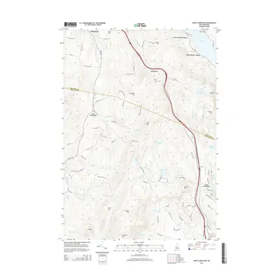 2015 North Grantham2015 Print · USGSThe northern reaches of the Sullivan County borderlands are shown here in the mid-2010s, centered on the unique settlement patterns of the Shaker community. Genealogists and researchers can locate the Shaker Cem, Purmort Cem, and the historic sites of Lower Shaker Village.
Showing maps 1-25 of 38
Top cities near Grantham
- Lebanon historical maps
- Claremont historical maps
- Hanover historical maps
- Hartford historical maps
- Newport historical maps
- Enfield historical maps
See more
Top neighborhoods of Grantham
Frequently asked questions
- What are the different types of historical maps available for Grantham?
- What is the oldest map of Grantham?
- Where can I purchase historical maps of Grantham for my home or office?
- Where can I download high-res historical maps of Grantham?
- Are there historical topographic maps available for Grantham?
- Is there historical aerial imagery available for Grantham?
- Where are historical maps of Grantham sourced from?