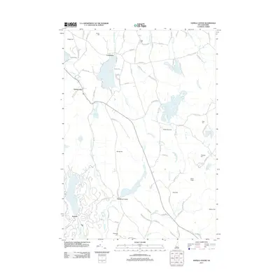
2012 Map of Enfield Center
USGS Topo · Published 2012About this map
Enfield Center serves as the focal point of this rural New Hampshire landscape, where the granite uplands of the Upper Valley meet a series of prominent water bodies. The terrain is defined by significant elevations such as Shaker Hill and George Hill, which overlook a network of glacial lakes including Crystal Lake and the southern reaches of Mascoma Lake. The settlement patterns around Lockehaven and Washburn Corner reflect a traditional New England distribution of homesteads along a winding road network, with routes like Shaker Blvd and Crystal Lake Rd tracing the natural topography.
Find a feature on this map
101 named features on this map. Tap any name to fly to it.
Don’t see what you’re looking for? This feature index may not catch every label — zoom into the map to look around manually.
Map Details
Editions of this 2012 Enfield Center Map
This is the sole edition of this map. No revisions or reprints were ever made.
Other maps of this area

1902 · Sunapee
USGS Topo · 1:62,500

1905 · Sunapee
USGS Topo · 1:62,500

1907 · Sunapee
USGS Topo · 1:62,500

1927 · Cardigan
USGS Topo · 1:62,500

1927 · Mascoma
USGS Topo · 1:62,500

1928 · Mount Kearsarge
USGS Topo · 1:62,500

1930 · Cardigan
USGS Topo · 1:62,500

1931 · Mount Kearsarge
USGS Topo · 1:62,500

1932 · Mascoma
USGS Topo · 1:62,500

1949 · Portland
USGS Topo · 1:250,000