Old Maps of Union, New Jersey for Hiking & Exploration
Hike through history with 49 historic maps of Union. Explore old trails, ghost towns, and forgotten backroads — perfect for outdoor adventurers and local explorers.
- Rediscover forgotten places: Map out old mining camps, roads, and footpaths that no longer exist on modern maps.
- Layer with modern tools: Combine with LiDAR or satellite views to plan hikes through historical terrain.
- Made for exploration: Popular among hikers, overlanders, and local history lovers.
Use these maps to find adventure and explore the hidden past of Union.
Union, NJ maps
(49)- 1890 Map of Easton
 1890 Easton1890 Print · USGSThe Delaware River valley thrived as a transport hub during the 1890s, where three major canals and multiple railroads met at the Pennsylvania-New Jersey border. Genealogists and industrial historians can trace the paths of the Morris Canal, the works at Durham Furnace, and the strategic Musconetcong Tunnel.
 - 1890 Map of High Bridge
 1890 High Bridge1890 Print · USGSHunterdon and Morris counties at the close of the nineteenth century are defined by their complex rail networks and dramatic ridges. Genealogists and historians can trace the early layouts of High Bridge, Clinton, and the settlements surrounding the distinct curve of Cushetunk Mountain.2 unique versions available
 - 1891 Map of Easton
 1891 Easton1891 Print · USGSThe Delaware River valley thrived as a corridor of heavy industry and transit in the 1890s. Trace the path of historic waterways and early rail lines, including the Morris Canal, the ironworks at Durham Furnace, and rural crossroads like Still Valley.8 unique versions available
 - 1898 Map of High Bridge
 1898 High Bridge1898 Print · USGSHunterdon County is mapped in the late nineteenth century as a vital transportation corridor defined by the Cushetunk Mountain range. Genealogists and historians can trace the exact rail routes and rural hamlets of the era, from High Bridge and Glen Gardner to the Lehigh Valley Railroad.2 unique versions available
 - 1900 Map of Raritan
 1900 Raritan1900 Print · USGSNorth Jersey in the late nineteenth century was a complex web of mountain ridges and vital rail corridors. Researchers can trace ancestral routes through old junctions like High Bridge, industrial sites at Mine Hill, and the shores of Lake Hopatcong.
 - 1905 Map of Raritan
 1905 Raritan1905 Print · USGSNorthern New Jersey's ridges and valleys are meticulously detailed here at the turn of the century. You can trace the complex rail networks of the Lehigh Valley R.R. and locate family landmarks from Swayze Mills to the Powder Depot near Picatinny Peak.2 unique versions available
 - 1905 Map of High Bridge
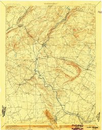 1905 High Bridge1905 Print · USGSHunterdon County at the opening of the twentieth century was a vital junction for New Jersey’s industrial rail lines and river-powered settlements. Researchers can trace the legacy tracks of the Central Railroad of New Jersey and locate early communities like High Bridge, Clinton, and Annandale.4 unique versions available
 - 1932 Map of Easton
 1932 Easton1932 Print · USGSThe Delaware River valley thrived as a corridor of industry and transport in the early 1930s, bridging Pennsylvania and New Jersey. Genealogists and historians can trace the legacy of early industry along the Morris Canal or locate local landmarks like St Josephs Ch and Mine Hill.5 unique versions available
 - 1943 Map of Frenchtown
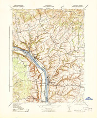 1943 Frenchtown1943 Print · USGSThe Delaware River valley thrived as a rail and industrial corridor in the early 1940s. Genealogists can trace local roots through numerous landmarks like Frenchtown High School, Alexandria Cemetery, and Baptistown School.
 - 1943 Map of High Bridge
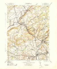 1943 High Bridge1943 Print · USGSWestern New Jersey industrial and institutional corridors are meticulously mapped here during the early war years. Genealogists and historians can trace family locations near the NJ State Hospital or the Grobelis Farm, and identify vanished local landmarks like the Air Raid Station and Asbury Graphite Refinery.
 - 1943 Map of Bethlehem
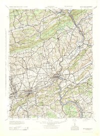 1943 Bethlehem1943 Print · USGSNorthampton and Lehigh counties hummed with industry and river commerce during the early war years. Researchers can trace the path of the Lehigh Valley RR, locate family-named landmarks like Chief Tatamy, and find rural schools such as Mexico School and Poplar Valley Sch.
 - 1943 Map of Bloomsbury
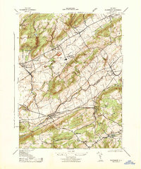 1943 Bloomsbury1943 Print · USGSBloomsbury and the Musconetcong Valley are captured here during the mid-forties, showing a landscape shaped by heavy industry and vital rail corridors. Researchers can trace the massive Edison Portland Cement Co, the path of the Morris Canal, and local landmarks like Kennedy Mills.
 - 1943 Map of Cakepoulin Creek
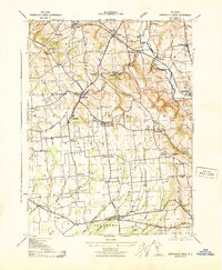 1943 Cakepoulin Creek1943 Print · USGSHunterdon County during the early war years reveals a landscape of established rail corridors and rural hamlets. Local historians can trace family locations near the Lehigh Valley line, the Oakgrove Grange Hall, and country schools like Jutland School.
 - 1944 Map of Newark, 1971 Print
 1944 Newark1971 Print · USGSThe industrial corridor from Philadelphia to New York was in a period of massive transition during the mid-forties. Genealogists and researchers can trace the rail lines of the Lehigh Valley RR, locate military installations like Picatinny Arsenal, and explore the early sprawl near Levittown.5 unique versions available
 - 1949 Map of Newark
 1949 Newark1949 Print · USGSThe industrial corridor between Philadelphia and New York comes alive in this post-war survey. Genealogists and historians can trace the massive rail networks of the Reading Railroad and locate major installations like Fort Dix or Picatinny Arsenal.2 unique versions available
 - 1952 Map of Cakepoulin Creek
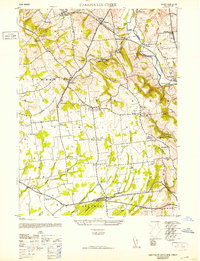 1952 Cakepoulin Creek1952 Print · USGSHunterdon County during the early fifties shows a landscape of small farming hamlets and active rail corridors. Genealogists can trace family roots through landmarks like the Mt Salem Cemetery, Oakgrove Grange Hall, and Jutland School.2 unique versions available
 - 1953 Map of Frenchtown
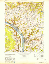 1953 Frenchtown1953 Print · USGSThe Delaware River valley thrived mid-century with active rail lines and riverside industry connecting New Jersey and Pennsylvania communities. Genealogists can trace family roots through several rural schoolhouses and landmarks like Alexandria Cemetery, Lodge Hall, and Milford.
 - 1954 Map of High Bridge, 1957 Print
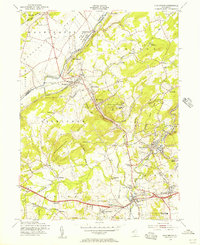 1954 High Bridge1957 Print · USGSMid-century Hunterdon County is captured here as a landscape of industrial river towns and sprawling state institutions. Genealogists and local historians can trace family plots at Evergreen Cem or locate the old Stone Mill near the waters of Lake Solitude.5 unique versions available
 - 1955 Map of Pittstown, 1956 Print
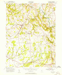 1955 Pittstown1956 Print · USGSHunterdon County is shown in the mid-1950s as a patchwork of productive townships and historic crossroad settlements. Researchers can trace the lineage of local landmarks like Bethlehem Cem, the Lehigh Valley rail line, and vanished tavern sites like Point Tavern.6 unique versions available
 - 1955 Map of Frenchtown, 1956 Print
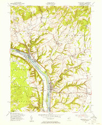 1955 Frenchtown1956 Print · USGSThe Delaware River valley thrived as a corridor for rail and commerce in the mid-1950s, bridging New Jersey and Pennsylvania communities. Researchers can trace family roots through riverside settlements like Frenchtown and Milford, or locate rural landmarks such as Milford Union Ch and Alexandria Cem.5 unique versions available
 - 1955 Map of Bloomsbury, 1956 Print
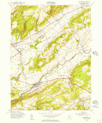 1955 Bloomsbury1956 Print · USGSThe Musconetcong Valley in the mid-1950s reveals a landscape where historic industrial infrastructure meets post-war growth. Genealogists and historians can trace family-named roads and rural hamlets like Stewartsville, Asbury, and the path of the old Morris Canal.4 unique versions available
 - 1956 Map of Newark
 1956 Newark1956 Print · USGSThe industrial heart of the Mid-Atlantic is captured here at the dawn of the highway era, tracing the dense corridors between Newark and Philadelphia. Genealogists and local historians can map the rail networks of the Reading RR or locate mid-century military life at Fort Dix Military Reservation.2 unique versions available
 - 1957 Map of Newark
 1957 Newark1957 Print · USGSThe industrial and military heart of the Mid-Atlantic is mapped during its post-war suburban boom. Genealogists and historians can trace the intricate rail corridors of the Reading Railroad and locate key landmarks from Princeton University to Fort Hancock.
 - 1960 Map of Newark
 1960 Newark1960 Print · USGSThe industrial heart of the Mid-Atlantic is shown at mid-century, stretching from the dense urban centers of Newark and Philadelphia to the Blue Mountain ridges. Researchers can trace historic rail lines, coastal defenses at Fort Hancock, and the riverfront growth of Trenton and Easton.3 unique versions available
 - 1964 Map of Newark
 1964 Newark1964 Print · USGSGreater New Jersey and eastern Pennsylvania appear at the peak of their industrial and rail-centered development in the mid-sixties. Genealogists and historians can trace the paths of the Pennsylvania RR, identify mid-century landmarks like CAMP KILMER, or follow the Schuylkill River through READING.2 unique versions available
Showing maps 1-25 of 49
Top cities near Union
- Hillsborough Township historical maps
- Mount Olive historical maps
- Easton historical maps
- Raritan Township historical maps
- Hopewell Township historical maps
- Readington Township historical maps
See more
Top neighborhoods of Union
- Hensfoot historical maps
- Norton historical maps
- Perryville historical maps
- Pattenburg historical maps
- Mount Salem historical maps
- Van Syckel historical maps
See more
Frequently asked questions
- What are the different types of historical maps available for Union?
- What is the oldest map of Union?
- Where can I purchase historical maps of Union for my home or office?
- Where can I download high-res historical maps of Union?
- Are there historical topographic maps available for Union?
- Is there historical aerial imagery available for Union?
- Where are historical maps of Union sourced from?