Old Maps of Hamilton Township, New Jersey for Genealogy
Trace your family roots with 57 historic maps of Hamilton Township. These high-res maps reveal old neighborhoods, homesites, landmarks, and streets — helping you uncover where your ancestors lived and how the area evolved over time.
- Explore historic neighborhoods: Identify where your relatives may have lived in the 1800s or 1900s.
- Compare maps over time: Trace the changes in streets, buildings, and landmarks for multi-generational research.
- Perfect for genealogy & ancestry research: Used by family historians and researchers to map out lineage and migration.
These maps are an incredible resource for exploring your personal connection to Hamilton Township's past.
Hamilton Township, NJ maps
(57)- 1888 Map of Bordentown
 1888 Bordentown1888 Print · USGSCentral New Jersey in the 1880s was a bustling corridor of river commerce and intersecting rail lines. Genealogists and local historians can trace the early footprints of Bordentown, locate the junctions of the Pennsylvania Railroad, and find rural settlements like Recklesstown and Arneytown.
 - 1888 Map of Princeton
 1888 Princeton1888 Print · USGSCentral New Jersey in the late nineteenth century is defined here by its critical canal and rail corridors connecting thriving agricultural villages. Genealogists and historians can trace family-named sites and early junctions like Grover's Mill, Griggstown, and the rail hub at Monmouth Junction.
 - 1890 Map of Burlington
 1890 Burlington1890 Print · USGSThe Delaware River corridor was a thriving network of canal commerce and rail lines in the late nineteenth century. Genealogists and historians can trace family-named landings and early settlements like Dunks Ferry, Hulmeville, and the State Lunatic Asylum near Trenton.
 - 1893 Map of Bordentown
 1893 Bordentown1893 Print · USGSCentral New Jersey in the late nineteenth century was a bustling corridor of rail lines and established river towns. Genealogists and historians can trace the early footprints of Bordentown, Hamilton Square, and the various branches of the Pennsylvania Railroad.3 unique versions available
 - 1893 Map of Burlington
 1893 Burlington1893 Print · USGSThe Delaware River valley thrived as a corridor of rail and river commerce in the late nineteenth century. Genealogists and historians can trace defunct transport hubs like Dunks Ferry, explore the grounds of the State Lunatic Asylum, and locate old stops along the Philadelphia and Newtown Railroad.3 unique versions available
 - 1894 Map of Princeton
 1894 Princeton1894 Print · USGSCentral New Jersey is captured here in the late nineteenth century as its river-and-canal economy transitioned to a powerhouse of rail travel. Genealogists and historians can trace the early footprints of Princeton, the industrial Delaware and Raritan Canal, and rural stops like Grover Mill.2 unique versions available
 - 1904 Map of Burlington, 1958 Print
 1904 Burlington1958 Print · USGSThe Delaware River corridor thrives during the early twentieth century as a hub of rail, canal, and river commerce. Genealogists and local historians can trace family roots through riverside landings like Borton Landing or follow the legacy of institutions such as the George School and the State Lunatic Asylum.
 - 1906 Map of Burlington
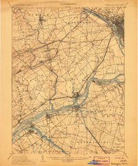 1906 Burlington1906 Print · USGSThe Delaware River corridor was a bustling hub of rail and water transport in the early 1900s. Genealogists and local historians can trace the development of riverside wharves like Andalusia Wharf and institutional landmarks such as the State Lunatic Asylum.6 unique versions available
 - 1906 Map of Bordentown
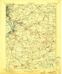 1906 Bordentown1906 Print · USGSThe Delaware River corridor and Burlington County interior are seen here in the early 1900s, showing a landscape shaped by rail and river commerce. Genealogists can trace early homesteads and hamlets near Bordentown, Hamilton Square, and the mills at Walnford.6 unique versions available
 - 1906 Map of Princeton
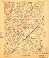 1906 Princeton1906 Print · USGSNew Jersey’s educational and transportation corridors are captured here in the early twentieth century, showing a landscape defined by canals and competing rail lines. Genealogists can trace family roots through settlements like Princeton, Rocky Hill, and Plainsboro.4 unique versions available
 - 1907 Map of Trenton
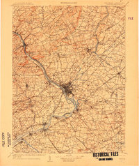 1907 Trenton1907 Print · USGSThe Delaware River valley hums with turn-of-the-century industry and transport as river canals and railroads converge between New Jersey and Pennsylvania. Genealogists and local historians can trace the footprint of the George School, find early post offices like Holland PO, or locate old mill sites such as Blackwells Mills.4 unique versions available
 - 1918 Map of Camp Dix
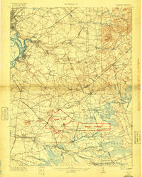 1918 Camp Dix1918 Print · USGSNew Jersey at the height of the Great War features the sprawling mobilization grounds of Camp Dix and its expansive Rifle Range. Genealogists and historians can trace defunct stops like Imlaystown Sta or locate family roots near New Egypt and Colliers Mill.2 unique versions available
 - 1942 Map of Burlington
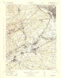 1942 Burlington1942 Print · USGSThe Delaware River valley thrived at the start of the 1940s as a hub of heavy rail and river commerce. Genealogists and local historians can trace family-named sites and old transit points like Dunks Ferry, Borton Landing, and Neshaminy Falls.
 - 1944 Map of Trenton West, 1950 Print
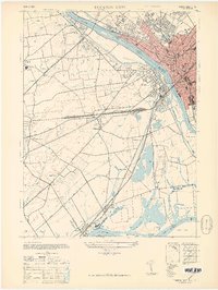 1944 Trenton West1950 Print · USGSThe Delaware River corridor near Trenton and Morrisville is captured here at the height of its mid-century rail and industrial era. Genealogists and historians can trace old property boundaries and landmarks from Fallsington to the landmark Wm Trent House 1719.
 - 1944 Map of Newark, 1971 Print
 1944 Newark1971 Print · USGSThe industrial corridor from Philadelphia to New York was in a period of massive transition during the mid-forties. Genealogists and researchers can trace the rail lines of the Lehigh Valley RR, locate military installations like Picatinny Arsenal, and explore the early sprawl near Levittown.5 unique versions available
 - 1946 Map of Princeton, 1952 Print
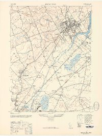 1946 Princeton1952 Print · USGSCentral New Jersey at the start of the post-war era reveals a landscape defined by its prestigious institutions and expanding rail corridors. Genealogists can locate family landmarks like Rosedale Chapel or trace the early grounds of the Lawrenceville School.
 - 1947 Map of Trenton West
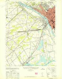 1947 Trenton West1947 Print · USGSThe Delaware River corridor near Trenton and Morrisville was a hive of rail and river activity just after the war. Genealogists and local historians can trace the foundations of Fallsington, locate the Wm Trent House 1719, and follow the Reading Company line through Woodside.
 - 1947 Map of Trenton East
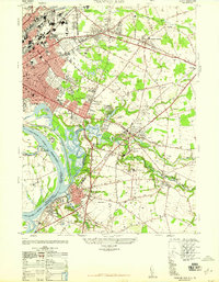 1947 Trenton East1947 Print · USGSMercer County and the Delaware River waterfront are captured here just after the war as industrial hubs and suburban neighborhoods began to expand. Genealogists and historians can trace the foundations of Warner Village, locate the Bordentown Cemetery, or find the Pennsylvania Maritime Academy along the riverbank.
 - 1948 Map of Allentown
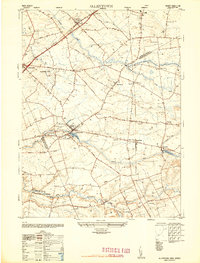 1948 Allentown1948 Print · USGSMonmouth and Mercer counties meet here in the late 1940s, showing a landscape of established townships and crossroad settlements. Genealogists and local historians can trace family-named sites like Walnford, Nelsonville, and the East Windsor Cemetery.2 unique versions available
 - 1948 Map of Trenton East, 1949 Print
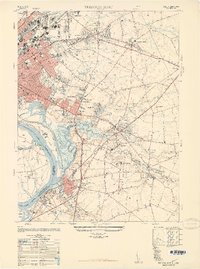 1948 Trenton East1949 Print · USGSMercer County and its surroundings are documented here in the late 1940s as suburban expansion began to reshape the landscape. Local historians can trace the development of Warner Village and Hamilton Square or locate landmarks like the Pennsylvania Maritime Academy and Bordentown Cemetery.
 - 1948 Map of Bordentown, 1954 Print
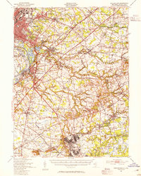 1948 Bordentown1954 Print · USGSCentral New Jersey stands at the crossroads of military expansion and early highway development in the years following the war. Genealogists and historians can trace the rural layouts of Bordentown and New Egypt or locate landmarks like Arneys Mount and the Pa Maritime Academy.2 unique versions available
 - 1949 Map of Newark
 1949 Newark1949 Print · USGSThe industrial corridor between Philadelphia and New York comes alive in this post-war survey. Genealogists and historians can trace the massive rail networks of the Reading Railroad and locate major installations like Fort Dix or Picatinny Arsenal.2 unique versions available
 - 1952 Map of Princeton
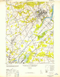 1952 Princeton1952 Print · USGSMid-century Central New Jersey shows a landscape shaped by academic institutions and the early growth of suburban hamlets. Genealogists and historians can trace Princeton University and the Lawrenceville School, or locate vanished industries like Maddocks Pottery Co.
 - 1954 Map of Princeton, 1956 Print
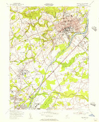 1954 Princeton1956 Print · USGSMid-century Princeton and Lawrenceville are captured here during a period of prestigious academic growth and steady infrastructure development. Genealogists and researchers can locate family-named landmarks and institutions like the Theological Seminary, Stony Brook Ch, and the Lawrenceville Cem.4 unique versions available
 - 1955 Map of Trenton West, 1957 Print
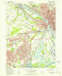 1955 Trenton West1957 Print · USGSThe Delaware Valley transformed during the mid-fifties as planned communities like Levittown and Fairless Hills rose beside the river. Researchers can trace early suburban development through family-centric neighborhoods like Oaktree Hollow and landmarks like Rider College or the 3 M Airport.5 unique versions available
Showing maps 1-25 of 57
Top cities near Hamilton Township
- Trenton historical maps
- Franklin Township historical maps
- Jackson Township historical maps
- Levittown historical maps
- Monroe Township historical maps
- East Brunswick Township historical maps
See more
Top neighborhoods of Hamilton Township
- Nottingham historical maps
- The Orchards historical maps
- Edgebrook historical maps
- Golden Crest historical maps
- Warner Village historical maps
- Haines Corner historical maps
See more
Frequently asked questions
- What are the different types of historical maps available for Hamilton Township?
- What is the oldest map of Hamilton Township?
- Where can I purchase historical maps of Hamilton Township for my home or office?
- Where can I download high-res historical maps of Hamilton Township?
- Are there historical topographic maps available for Hamilton Township?
- Is there historical aerial imagery available for Hamilton Township?
- Where are historical maps of Hamilton Township sourced from?