2000s (21st Century) Maps of Hopewell Township, New Jersey
Explore 25 historic maps of Hopewell Township from the 2000s (21st Century). These maps offer a rare glimpse into what life looked like during the 2000s — showing old roads, neighborhoods, homes, and landmarks that have changed or disappeared over time.
Whether you're researching your family's past, planning a metal detecting trip, or studying how Hopewell Township's landscape evolved across the 2000s, these high-resolution maps are a powerful tool for exploring the history of this region.
- Focus on a specific era: All maps on this page are from the 2000s, giving you a focused view of this time period.
- See what’s changed: Compare century-old streets, trails, and buildings to today's modern landscape using overlays and satellite layers.
- Research with precision: Use these maps for genealogy, historical research, land use analysis, or educational projects.
- View, download, or print: Maps are fully viewable online in high resolution, and can be downloaded or printed for your own records.
Start exploring Hopewell Township's history through authentic maps from the 2000s. This is your window into the past.
Hopewell Township, NJ maps
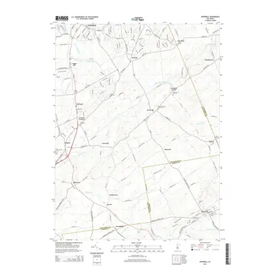
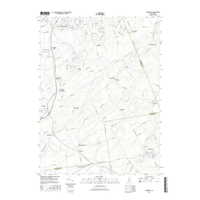
(25)- 2011 Map of Hopewell, 2011 Print
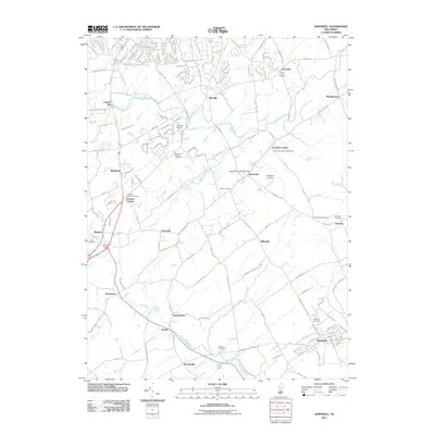 2011 Hopewell2011 Print · USGSCovers Hopewell Township, including Hillsborough Township, Raritan Township, and other nearby areas
 - 2011 Map of Rocky Hill, 2011 Print
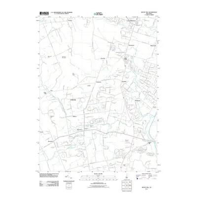 2011 Rocky Hill2011 Print · USGSCovers Hopewell Township, including Franklin Township, Hillsborough Township, and other nearby areas
 - 2011 Map of Princeton, 2011 Print
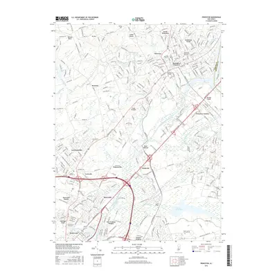
 2011 Princeton2011 Print · USGSCovers Hopewell Township, including Hamilton Township, Ewing Township, and other nearby areas
 - 2011 Map of Pennington, 2011 Print
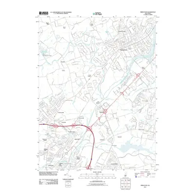
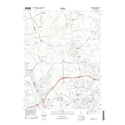
 2011 Pennington2011 Print · USGSCovers Hopewell Township, including Ewing Township, Lawrence Township, and other nearby areas
 - 2011 Map of Lambertville, 2011 Print
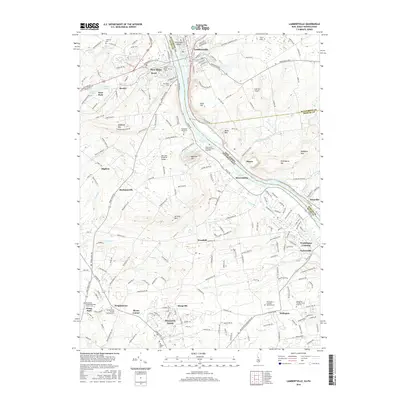
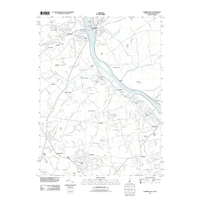 2011 Lambertville2011 Print · USGSCovers Hopewell Township, including Lower Makefield Township, Buckingham Township, and other nearby areas
 - 2014 Map of Lambertville, 2014 Print
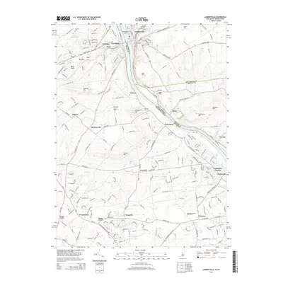 2014 Lambertville2014 Print · USGSCovers Hopewell Township, including Lower Makefield Township, Buckingham Township, and other nearby areas
 - 2014 Map of Princeton, 2014 Print
 2014 Princeton2014 Print · USGSCovers Hopewell Township, including Hamilton Township, Ewing Township, and other nearby areas
 - 2014 Map of Rocky Hill, 2014 Print
 2014 Rocky Hill2014 Print · USGSCovers Hopewell Township, including Franklin Township, Hillsborough Township, and other nearby areas
 - 2014 Map of Hopewell, 2014 Print
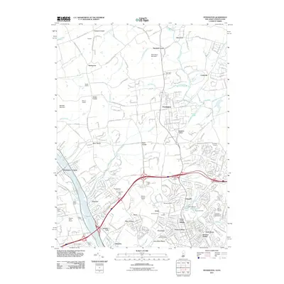
 2014 Hopewell2014 Print · USGSCovers Hopewell Township, including Hillsborough Township, Raritan Township, and other nearby areas
 - 2014 Map of Pennington, 2014 Print
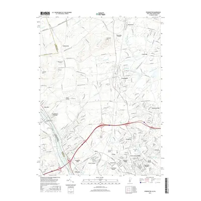
 2014 Pennington2014 Print · USGSCovers Hopewell Township, including Ewing Township, Lawrence Township, and other nearby areas
 - 2016 Map of Princeton, 2016 Print
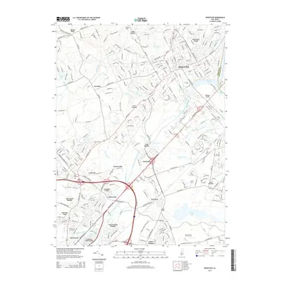
 2016 Princeton2016 Print · USGSCovers Hopewell Township, including Hamilton Township, Ewing Township, and other nearby areas
 - 2016 Map of Pennington, 2016 Print
 2016 Pennington2016 Print · USGSCovers Hopewell Township, including Ewing Township, Lawrence Township, and other nearby areas
 - 2016 Map of Hopewell, 2016 Print
 2016 Hopewell2016 Print · USGSCovers Hopewell Township, including Hillsborough Township, Raritan Township, and other nearby areas
 - 2016 Map of Rocky Hill, 2016 Print
 2016 Rocky Hill2016 Print · USGSCovers Hopewell Township, including Franklin Township, Hillsborough Township, and other nearby areas
 - 2016 Map of Lambertville, 2016 Print
 2016 Lambertville2016 Print · USGSCovers Hopewell Township, including Lower Makefield Township, Buckingham Township, and other nearby areas
 - 2019 Map of Pennington, 2019 Print
 2019 Pennington2019 Print · USGSCovers Hopewell Township, including Ewing Township, Lawrence Township, and other nearby areas
 - 2019 Map of Rocky Hill, 2019 Print
 2019 Rocky Hill2019 Print · USGSCovers Hopewell Township, including Franklin Township, Hillsborough Township, and other nearby areas
 - 2019 Map of Lambertville, 2019 Print
 2019 Lambertville2019 Print · USGSCovers Hopewell Township, including Lower Makefield Township, Buckingham Township, and other nearby areas
 - 2019 Map of Princeton, 2019 Print
 2019 Princeton2019 Print · USGSCovers Hopewell Township, including Hamilton Township, Ewing Township, and other nearby areas
 - 2019 Map of Hopewell, 2019 Print
 2019 Hopewell2019 Print · USGSCovers Hopewell Township, including Hillsborough Township, Raritan Township, and other nearby areas
 - 2023 Map of Hopewell, 2023 Print
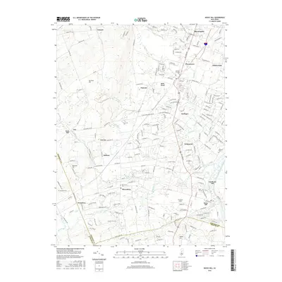
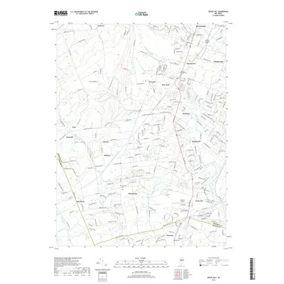
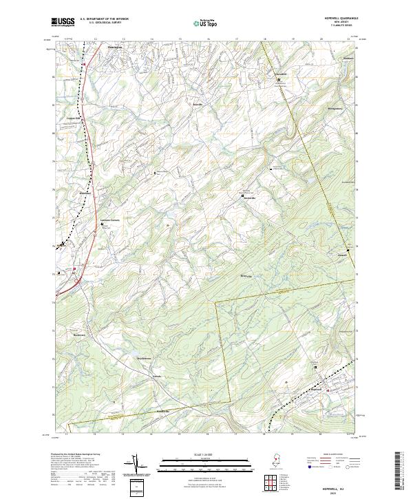 2023 Hopewell2023 Print · USGSThe crossroads and hamlets of Hunterdon and Mercer counties are documented here in detail. Genealogists can trace family names and local history through sites like Amwell Ridge Cem, Reaville, and the Union Cem of Wertsville.
 - 2023 Map of Pennington, 2023 Print
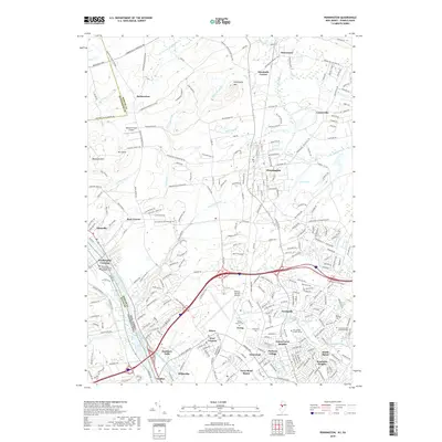
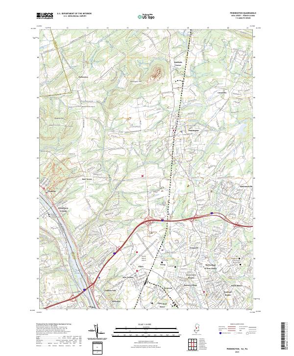 2023 Pennington2023 Print · USGSMercer County’s historic riverfront and suburban corridors are mapped here in the early twenty-first century. Researchers can trace the Delaware and Raritan Canal or locate local landmarks like The College of New Jersey, Ewing Church Cem, and Scudders Falls.
 - 2023 Map of Lambertville, 2023 Print
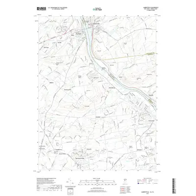
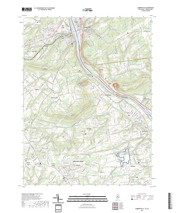 2023 Lambertville2023 Print · USGSLambertville and New Hope anchor this river valley landscape at the New Jersey-Pennsylvania border. Genealogists and historians can trace numerous family sites from the Solebury Friends Graveyard to the Washington Crossing National Cem.
 - 2023 Map of Rocky Hill, 2023 Print
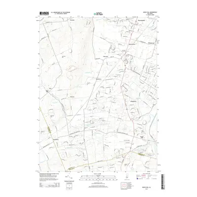
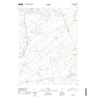
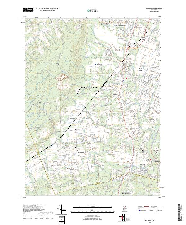 2023 Rocky Hill2023 Print · USGSThe transition from the slopes of Sourland Mtn to the Millstone River valley is captured here in the contemporary era. Researchers can trace historic burial sites like Unionville Cem and Stoutsburg Cem alongside landmarks like Princeton Airport.
 - 2023 Map of Princeton, 2023 Print
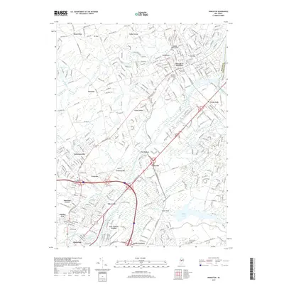
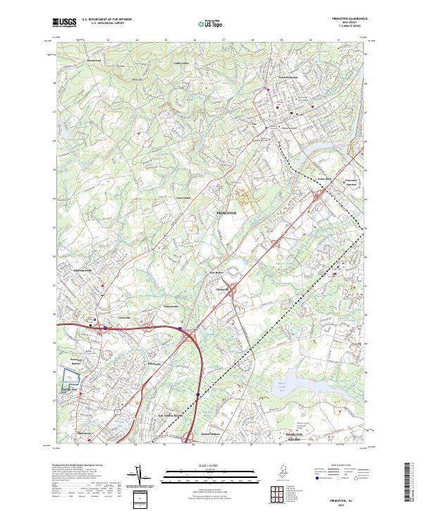 2023 Princeton2023 Print · USGSModern-day Princeton and its neighboring townships retain a dense layout of prestigious universities and colonial-era routes. Genealogists and historians can trace the grounds of Princeton University, find family records at Princeton Cem, or follow the path of the historic Delaware and Raritan Canal.
End of results
Showing maps 1-25 of 25
Top cities near Hopewell Township
- Philadelphia historical maps
- Hamilton Township historical maps
- Trenton historical maps
- Franklin Township historical maps
- Bensalem Township historical maps
- Levittown historical maps
See more
Top neighborhoods of Hopewell Township
- Bear Tavern historical maps
- Coopers Corner historical maps
- Harts Corner historical maps
- Ackers Corner historical maps
- Baldwins Corner historical maps
- Mount Rose historical maps
See more
Frequently asked questions
- What are the different types of historical maps available for Hopewell Township?
- What is the oldest map of Hopewell Township?
- Where can I purchase historical maps of Hopewell Township for my home or office?
- Where can I download high-res historical maps of Hopewell Township?
- Are there historical topographic maps available for Hopewell Township?
- Is there historical aerial imagery available for Hopewell Township?
- Where are historical maps of Hopewell Township sourced from?