Old Maps of Princeton, New Jersey for Hiking & Exploration
Hike through history with 44 historic maps of Princeton. Explore old trails, ghost towns, and forgotten backroads — perfect for outdoor adventurers and local explorers.
- Rediscover forgotten places: Map out old mining camps, roads, and footpaths that no longer exist on modern maps.
- Layer with modern tools: Combine with LiDAR or satellite views to plan hikes through historical terrain.
- Made for exploration: Popular among hikers, overlanders, and local history lovers.
Use these maps to find adventure and explore the hidden past of Princeton.
Princeton, NJ maps
(44)- 1888 Map of Princeton
 1888 Princeton1888 Print · USGSCentral New Jersey in the late nineteenth century is defined here by its critical canal and rail corridors connecting thriving agricultural villages. Genealogists and historians can trace family-named sites and early junctions like Grover's Mill, Griggstown, and the rail hub at Monmouth Junction.
 - 1894 Map of Princeton
 1894 Princeton1894 Print · USGSCentral New Jersey is captured here in the late nineteenth century as its river-and-canal economy transitioned to a powerhouse of rail travel. Genealogists and historians can trace the early footprints of Princeton, the industrial Delaware and Raritan Canal, and rural stops like Grover Mill.2 unique versions available
 - 1906 Map of Princeton
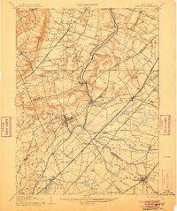 1906 Princeton1906 Print · USGSNew Jersey’s educational and transportation corridors are captured here in the early twentieth century, showing a landscape defined by canals and competing rail lines. Genealogists can trace family roots through settlements like Princeton, Rocky Hill, and Plainsboro.4 unique versions available
 - 1907 Map of Trenton
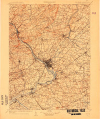 1907 Trenton1907 Print · USGSThe Delaware River valley hums with turn-of-the-century industry and transport as river canals and railroads converge between New Jersey and Pennsylvania. Genealogists and local historians can trace the footprint of the George School, find early post offices like Holland PO, or locate old mill sites such as Blackwells Mills.4 unique versions available
 - 1942 Map of Hightstown
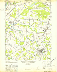 1942 Hightstown1942 Print · USGSCentral New Jersey during the early years of the war displays a unique blend of scholarly institutions and agricultural hamlets. Researchers can trace the development of Hightstown and Plainsboro, or locate sites like Grovers Mills and the Peddie Prep Sch.
 - 1943 Map of Rocky Hill
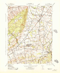 1943 Rocky Hill1943 Print · USGSSomerset County is captured here in the early 1940s, balancing its deep-rooted farming heritage with significant wartime and state institutions. Genealogists and historians can trace family-named sites across the Sourland Mountain Hills and locate the sprawling State Village for Epileptics or the War Aid Depot.
 - 1944 Map of Newark, 1971 Print
 1944 Newark1971 Print · USGSThe industrial corridor from Philadelphia to New York was in a period of massive transition during the mid-forties. Genealogists and researchers can trace the rail lines of the Lehigh Valley RR, locate military installations like Picatinny Arsenal, and explore the early sprawl near Levittown.5 unique versions available
 - 1946 Map of Princeton, 1952 Print
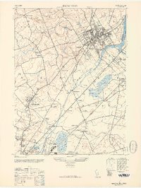 1946 Princeton1952 Print · USGSCentral New Jersey at the start of the post-war era reveals a landscape defined by its prestigious institutions and expanding rail corridors. Genealogists can locate family landmarks like Rosedale Chapel or trace the early grounds of the Lawrenceville School.
 - 1947 Map of Monmouth Junction
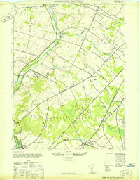 1947 Monmouth Junction1947 Print · USGSCentral New Jersey in the late 1940s reveals a landscape of river-side canal towns and bustling rail hubs. Genealogists and local historians can trace the branching lines at Monmouth Junction and locate Washingtons Headquarters near Kingston.
 - 1949 Map of Newark
 1949 Newark1949 Print · USGSThe industrial corridor between Philadelphia and New York comes alive in this post-war survey. Genealogists and historians can trace the massive rail networks of the Reading Railroad and locate major installations like Fort Dix or Picatinny Arsenal.2 unique versions available
 - 1952 Map of Princeton
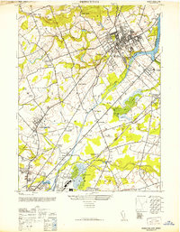 1952 Princeton1952 Print · USGSMid-century Central New Jersey shows a landscape shaped by academic institutions and the early growth of suburban hamlets. Genealogists and historians can trace Princeton University and the Lawrenceville School, or locate vanished industries like Maddocks Pottery Co.
 - 1954 Map of Princeton, 1956 Print
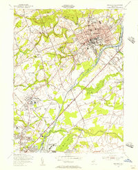 1954 Princeton1956 Print · USGSMid-century Princeton and Lawrenceville are captured here during a period of prestigious academic growth and steady infrastructure development. Genealogists and researchers can locate family-named landmarks and institutions like the Theological Seminary, Stony Brook Ch, and the Lawrenceville Cem.4 unique versions available
 - 1954 Map of Hightstown, 1956 Print
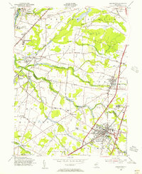 1954 Hightstown1956 Print · USGSIn the mid-1950s, the area between Princeton and HIGHTSTOWN remained a patchwork of small settlements and institutional campuses. Researchers can trace the layout of early communities at Grovers Mills and Princeton Junction or find local landmarks like Peddie Prep Sch and Mt Zion Ch.5 unique versions available
 - 1954 Map of Monmouth Junction, 1956 Print
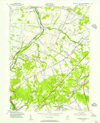 1954 Monmouth Junction1956 Print · USGSCentral New Jersey in the mid-fifties reveals a landscape shaped by the Delaware and Raritan Canal and the Pennsylvania Railroad. Researchers can trace the legacy of the Revolution at Washington Headquarters or locate family plots in Cedar Hill Cem and Elmwood Cem.6 unique versions available
 - 1954 Map of Rocky Hill, 1956 Print
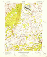 1954 Rocky Hill1956 Print · USGSMid-century Somerset County remains largely rural, dominated by large institutional estates and the rising ridge of Sourland Mountain. Genealogists can trace family names through the Harlingen Reform Cem or locate the sprawling New Jersey Neuropsychiatric Institute and Princeton Airfield.4 unique versions available
 - 1956 Map of Newark
 1956 Newark1956 Print · USGSThe industrial heart of the Mid-Atlantic is captured here at the dawn of the highway era, tracing the dense corridors between Newark and Philadelphia. Genealogists and local historians can map the rail networks of the Reading RR or locate mid-century military life at Fort Dix Military Reservation.2 unique versions available
 - 1957 Map of Newark
 1957 Newark1957 Print · USGSThe industrial and military heart of the Mid-Atlantic is mapped during its post-war suburban boom. Genealogists and historians can trace the intricate rail corridors of the Reading Railroad and locate key landmarks from Princeton University to Fort Hancock.
 - 1960 Map of Newark
 1960 Newark1960 Print · USGSThe industrial heart of the Mid-Atlantic is shown at mid-century, stretching from the dense urban centers of Newark and Philadelphia to the Blue Mountain ridges. Researchers can trace historic rail lines, coastal defenses at Fort Hancock, and the riverfront growth of Trenton and Easton.3 unique versions available
 - 1964 Map of Newark
 1964 Newark1964 Print · USGSGreater New Jersey and eastern Pennsylvania appear at the peak of their industrial and rail-centered development in the mid-sixties. Genealogists and historians can trace the paths of the Pennsylvania RR, identify mid-century landmarks like CAMP KILMER, or follow the Schuylkill River through READING.2 unique versions available
 - 1982 Map of Trenton, 1983 Print
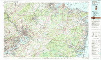 1982 Trenton1983 Print · USGSCentral New Jersey and the Delaware River valley are captured in the early eighties during a time of major highway expansion and suburban maturation. Researchers can trace the grounds of Princeton University, the historic Monmouth Battlefield, and the sprawling Fort Dix.
 - 1986 Map of Trenton, 1987 Print
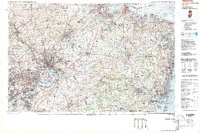 1986 Trenton1987 Print · USGSCentral New Jersey and the Delaware River valley are shown here during the mid-eighties, a period of dense suburban growth and military activity. Researchers can trace the sprawling grounds of the Fort Dix Military Reservation and the historic corridors of the Delaware & Raritan Canal State Park.
 - 1995 Map of Hightstown, 2000 Print
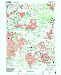 1995 Hightstown2000 Print · USGSIn the mid-nineties, this part of Central Jersey reflects a period of intense suburban growth along the New Jersey Turnpike. Genealogists and historians can trace the development of local institutions from Peddie Sch to historic crossroads like Grovers Mill and Dutch Neck.
 - 1995 Map of Princeton, 2000 Print
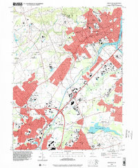 1995 Princeton2000 Print · USGSMid-century academic life and suburban growth converge in this mid-1990s look at the Mercer County corridor. Local historians can trace the legacy of educational landmarks like Princeton University or explore the canal-side history of Port Mercer and Penns Neck.
 - 1995 Map of Rocky Hill, 2000 Print
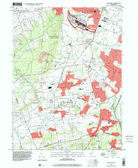 1995 Rocky Hill2000 Print · USGSSomerset and Mercer Counties are captured in the mid-nineties, showing a transition between rural preservation and significant institutional development. Researchers can trace the layout of the GSA Belle Meade Depot, the North Princeton Developmental Center, and the historic D & R Canal State Park corridor.
 - 2011 Map of Monmouth Junction, 2011 Print
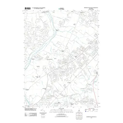 2011 Monmouth Junction2011 Print · USGSFranklin Township in the early twenty-first century shows a complex landscape of suburban growth and well-preserved historical infrastructure. Genealogists and local historians can trace family roots through sites like the Ten Mile Run Cemetery or explore the corridor along the Delaware and Raritan Canal near Blackwells Mills.
Showing maps 1-25 of 44
Top cities near Princeton
- Hamilton Township historical maps
- Trenton historical maps
- Franklin Township historical maps
- Jackson Township historical maps
- Levittown historical maps
- Piscataway Township historical maps
See more
Top neighborhoods of Princeton
- Coxs Corner historical maps
- Cedar Grove historical maps
- Edgerstoune historical maps
- Pretty Brook Area historical maps
- Town & Country historical maps
- Witherspoon-Jackson historical maps
See more
Frequently asked questions
- What are the different types of historical maps available for Princeton?
- What is the oldest map of Princeton?
- Where can I purchase historical maps of Princeton for my home or office?
- Where can I download high-res historical maps of Princeton?
- Are there historical topographic maps available for Princeton?
- Is there historical aerial imagery available for Princeton?
- Where are historical maps of Princeton sourced from?