1900s (20th Century) Maps of Monmouth County, New Jersey
Explore 95 historic maps of Monmouth County from the 1900s (20th Century). These maps offer a rare glimpse into what life looked like during the 1900s — showing old roads, neighborhoods, homes, and landmarks that have changed or disappeared over time.
Whether you're researching your family's past, planning a metal detecting trip, or studying how Monmouth County's landscape evolved across the 1900s, these high-resolution maps are a powerful tool for exploring the history of this region.
- Focus on a specific era: All maps on this page are from the 1900s, giving you a focused view of this time period.
- See what’s changed: Compare century-old streets, trails, and buildings to today's modern landscape using overlays and satellite layers.
- Research with precision: Use these maps for genealogy, historical research, land use analysis, or educational projects.
- View, download, or print: Maps are fully viewable online in high resolution, and can be downloaded or printed for your own records.
Start exploring Monmouth County's history through authentic maps from the 1900s. This is your window into the past.
Monmouth County, NJ maps
(95)- 1900 Map of Passaic
 1900 Passaic1900 Print · USGSNorthern New Jersey and the New York Harbor are captured here at the close of the nineteenth century, showing a landscape defined by rail, river, and coastal defense. Researchers can trace the original path of the Morris Canal, locate Seton Hall College, and explore the batteries at Fort Wadsworth.
 - 1900 Map of Staten Island
 1900 Staten Island1900 Print · USGSThe New York and New Jersey harbor comes alive in the late Victorian era, showing Staten Island when small villages and defensive forts still defined the coastline. Trace family roots and vanished landmarks through Fort Wadsworth, the Morris Canal, and historic settlements like Rossville or Tottenville.10 unique versions available
 - 1900 Map of Cassville
 1900 Cassville1900 Print · USGSMonmouth and Ocean Counties appear at the turn of the century, showing a landscape defined by water-powered milling and early rail transport. Genealogists can trace family names at Lahaway Plantations, Carrs Tavern, and through the many mills including Colliers Mill.3 unique versions available
 - 1900 Map of Brooklyn
 1900 Brooklyn1900 Print · USGSBrooklyn and Queens are shown here at the turn of the century as the urban grid begins to overtake rural villages and coastal marshes. Genealogists can locate family plots in Greenwood Cemetery or Evergreen Cemetery and trace early transit routes like the Electric R.R. and Kings Highway.11 unique versions available
 - 1901 Map of New Brunswick
 1901 New Brunswick1901 Print · USGSMiddlesex and Monmouth counties are depicted here at the height of the railroad era, as industrial centers like New Brunswick grew alongside rural farmlands. Genealogists and historians can trace family-named landmarks and old hamlets from Old Church and Matchaponix to the site of the Monmouth Battle Ground.5 unique versions available
 - 1901 Map of Sandy Hook
 1901 Sandy Hook1901 Print · USGSThe Jersey Shore and Raritan Bay come to life in this late Victorian-era survey of the Monmouth County coast. Trace the early rail lines at Port Monmouth Sta or locate family landmarks like Stone Church and Telegraph Hill.6 unique versions available
 - 1901 Map of Asbury Park
 1901 Asbury Park1901 Print · USGSThe Jersey Shore at the turn of the century reveals a landscape of growing coastal resorts and busy railroad junctions. Genealogists can trace family roots in old hamlets like Allaire, Seven Stars, and Farmingdale as they appeared before suburbanization.5 unique versions available
 - 1902 Map of Navesink
 1902 Navesink1902 Print · USGSCoastal New Jersey and the Raritan valley are shown here at the turn of the century, when industrial hubs and maritime defenses defined the shoreline. Genealogists can trace family roots through settlements like Old Bridge and Milltown, or locate local landmarks like the State Reform School.3 unique versions available
 - 1905 Map of Passaic
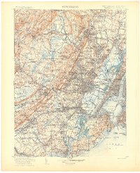 1905 Passaic1905 Print · USGSNorthern New Jersey and Staten Island appear here at a pivotal moment of early 20th-century growth and industrialization. Researchers can trace the development of transit hubs like Convent Sta. or locate legacy landmarks including Hillside Cemetery and the Moravian Cemetery.4 unique versions available
 - 1906 Map of Bordentown
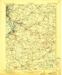 1906 Bordentown1906 Print · USGSThe Delaware River corridor and Burlington County interior are seen here in the early 1900s, showing a landscape shaped by rail and river commerce. Genealogists can trace early homesteads and hamlets near Bordentown, Hamilton Square, and the mills at Walnford.6 unique versions available
 - 1907 Map of Trenton
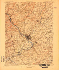 1907 Trenton1907 Print · USGSThe Delaware River valley hums with turn-of-the-century industry and transport as river canals and railroads converge between New Jersey and Pennsylvania. Genealogists and local historians can trace the footprint of the George School, find early post offices like Holland PO, or locate old mill sites such as Blackwells Mills.4 unique versions available
 - 1918 Map of Camp Dix
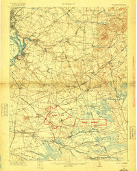 1918 Camp Dix1918 Print · USGSNew Jersey at the height of the Great War features the sprawling mobilization grounds of Camp Dix and its expansive Rifle Range. Genealogists and historians can trace defunct stops like Imlaystown Sta or locate family roots near New Egypt and Colliers Mill.2 unique versions available
 - 1918 Map of Sandy Hook, 1921 Print
 1918 Sandy Hook1921 Print · USGSMonmouth County's coastline and interior settlements are captured during the final months of the First World War. Genealogists and historians can trace the early rail network through Little Silver Sta or locate old landmarks like Stone Church and Fort Hancock.
 - 1919 Map of New Brunswick, 1921 Print
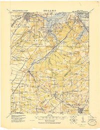 1919 New Brunswick1921 Print · USGSMiddlesex and Monmouth counties are depicted here in the years following the Great War, when rail lines and river commerce still drove the region’s growth. Researchers can trace the sprawling Pennsylvania Railroad network through industrial hubs like Jamesburg or visit the hallowed Monmouth Battle Ground.
 - 1919 Map of Asbury Park, 1921 Print
 1919 Asbury Park1921 Print · USGSCoastal Monmouth and Ocean Counties come alive in the early twentieth century, showing the rapid growth of beach resorts alongside quiet pineland settlements. Researchers can trace the early rail corridors of the Pennsylvania Railroad and locate maritime landmarks like L.S. Station Manasquan Beach and Point Pleasant.
 - 1940 Map of South Amboy
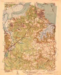 1940 South Amboy1940 Print · USGSCoastal Middlesex County at the dawn of the 1940s reveals a landscape of heavy rail, maritime commerce, and emerging state parks. Local historians can trace the paths of the Raritan River RR, find the Polish Cem, or locate the Great Beds LH off the shore.2 unique versions available
 - 1941 Map of South Amboy
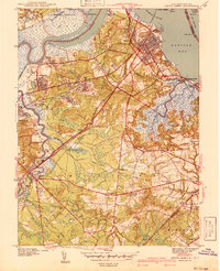 1941 South Amboy1941 Print · USGSCoastal Middlesex County comes alive in this pre-war survey, showing the busy maritime and rail corridors between the Raritan River and the bay. Researchers can trace the layout of South Amboy, locate the Polish Cem, and find the U S Military Reservation.2 unique versions available
 - 1942 Map of Jamesburg
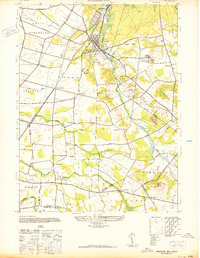 1942 Jamesburg1942 Print · USGSCentral New Jersey during the early 1940s reveals a network of rail-dependent boroughs and rural townships. Genealogists and historians can trace family locations near Old Church, identify the grounds of the Jamesburg State Reformatory, and locate vanished points like Bergen Mills.
 - 1942 Map of Passaic
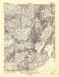 1942 Passaic1942 Print · USGSNorthern New Jersey and New York harbor appear in detail at the start of the war, showing a landscape of burgeoning suburbs and vital industry. Trace family roots and local history across the Passaic River valley, from Paterson to the Watchung Mountains.
 - 1942 Map of Farmingdale
 1942 Farmingdale1942 Print · USGSMonmouth County and the northern edge of Ocean County are shown here in the early 1940s during a period of industrial rail reliance. Trace the rail junctions at Farmingdale or locate historic settlements like Allaire, Squankum, and Jerseyville.
 - 1943 Map of South Amboy
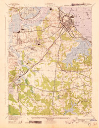 1943 South Amboy1943 Print · USGSThe industrial corridor of the Raritan valley thrives in the 1940s, balancing wartime military installations with a massive brick and clay industry. Researchers can trace the sprawling Raritan Arsenal, family farms like the J R Cotrell Farm, and local landmarks like the Beth Israel Cem.
 - 1944 Map of Jersey Homesteads
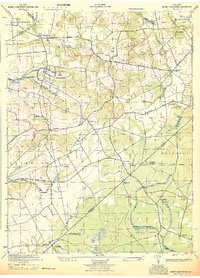 1944 Jersey Homesteads1944 Print · USGSMonmouth and Ocean counties appear here during the mid-forties, capturing a landscape of rural hamlets and small mills. Researchers can trace the New Deal-era Jersey Homesteads and find ancestral sites like Francis Mills, Carrs Tavern, and Perrineville.
 - 1944 Map of Newark, 1971 Print
 1944 Newark1971 Print · USGSThe industrial corridor from Philadelphia to New York was in a period of massive transition during the mid-forties. Genealogists and researchers can trace the rail lines of the Lehigh Valley RR, locate military installations like Picatinny Arsenal, and explore the early sprawl near Levittown.5 unique versions available
 - 1947 Map of Lakewood
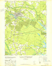 1947 Lakewood1947 Print · USGSCoastal Ocean County in the late 1940s shows a mix of growing townships and pine-lined waterways just as the regional highway system expanded. Genealogists and historians can trace old residential grids in Lakewood, locate family plots at Evergreen Cem, or follow the Central Railroad of New Jersey.
 - 1947 Map of Keyport
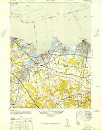 1947 Keyport1947 Print · USGSMonmouth County's bay shore and its post-war industrial landscape are captured here just as the rail-driven economy reached its peak. Researchers can trace family roots through the Green Grove Cemetery or locate old industry at the Craigen Brick Co and Keyport Rubber Factory.
Showing maps 1-25 of 95
Top cities of Monmouth County
- Middletown Township historical maps
- Howell Township historical maps
- Marlboro Township historical maps
- Manalapan Township historical maps
- Freehold Township historical maps
- Long Branch historical maps
See more
Frequently asked questions
- What are the different types of historical maps available for Monmouth County?
- What is the oldest map of Monmouth County?
- Where can I purchase historical maps of Monmouth County for my home or office?
- Where can I download high-res historical maps of Monmouth County?
- Are there historical topographic maps available for Monmouth County?
- Is there historical aerial imagery available for Monmouth County?
- Where are historical maps of Monmouth County sourced from?