Old Maps of Chatham, New Jersey for Academic Research
Study the evolution of Chatham with 52 high-resolution historic maps. Whether you're teaching, researching, or modeling changes in land use, these maps provide essential visual documentation of urban, environmental, and geographic change.
- Analyze long-term change: Track patterns in development, transportation, and natural features.
- Ideal for environmental or urban studies: Support academic projects with primary historical map data.
- Use in the classroom or lab: Educators and researchers rely on these maps to bring historical context to life.
These maps are a powerful tool for teaching, research, and visualizing how Chatham has changed over the decades.
Chatham, NJ maps
(52)- 1888 Map of Plainfield
 1888 Plainfield1888 Print · USGSNorth-central New Jersey is captured in the late nineteenth century as the rail network rapidly transformed small villages into vital industrial hubs. Genealogists and local researchers can trace the early footprints of Perth Amboy, Metuchen, and Dunellen alongside vanished local place names like Samptown.
 - 1888 Map of Morristown
 1888 Morristown1888 Print · USGSNorthern New Jersey's transition from an industrial mining hub to a rail-connected suburb is evident in the late 1880s. Genealogists and historians can locate the Hibernia Mine, trace the Morris Canal Feeder, and find old river crossings like Columbia Bridge.
 - 1893 Map of Plainfield
 1893 Plainfield1893 Print · USGSIn the late nineteenth century, the corridor between the Orange Mountains and the Raritan River was rapidly transforming into a dense rail-and-commuter network. Trace the early footprints of settlements like Feltville and Chatham, or locate vanished industries near Branch Mills and Ash Swamp.2 unique versions available
 - 1894 Map of Morristown
 1894 Morristown1894 Print · USGSNorthern New Jersey was a landscape of iron and water in the late nineteenth century, as the canal era gave way to steam power. Trace the winding Morris Canal, the mining works at Hibernia, and historic river crossings like Horse Neck Bridge.
 - 1898 Map of Morristown
 1898 Morristown1898 Print · USGSMorris and Essex counties at the turn of the century show a complex landscape of early industrial rail lines and historic water routes. Researchers can trace the path of the Morris Canal and find vanished local landmarks like Malapardis, Beach Glen, and Swinefield Bridge.2 unique versions available
 - 1898 Map of Plainfield
 1898 Plainfield1898 Print · USGSNorth-central New Jersey at the close of the nineteenth century shows a landscape defined by the ridges of the Watchung Mountains and a rapidly expanding rail network. Genealogists and local historians can trace early property patterns and settlements like Feltville, Connecticut Farms, and the estates near Baltusrol.2 unique versions available
 - 1900 Map of Passaic
 1900 Passaic1900 Print · USGSNorthern New Jersey and the New York Harbor are captured here at the close of the nineteenth century, showing a landscape defined by rail, river, and coastal defense. Researchers can trace the original path of the Morris Canal, locate Seton Hall College, and explore the batteries at Fort Wadsworth.
 - 1905 Map of Plainfield
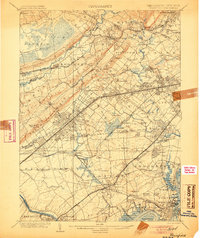 1905 Plainfield1905 Print · USGSNorth-central New Jersey at the turn of the century shows a landscape transitioning from rural townships to a bustling suburban and industrial network. Researchers can trace early property patterns and rail expansion through Great Swamp, Washington Rock, and Baltusrol.6 unique versions available
 - 1905 Map of Passaic
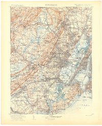 1905 Passaic1905 Print · USGSNorthern New Jersey and Staten Island appear here at a pivotal moment of early 20th-century growth and industrialization. Researchers can trace the development of transit hubs like Convent Sta. or locate legacy landmarks including Hillside Cemetery and the Moravian Cemetery.4 unique versions available
 - 1906 Map of Morristown
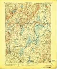 1906 Morristown1906 Print · USGSNorthern New Jersey's transition from industrial highlands to riverine lowlands is captured here just after the turn of the century. Genealogists can trace family roots in Hibernia or Boonton and locate historic crossings like Columbia Bridge and the Morris Canal.6 unique versions available
 - 1921 Map of Plainfield
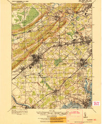 1921 Plainfield1921 Print · USGSNew Jersey's industrial corridor meets the ridges of the First and Second Mountains in the early twenties. Genealogists can trace family names and small settlements like Raritan Landing, Smalleytown, and the grounds of the New Jersey Reformatory.
 - 1942 Map of Passaic
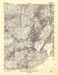 1942 Passaic1942 Print · USGSNorthern New Jersey and New York harbor appear in detail at the start of the war, showing a landscape of burgeoning suburbs and vital industry. Trace family roots and local history across the Passaic River valley, from Paterson to the Watchung Mountains.
 - 1943 Map of Roselle, 1947 Print
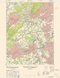 1943 Roselle1947 Print · USGSUnion County's industrial and commuter corridors are shown here at the height of the war years. Genealogists and rail historians can trace the complex junctions at Cranford Junction and locate family plots in Hazelwood Cem or Graceland Mem Park Cem.
 - 1944 Map of Newark, 1971 Print
 1944 Newark1971 Print · USGSThe industrial corridor from Philadelphia to New York was in a period of massive transition during the mid-forties. Genealogists and researchers can trace the rail lines of the Lehigh Valley RR, locate military installations like Picatinny Arsenal, and explore the early sprawl near Levittown.5 unique versions available
 - 1947 Map of Caldwell
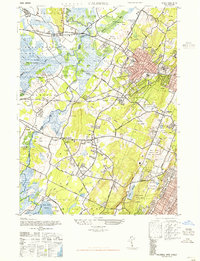 1947 Caldwell1947 Print · USGSEssex and Morris Counties are shown just after the war, when a network of small airports and golf courses integrated with established boroughs. Researchers can trace the legacy of Hatfield Swamp or locate family sites near Restland Cemetery and Morehousetown.
 - 1947 Map of Chatham
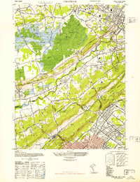 1947 Chatham1947 Print · USGSThe Morris and Union County borderlands appear here in the late 1940s as a mix of preserved marshland and rapid suburban growth. Researchers can trace the rail-side development of Stirling and Gillette or locate historic sites like the Bonnie Burn Sanatorium and Murray Hill Sta.2 unique versions available
 - 1947 Map of Morristown
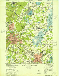 1947 Morristown1947 Print · USGSMorris County was undergoing rapid post-war growth when this survey recorded its transitioning rail-and-river landscape. Genealogists and local historians can trace the foundations of Morristown, Madison, and Whippany, alongside major landmarks like Greystone Park State Hospital and Washingtons Hdqtrs.
 - 1947 Map of Roselle
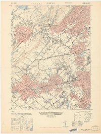 1947 Roselle1947 Print · USGSThe northern Union County suburbs were rapidly expanding in the late 1940s as rail networks and park systems matured. Genealogists and local historians can trace the development of Summit, Kenilworth, and Linden alongside landmarks like Cranford Junction and Fairview Cem.2 unique versions available
 - 1949 Map of Newark
 1949 Newark1949 Print · USGSThe industrial corridor between Philadelphia and New York comes alive in this post-war survey. Genealogists and historians can trace the massive rail networks of the Reading Railroad and locate major installations like Fort Dix or Picatinny Arsenal.2 unique versions available
 - 1954 Map of Morristown, 1955 Print
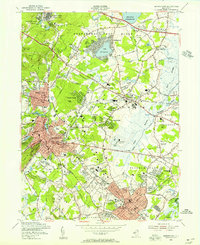 1954 Morristown1955 Print · USGSMorristown and its neighboring boroughs are shown in the mid-fifties during a period of robust institutional and suburban growth. Genealogists can locate family sites near Evergreen Cemetery or trace the early campus layouts of Drew University and Greystone Park State Hospital.5 unique versions available
 - 1954 Map of Caldwell, 1956 Print
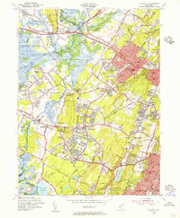 1954 Caldwell1956 Print · USGSMid-century Essex and Morris counties are captured here as suburban growth begins to surround long-standing landmarks and institutional campuses. Genealogists and local historians can trace family roots through numerous local schools like Grover Cleveland Sch and old burial grounds such as Gate of Heaven Cemetery.6 unique versions available
 - 1955 Map of Chatham, 1957 Print
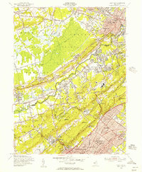 1955 Chatham1957 Print · USGSMid-century Morris, Somerset, and Union Counties are defined here by the intersection of the Great Swamp and the rising Watchung Mountains. Researchers can trace the development of suburban rail corridors and find local landmarks like St Josephs Shrine, Meyersville Cem, and the Watchung Reservation.7 unique versions available
 - 1955 Map of Roselle, 1958 Print
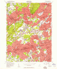 1955 Roselle1958 Print · USGSNorth-central New Jersey thrived during the mid-fifties as the suburban landscape densified around historic rail hubs and new parkways. Genealogists can trace family roots through numerous local landmarks like Fairview Cemetery, Holy Trinity High Sch, and the Lackawanna RR corridor.4 unique versions available
 - 1956 Map of Newark
 1956 Newark1956 Print · USGSThe industrial heart of the Mid-Atlantic is captured here at the dawn of the highway era, tracing the dense corridors between Newark and Philadelphia. Genealogists and local historians can map the rail networks of the Reading RR or locate mid-century military life at Fort Dix Military Reservation.2 unique versions available
 - 1957 Map of Newark
 1957 Newark1957 Print · USGSThe industrial and military heart of the Mid-Atlantic is mapped during its post-war suburban boom. Genealogists and historians can trace the intricate rail corridors of the Reading Railroad and locate key landmarks from Princeton University to Fort Hancock.
Showing maps 1-25 of 52
Top cities near Chatham
- New York historical maps
- Newark historical maps
- Paterson historical maps
- Elizabeth historical maps
- Edison historical maps
- Woodbridge Township historical maps
See more
Top neighborhoods of Chatham
Frequently asked questions
- What are the different types of historical maps available for Chatham?
- What is the oldest map of Chatham?
- Where can I purchase historical maps of Chatham for my home or office?
- Where can I download high-res historical maps of Chatham?
- Are there historical topographic maps available for Chatham?
- Is there historical aerial imagery available for Chatham?
- Where are historical maps of Chatham sourced from?