2000s (21st Century) Maps of Ocean County, New Jersey
Explore 135 historic maps of Ocean County from the 2000s (21st Century). These maps offer a rare glimpse into what life looked like during the 2000s — showing old roads, neighborhoods, homes, and landmarks that have changed or disappeared over time.
Whether you're researching your family's past, planning a metal detecting trip, or studying how Ocean County's landscape evolved across the 2000s, these high-resolution maps are a powerful tool for exploring the history of this region.
- Focus on a specific era: All maps on this page are from the 2000s, giving you a focused view of this time period.
- See what’s changed: Compare century-old streets, trails, and buildings to today's modern landscape using overlays and satellite layers.
- Research with precision: Use these maps for genealogy, historical research, land use analysis, or educational projects.
- View, download, or print: Maps are fully viewable online in high resolution, and can be downloaded or printed for your own records.
Start exploring Ocean County's history through authentic maps from the 2000s. This is your window into the past.
Ocean County, NJ maps
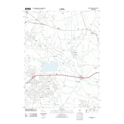
(135)- 2011 Map of Lakewood, 2011 Print
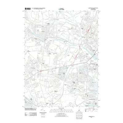 2011 Lakewood2011 Print · USGSCovers Ocean County, including Toms River, Lakewood Township, and other nearby areas
 - 2011 Map of Roosevelt, 2011 Print
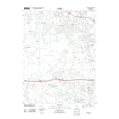
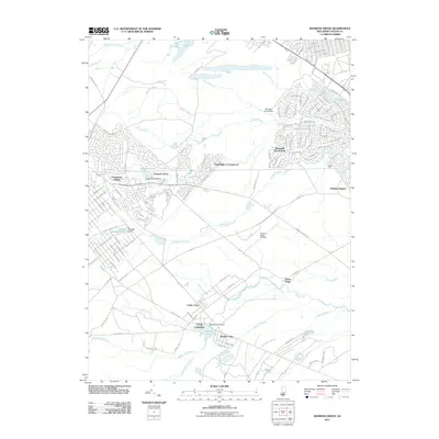
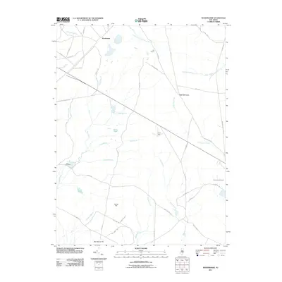
 2011 Roosevelt2011 Print · USGSCovers Ocean County, including Jackson Township, Manalapan Township, and other nearby areas
 - 2011 Map of Asbury Park, 2011 Print
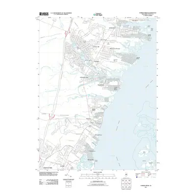
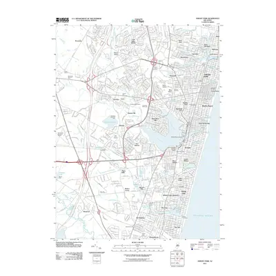 2011 Asbury Park2011 Print · USGSCovers Ocean County, including Brick Township, Neptune Township, and other nearby areas
 - 2011 Map of Cassville, 2011 Print
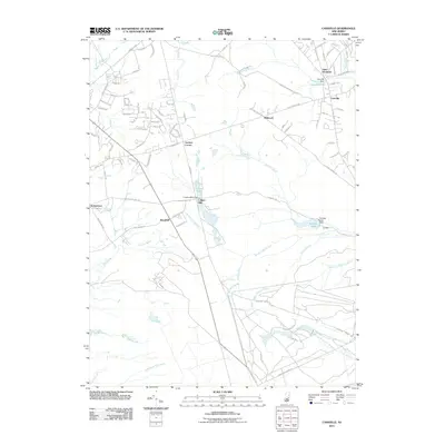 2011 Cassville2011 Print · USGSCovers Ocean County, including Jackson Township, Manchester Township, and other nearby areas
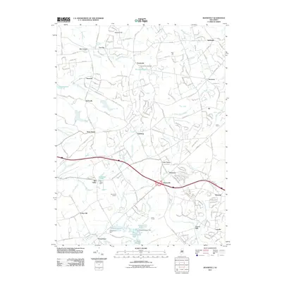
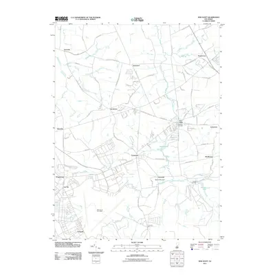
 - 2011 Map of Farmingdale, 2011 Print
 2011 Farmingdale2011 Print · USGSCovers Ocean County, including Howell Township, Jackson Township, and other nearby areas
 - 2011 Map of New Egypt, 2011 Print
 2011 New Egypt2011 Print · USGSCovers Ocean County, including Plumsted Township, Upper Freehold Township, and other nearby areas
 - 2011 Map of Lakehurst, 2011 Print
 2011 Lakehurst2011 Print · USGSCovers Ocean County, including Toms River, Lakewood Township, and other nearby areas
 - 2011 Map of Adelphia, 2011 Print
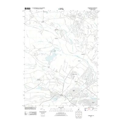
 2011 Adelphia2011 Print · USGSCovers Ocean County, including Howell Township, Jackson Township, and other nearby areas
 - 2011 Map of Point Pleasant, 2011 Print
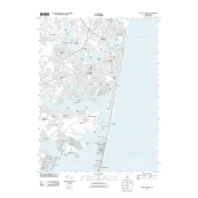 2011 Point Pleasant2011 Print · USGSCovers Ocean County, including Toms River, Brick Township, and other nearby areas
 - 2011 Map of Keswick Grove, 2011 Print
 2011 Keswick Grove2011 Print · USGSCovers Ocean County, including Toms River, Manchester Township, and other nearby areas
 - 2011 Map of Forked River, 2011 Print
 2011 Forked River2011 Print · USGSCovers Ocean County, including Berkeley Township, Lacey Township, and other nearby areas
 - 2011 Map of Beach Haven, 2011 Print
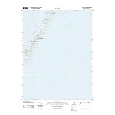 2011 Beach Haven2011 Print · USGSCovers Ocean County, including Long Beach Township, Eagleswood Township, and other nearby areas
 - 2011 Map of New Gretna, 2011 Print
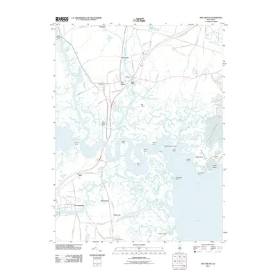 2011 New Gretna2011 Print · USGSCovers Ocean County, including Galloway Township, Little Egg Harbor Township, and other nearby areas
 - 2011 Map of Woodmansie, 2011 Print
 2011 Woodmansie2011 Print · USGSCovers Ocean County, including Manchester Township, Stafford Township, and other nearby areas
 - 2011 Map of West Creek, 2011 Print
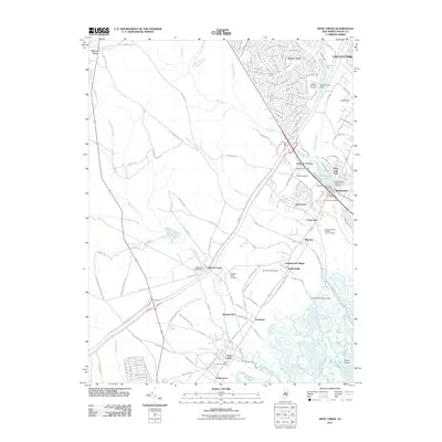 2011 West Creek2011 Print · USGSCovers Ocean County, including Stafford Township, Barnegat Township, and other nearby areas
 - 2011 Map of Whiting, 2011 Print
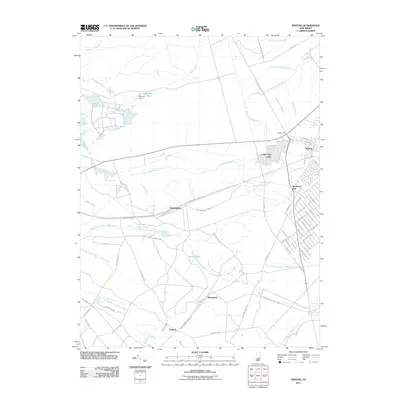 2011 Whiting2011 Print · USGSCovers Ocean County, including Jackson Township, Manchester Township, and other nearby areas
 - 2011 Map of Tuckerton, 2011 Print
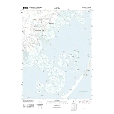 2011 Tuckerton2011 Print · USGSCovers Ocean County, including Galloway Township, Little Egg Harbor Township, and other nearby areas
 - 2011 Map of Brookville, 2011 Print
 2011 Brookville2011 Print · USGSCovers Ocean County, including Stafford Township, Lacey Township, and other nearby areas
 - 2011 Map of Ship Bottom, 2011 Print
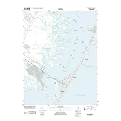 2011 Ship Bottom2011 Print · USGSCovers Ocean County, including Stafford Township, Barnegat Township, and other nearby areas
 - 2011 Map of Oswego Lake, 2011 Print
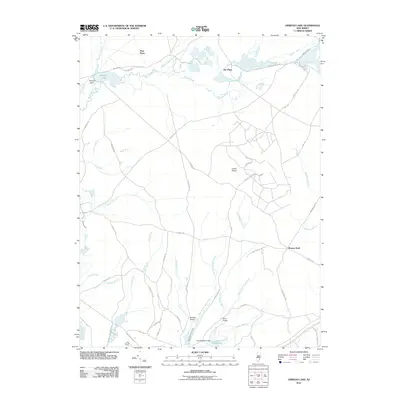 2011 Oswego Lake2011 Print · USGSCovers Ocean County, including Stafford Township, Little Egg Harbor Township, and other nearby areas
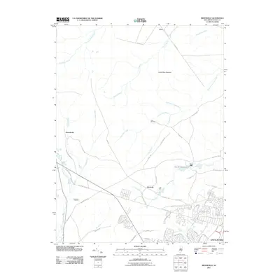
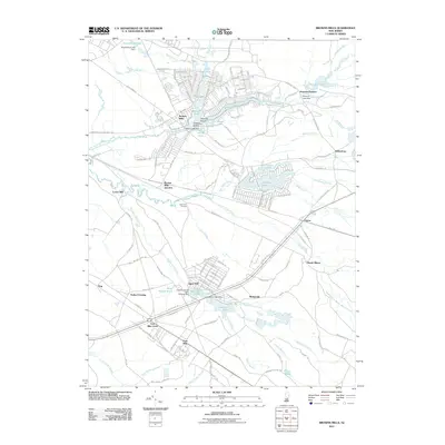
 - 2011 Map of Browns Mills, 2011 Print
 2011 Browns Mills2011 Print · USGSCovers Ocean County, including Southampton Township, Plumsted Township, and other nearby areas
 - 2011 Map of Toms River, 2011 Print
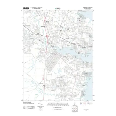 2011 Toms River2011 Print · USGSCovers Ocean County, including Toms River, Manchester Township, and other nearby areas
 - 2011 Map of Brigantine Inlet, 2011 Print
 2011 Brigantine Inlet2011 Print · USGSCovers Ocean County, including Galloway Township, Little Egg Harbor Township, and other nearby areas
 - 2011 Map of Oceanville, 2011 Print
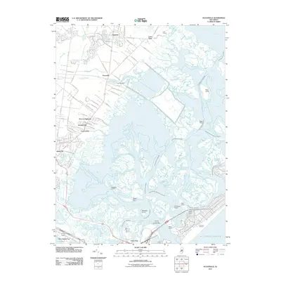 2011 Oceanville2011 Print · USGSCovers Ocean County, including Egg Harbor Township, Atlantic City, and other nearby areas
 - 2011 Map of Barnegat Light, 2011 Print
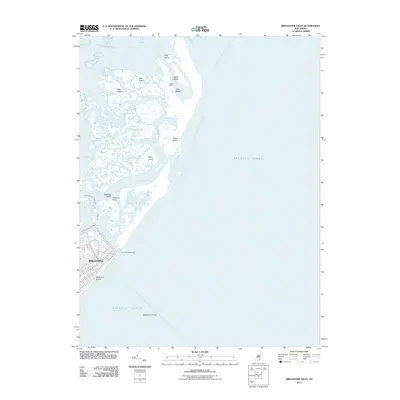
 2011 Barnegat Light2011 Print · USGSCovers Ocean County, including Berkeley Township, Lacey Township, and other nearby areas
Showing maps 1-25 of 135
Top cities of Ocean County
- Toms River historical maps
- Lakewood Township historical maps
- Brick Township historical maps
- Jackson Township historical maps
- Manchester Township historical maps
- Berkeley Township historical maps
See more
Frequently asked questions
- What are the different types of historical maps available for Ocean County?
- What is the oldest map of Ocean County?
- Where can I purchase historical maps of Ocean County for my home or office?
- Where can I download high-res historical maps of Ocean County?
- Are there historical topographic maps available for Ocean County?
- Is there historical aerial imagery available for Ocean County?
- Where are historical maps of Ocean County sourced from?