2020s Maps of Albuquerque, New Mexico
Explore 24 historic maps of Albuquerque from the 2020s. These maps offer a rare glimpse into what life looked like during the 2020s — showing old roads, neighborhoods, homes, and landmarks that have changed or disappeared over time.
Whether you're researching your family's past, planning a metal detecting trip, or studying how Albuquerque's landscape evolved across the 2020s, these high-resolution maps are a powerful tool for exploring the history of this region.
- Focus on a specific era: All maps on this page are from the 2020s, giving you a focused view of this time period.
- See what’s changed: Compare century-old streets, trails, and buildings to today's modern landscape using overlays and satellite layers.
- Research with precision: Use these maps for genealogy, historical research, land use analysis, or educational projects.
- View, download, or print: Maps are fully viewable online in high resolution, and can be downloaded or printed for your own records.
Start exploring Albuquerque's history through authentic maps from the 2020s. This is your window into the past.
Albuquerque, NM maps
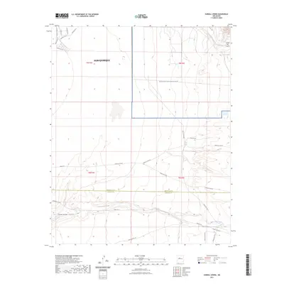
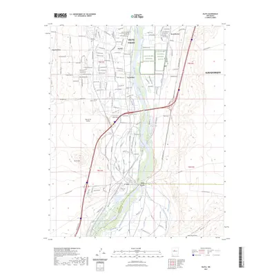
(24)- 2020 Map of Isleta, 2020 Print
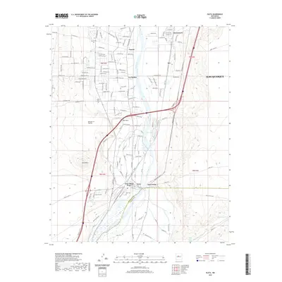 2020 Isleta2020 Print · USGSCovers Albuquerque, including Barr, Los Padillas, and other nearby areas
 - 2020 Map of Hubbell Spring, 2020 Print
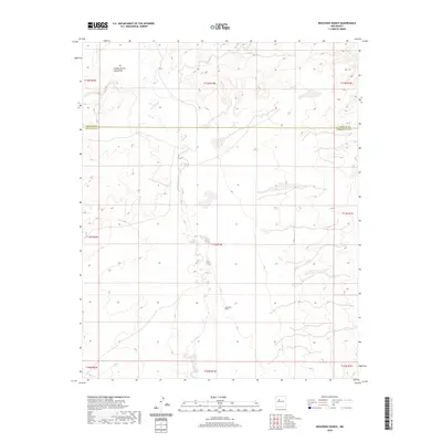
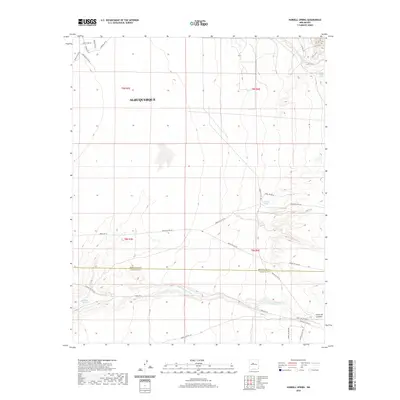 2020 Hubbell Spring2020 Print · USGSCovers Albuquerque, including Bernalillo County, Valencia County, and other nearby areas
 - 2020 Map of Albuquerque East, 2020 Print
 2020 Albuquerque East2020 Print · USGSCovers Albuquerque, including Enchanted Park, Quail Ridge, and other nearby areas
 - 2020 Map of The Volcanoes, 2020 Print
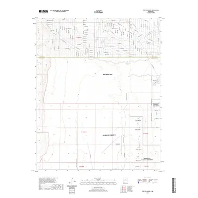 2020 The Volcanoes2020 Print · USGSCovers Albuquerque, including Rio Rancho, Quail Ranch, and other nearby areas
 - 2020 Map of Tijeras, 2020 Print
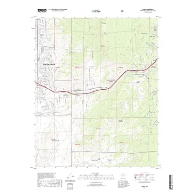 2020 Tijeras2020 Print · USGSCovers Albuquerque, including Cedar Crest, Tijeras, and other nearby areas
 - 2020 Map of Albuquerque West, 2020 Print
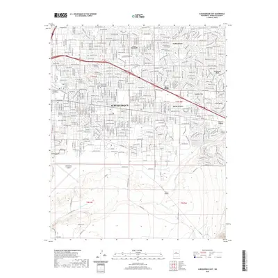
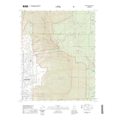
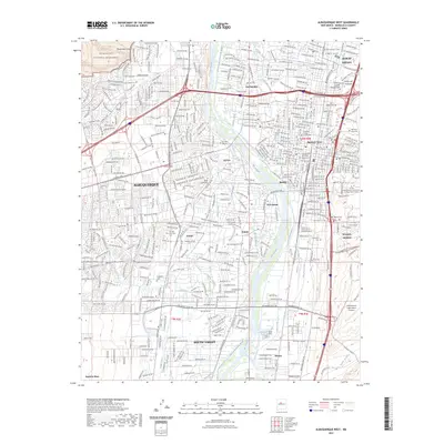
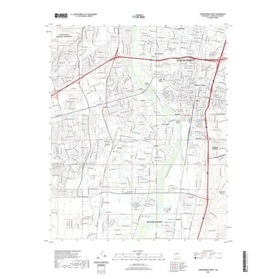 2020 Albuquerque West2020 Print · USGSCovers Albuquerque, including South Valley, Bernalillo County, and other nearby areas
 - 2020 Map of Benavidez Ranch, 2020 Print
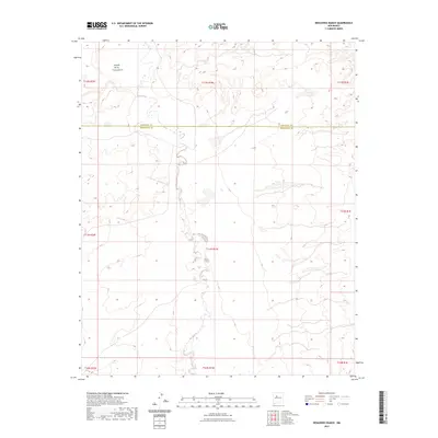
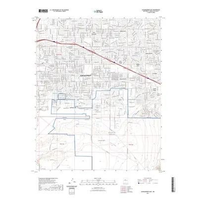
 2020 Benavidez Ranch2020 Print · USGSCovers Albuquerque, including Eastern Navajo Agency, Bernalillo County, and other nearby areas
 - 2020 Map of Los Griegos, 2020 Print
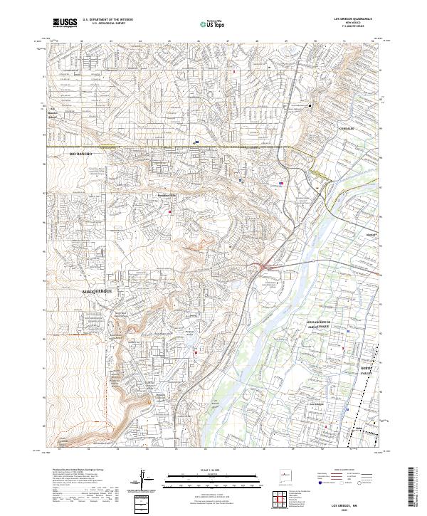
 2020 Los Griegos2020 Print · USGSCovers Albuquerque, including Rio Rancho, Corrales, and other nearby areas
 - 2020 Map of La Mesita Negra, 2020 Print
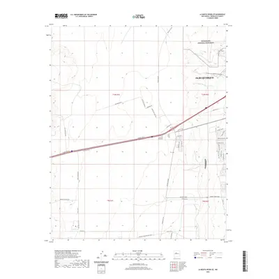
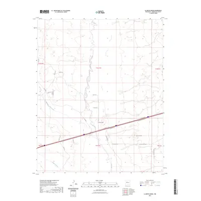
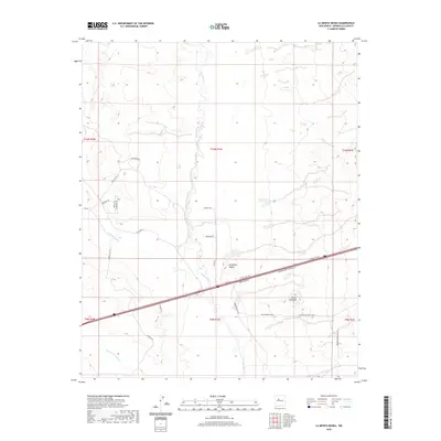 2020 La Mesita Negra2020 Print · USGSCovers Albuquerque, including Eastern Navajo Agency, Bernalillo County, and other nearby areas
 - 2020 Map of Sandia Crest, 2020 Print
 2020 Sandia Crest2020 Print · USGSCovers Albuquerque, including Cedar Crest, Evergreen Hills Subdivision, and other nearby areas
 - 2020 Map of Alameda, 2020 Print
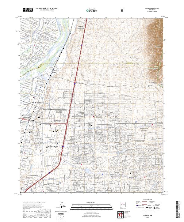
 2020 Alameda2020 Print · USGSCovers Albuquerque, including Corrales, Los Ranchos de Albuquerque, and other nearby areas
 - 2020 Map of La Mesita Negra SE, 2020 Print
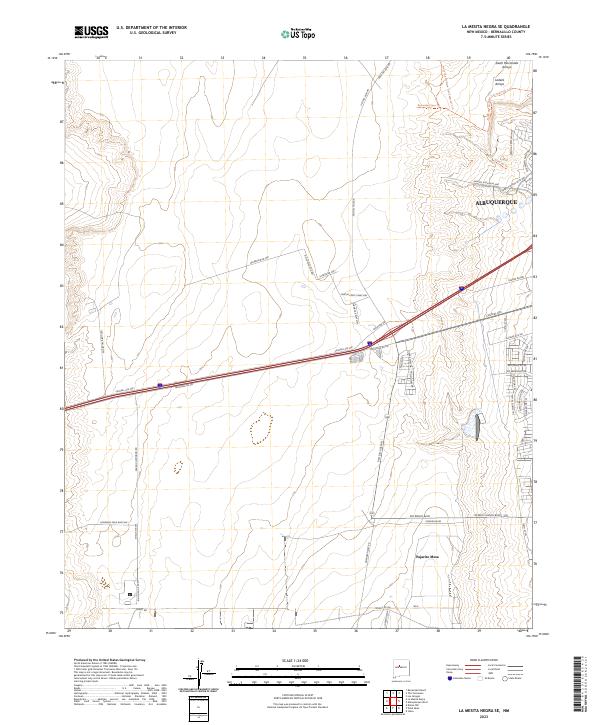
 2020 La Mesita Negra SE2020 Print · USGSCovers Albuquerque, including West of Westland, Bernalillo County, and other nearby areas
 - 2023 Map of Hubbell Spring, 2023 Print
 2023 Hubbell Spring2023 Print · USGSThe Albuquerque foothills and desert plains are captured here in the early twenty-first century, showing the intersection of military and tribal lands. Researchers can trace historic water sources like Hubbell Spring and Ojo de la Cabra alongside the route of Indian Svc Rte 60.
 - 2023 Map of Sandia Crest, 2023 Print
 2023 Sandia Crest2023 Print · USGSAlbuquerque's rugged eastern boundary is defined here by the high peaks and wilderness trails of the modern era. Genealogists and hikers can locate Cañoncito Cem and trace the paths leading through Kiwanis Meadow or the residential growth of Sandia Heights.
 - 2023 Map of Benavidez Ranch, 2023 Print
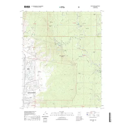
 2023 Benavidez Ranch2023 Print · USGSNew Mexico's high desert west of Albuquerque is captured here in the early twenty-first century, showing the rugged drainage of the Rio Puerco. Researchers can trace the county line between Sandoval County and Bernalillo County or locate the Cañada de los Canoncito.
 - 2023 Map of Isleta, 2023 Print
 2023 Isleta2023 Print · USGSThe Rio Grande valley south of Albuquerque is shown here in its modern context, balancing ancient agricultural traditions with conservation. Researchers can trace ancestral sites and local history at Isleta Pueblo, Los Padillas Cem, and Black Mesa.
 - 2023 Map of Tijeras, 2023 Print
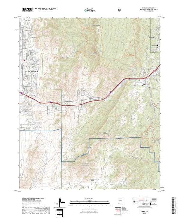 2023 Tijeras2023 Print · USGSThe East Mountains and the Tijeras Canyon corridor are shown here in the contemporary era, where the edge of the city meets the wilderness. Researchers can locate family sites and landmarks like Santo Niño Camposanto Cem, Cedar Crest, and Kirtland Air Force Base.
 - 2023 Map of The Volcanoes, 2023 Print
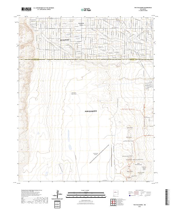 2023 The Volcanoes2023 Print · USGSThe West Mesa of Albuquerque and Rio Rancho are captured here during a period of modern expansion alongside ancient geological sites. Researchers can trace the proximity of new residential developments to The Volcanoes and Petroglyph National Monument, or locate landmarks like the Double Eagle II Airport.
 - 2023 Map of La Mesita Negra, 2023 Print
 2023 La Mesita Negra2023 Print · USGSThe high desert landscape west of Albuquerque is captured here in the early 2020s, dominated by the serpentine Rio Puerco. Researchers can trace the intersection of ancient terrain like Cerro Colorado with modern utility routes and the settlement at La Mesita Negra.
 - 2023 Map of Albuquerque West, 2023 Print
 2023 Albuquerque West2023 Print · USGSModern Albuquerque and the South Valley are shown here in the 2020s, highlighting the enduring network of the Atrisco Ditch and Rio Grande. Researchers can trace local heritage through sites like San Jose Cem and the Petroglyph National Monument.
 - 2023 Map of La Mesita Negra SE, 2023 Print
 2023 La Mesita Negra SE2023 Print · USGSThe western edge of modern Albuquerque and the volcanic landscape of the West Mesa are documented in this recent survey. Outdoor enthusiasts and local historians can trace the Petroglyph National Monument trail systems and drainage patterns of Ladera Arroyo.
 - 2023 Map of Albuquerque East, 2023 Print
 2023 Albuquerque East2023 Print · USGSAlbuquerque's eastern neighborhoods and major military installations are captured here in the early twenty-first century. Researchers can locate family sites in Fairview Memorial Park Cem or trace the development of Mesa Village and Chelwood Park.
 - 2023 Map of Alameda, 2023 Print
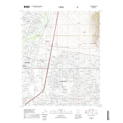
 2023 Alameda2023 Print · USGSGreater Albuquerque and the Rio Grande valley meet the foothills of the Sandia Mountains in this modern-day survey. Genealogists and local historians can trace burial sites like Sandia Memory Gardens Cem and historic water features like the Sandia Lateral.
 - 2023 Map of Los Griegos, 2023 Print
 2023 Los Griegos2023 Print · USGSThe Rio Grande valley and volcanic West Mesa appear in high detail during the early 2020s, showing the complex boundary between urban growth and ancient landscapes. Researchers can trace the extensive irrigation network through the Griegos Drain and locate heritage sites like Romero Cem and the sprawling Petroglyph National Monument.
End of results
Showing maps 1-24 of 24
Top cities near Albuquerque
- Rio Rancho historical maps
- South Valley historical maps
- Bernalillo historical maps
- Corrales historical maps
- Los Ranchos de Albuquerque historical maps
- Paradise Hills historical maps
See more
Top neighborhoods of Albuquerque
- Four Hills (HOA) historical maps
- Antelope Run historical maps
- Matheson Park historical maps
- Juan Tabo Hills historical maps
- Monte Largo Hills historical maps
- Cielito Lindo historical maps
See more
Frequently asked questions
- What are the different types of historical maps available for Albuquerque?
- What is the oldest map of Albuquerque?
- Where can I purchase historical maps of Albuquerque for my home or office?
- Where can I download high-res historical maps of Albuquerque?
- Are there historical topographic maps available for Albuquerque?
- Is there historical aerial imagery available for Albuquerque?
- Where are historical maps of Albuquerque sourced from?