Old Maps of Cedar Crest, New Mexico for Genealogy
Trace your family roots with 39 historic maps of Cedar Crest. These high-res maps reveal old neighborhoods, homesites, landmarks, and streets — helping you uncover where your ancestors lived and how the area evolved over time.
- Explore historic neighborhoods: Identify where your relatives may have lived in the 1800s or 1900s.
- Compare maps over time: Trace the changes in streets, buildings, and landmarks for multi-generational research.
- Perfect for genealogy & ancestry research: Used by family historians and researchers to map out lineage and migration.
These maps are an incredible resource for exploring your personal connection to Cedar Crest's past.
Cedar Crest, NM maps
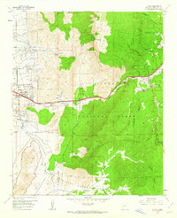
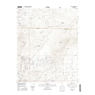
(39)- 1892 Map of San Pedro
 1892 San Pedro1892 Print · USGSNew Mexico's high desert and mountain mining districts come alive in the late nineteenth century as the rail lines reached the interior. Genealogists and historians can trace old wagon routes and rail stops near Dolores, the mining activity at Golden, and early adobe settlements like Algodones and San Pedro.5 unique versions available
 - 1954 Map of Sandia Crest, 1955 Print
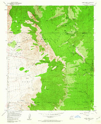
 1954 Sandia Crest1955 Print · USGSThe high peaks and deep canyons of Bernalillo County come into sharp focus in the mid-1950s as recreation and infrastructure began to expand. Genealogists and hikers can trace old routes like the La Luz Trail or locate remote landmarks like Ellis Ranch and Cañoncito Cemetery.2 unique versions available
 - 1954 Map of Sandia Park, 1955 Print
 1954 Sandia Park1955 Print · USGSIn the Sandia Mountains during the mid-fifties, this area shows a quiet transition between old land grants and national forest. Researchers can trace ancestral sites and early industry at the Pa-ako Ruins, the Smelter Ruins, and the La Madera Cemetery.4 unique versions available
 - 1954 Map of Tijeras, 1955 Print
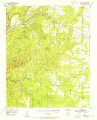
 1954 Tijeras1955 Print · USGSEast of Albuquerque in the mid-fifties, the mountain villages along the Cañon De Carnue Grant were key outposts on the road through the canyon. Genealogists and hikers can trace old routes like the Apachitos Trail or locate landmarks like the Santo Nino Cemetery and York Mine.2 unique versions available
 - 1954 Map of Sedillo, 1955 Print
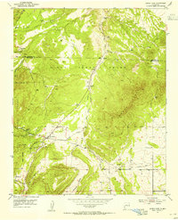
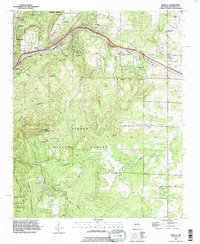
 1954 Sedillo1955 Print · USGSThe high canyons of the Manzano Mountains are captured here in the mid-fifties as small settlements and mountain outposts dot the Cibola National Forest. Genealogists and historians can locate now-vanished sites like Sabino and the Piedmont Fur Farm alongside established communities like Sedillo.4 unique versions available
 - 1958 Map of Albuquerque
 1958 Albuquerque1958 Print · USGSAlbuquerque and the surrounding high desert are captured here during a period of massive federal expansion and postwar growth. Researchers can trace the development of Kirtland Air Force Base, find ancestral homes in Pueblo de Santa Ana, or locate industrial sites like the Jackpile Mine.
 - 1961 Map of Sandia Crest, 1962 Print
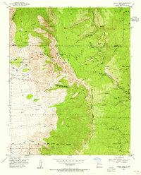
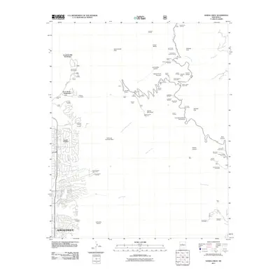
 1961 Sandia Crest1962 Print · USGSThe Sandia Mountains stand at a crossroads of recreational expansion and historic land grants in the early sixties. Researchers can find old backcountry outposts like Juan Tabo Cabin, the Cañoncito Cemetery, and the high-altitude La Luz Mine.5 unique versions available
 - 1961 Map of Tijeras, 1962 Print
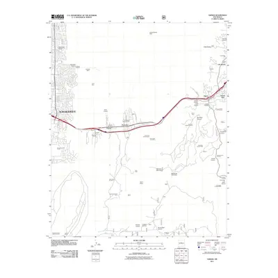
 1961 Tijeras1962 Print · USGSThe mountain passes east of Albuquerque come to life in the early sixties as Route 66 winds through the Canon De Carnue. Genealogists and local historians can trace family roots at Santo Nino Cem and explore the remote reaches of the Sandia Military Reservation.5 unique versions available
 - 1962 Map of Albuquerque
 1962 Albuquerque1962 Print · USGSAlbuquerque and the surrounding high desert are captured here in the early 1960s during a period of intense mineral and military growth. Genealogists and historians can locate early schools like the Pueblo Pintado School, major industrial sites like the Jackpile Mine, and the sprawling Kirtland Air Force Base.
 - 1963 Map of Albuquerque, 1965 Print
 1963 Albuquerque1965 Print · USGSMid-century New Mexico unfolds across this map, showcasing the intersection of ancient pueblos, modern military bases, and historic mining districts. Trace family roots and local history through the Ortiz Mine, Seven Lakes Trading Post, and Alameda.3 unique versions available
 - 1978 Map of Albuquerque, 1986 Print
 1978 Albuquerque1986 Print · USGSGreater Albuquerque and the Rio Grande valley are captured here during a period of significant suburban expansion in the late seventies. Researchers can trace the early Subdivision Road Pattern near Rio Rancho and the historic footprints of Santa Ana Pueblo and Bernalillo.
 - 1983 Map of Albuquerque, 1984 Print
 1983 Albuquerque1984 Print · USGSCentral New Mexico in the early eighties shows a landscape where ancient pueblos and modern aerospace hubs meet. Trace the routes of the Atchison Topeka and Santa Fe RR or locate landmarks like Kirtland Air Force Base, Madrid, and the Sandia Mountains.
 - 1990 Map of Sandia Park, 1996 Print
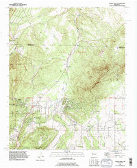 1990 Sandia Park1996 Print · USGSThe East Mountains of New Mexico come into sharp focus in the 1990s, revealing a landscape where ancestral sites and pioneer routes meet growing mountain communities. Trace historic transit lines like the Old Stagecoach Road or locate the Pa-ako Ruins and La Madera Cemetery.
 - 1990 Map of Tijeras, 1996 Print
 1990 Tijeras1996 Print · USGSThe eastern edge of the Sandia Mountains meets the Albuquerque foothills during the early nineties as urban development presses against the Cibola National Forest. Researchers can trace historic mountain routes and local landmarks like Santo Nino Cem, the York Mine, and Carlito Springs.
 - 1990 Map of Sandia Crest, 1996 Print
 1990 Sandia Crest1996 Print · USGSThe high peaks of the Sandia Mountains and the expanding edge of Albuquerque meet here in the 1990s. Trace local history through landmarks like the Cañoncito Cemetery, the La Luz Mine, and the Sandia Peak Ski Area.2 unique versions available
 - 1990 Map of Sedillo, 1996 Print
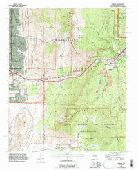
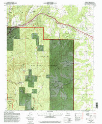
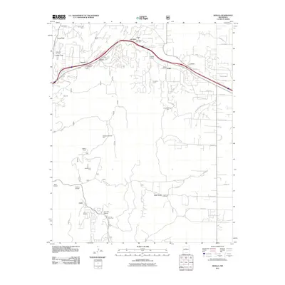
 1990 Sedillo1996 Print · USGSThe mountain communities of Bernalillo County are caught in a period of modern expansion along the historic U.S. 66 and Interstate 40 corridors. Researchers can trace the development of high-altitude settlements like Zuzax, Zamora, and Sedillo or locate landmarks such as the Animal Cemetery and Cedro Peak Communication Towers.
 - 1995 Map of Sedillo, 1998 Print
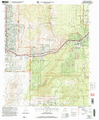
 1995 Sedillo1998 Print · USGSThe mountains east of Albuquerque come alive in the 1990s as settlements like Sedillo and Cedar Crest line the historic corridor through Tijeras Canyon. Researchers can trace the bounds of Kirkland Air Force Base or locate family landmarks like Juan Tomas and Zamora.
 - 2006 Map of Sandia Crest, 2007 Print
 2006 Sandia Crest2007 Print · USGSThe Albuquerque foothills and high peaks meet in this mid-2000s survey of the Sandia range. Researchers can trace land grant boundaries, find the Cañoncito Cem, and locate mountain landmarks like Juan Tabo Cabin and the Sandia Peak Aerial Tramway.
 - 2006 Map of Tijeras, 2007 Print
 2006 Tijeras2007 Print · USGSThe foothills of Albuquerque meet the high peaks of the Sandias in the mid-2000s, showing a landscape shaped by ancient grants and modern military use. Genealogists can trace family names at Santo Nino Cem and A Montoya Cem or locate the Sandia Pueblo Ruins.
 - 2011 Map of Tijeras, 2011 Print
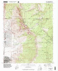
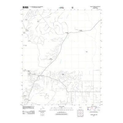
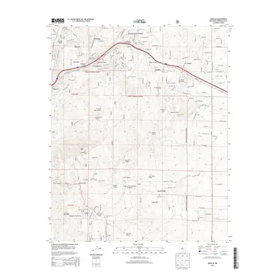
 2011 Tijeras2011 Print · USGSCovers Cedar Crest, including Albuquerque, Tijeras, and other nearby areas
 - 2011 Map of Sedillo, 2011 Print
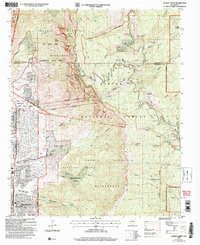
 2011 Sedillo2011 Print · USGSCovers Cedar Crest, including Tijeras, Cedro, and other nearby areas
 - 2011 Map of Sandia Park, 2011 Print
 2011 Sandia Park2011 Print · USGSCovers Cedar Crest, including Sierra Vista Estates, Sandia Haven, and other nearby areas
 - 2011 Map of Sandia Crest, 2011 Print
 2011 Sandia Crest2011 Print · USGSCovers Cedar Crest, including Albuquerque, Evergreen Hills Subdivision, and other nearby areas
 - 2013 Map of Sandia Park, 2013 Print
 2013 Sandia Park2013 Print · USGSCovers Cedar Crest, including Sierra Vista Estates, Sandia Haven, and other nearby areas
 - 2013 Map of Sedillo, 2013 Print
 2013 Sedillo2013 Print · USGSCovers Cedar Crest, including Tijeras, Cedro, and other nearby areas
Showing maps 1-25 of 39
Top cities near Cedar Crest
- Albuquerque historical maps
- Rio Rancho historical maps
- Bernalillo historical maps
- Corrales historical maps
- Edgewood historical maps
- Tijeras historical maps
See more
Top neighborhoods of Cedar Crest
Frequently asked questions
- What are the different types of historical maps available for Cedar Crest?
- What is the oldest map of Cedar Crest?
- Where can I purchase historical maps of Cedar Crest for my home or office?
- Where can I download high-res historical maps of Cedar Crest?
- Are there historical topographic maps available for Cedar Crest?
- Is there historical aerial imagery available for Cedar Crest?
- Where are historical maps of Cedar Crest sourced from?