2000s (21st Century) Maps of Los Ranchos de Albuquerque, New Mexico
Explore 11 historic maps of Los Ranchos de Albuquerque from the 2000s (21st Century). These maps offer a rare glimpse into what life looked like during the 2000s — showing old roads, neighborhoods, homes, and landmarks that have changed or disappeared over time.
Whether you're researching your family's past, planning a metal detecting trip, or studying how Los Ranchos de Albuquerque's landscape evolved across the 2000s, these high-resolution maps are a powerful tool for exploring the history of this region.
- Focus on a specific era: All maps on this page are from the 2000s, giving you a focused view of this time period.
- See what’s changed: Compare century-old streets, trails, and buildings to today's modern landscape using overlays and satellite layers.
- Research with precision: Use these maps for genealogy, historical research, land use analysis, or educational projects.
- View, download, or print: Maps are fully viewable online in high resolution, and can be downloaded or printed for your own records.
Start exploring Los Ranchos de Albuquerque's history through authentic maps from the 2000s. This is your window into the past.
Los Ranchos de Albuquerque, NM maps
(11)- 2006 Map of Alameda, 2007 Print
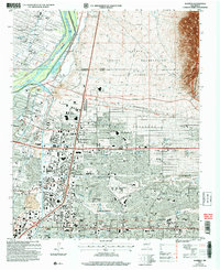 2006 Alameda2007 Print · USGSNorth of Albuquerque in the mid-2000s, the Rio Grande valley transitions from historic grants to modern suburban neighborhoods. Genealogists and historians can trace local landmarks like San Carlos Cem, the International Balloon Museum, and the boundaries of the Sandia Pueblo Grant.
 - 2010 Map of Los Griegos, 2010 Print
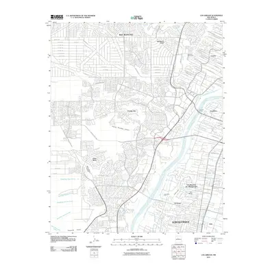 2010 Los Griegos2010 Print · USGSThe Rio Grande valley north of Albuquerque is captured here during a period of significant suburban expansion onto the West Mesa. Researchers can trace the complex irrigation networks of Los Ranchos De Albuquerque or locate historic valley landmarks like Los Poblanos Ranch and the Alameda Bridge.
 - 2011 Map of Alameda, 2011 Print
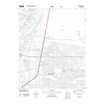 2011 Alameda2011 Print · USGSAlbuquerque and the North Valley are shown at a time of suburban density and active resource extraction. Researchers can locate numerous family and community sites like Sandoval Cemetery, the Corrales Post Office, and the Wylie Pit.
 - 2013 Map of Alameda, 2013 Print
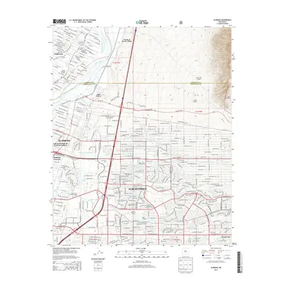 2013 Alameda2013 Print · USGSModern Albuquerque and its northern neighbors appear in great detail during the early 2010s. Researchers can trace tribal and municipal boundaries near Pueblo of Sandia Village or locate local landmarks like Sandoval Cem and the Arroyo del Oso Golf Course.
 - 2013 Map of Los Griegos, 2013 Print
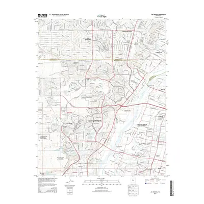 2013 Los Griegos2013 Print · USGSAlbuquerque and Rio Rancho meet along the Rio Grande valley during this period of significant suburban growth. Genealogists and local historians can trace the transition from riverfront communities like Los Ranchos de Albuquerque to high-desert landmarks like Petroglyph National Monument.
 - 2017 Map of Alameda, 2017 Print
 2017 Alameda2017 Print · USGSThe northern Albuquerque metro area and the Rio Grande valley are shown here in the late twenty-teens, where suburban growth meets tribal lands. Researchers can locate numerous local burial sites like Sandia Memory Gardens and trace the complex water systems of the Sandoval Lateral and Upper Corrales Riverside Drain.
 - 2017 Map of Los Griegos, 2017 Print
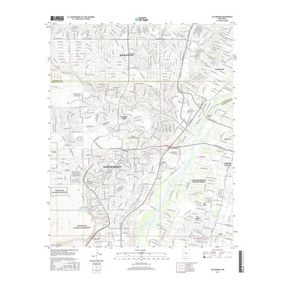 2017 Los Griegos2017 Print · USGSAlbuquerque and its surrounding valley communities are captured here just before the end of the decade, showing the intersection of volcanic mesas and river life. Researchers can trace the layout of Los Ranchos de Albuquerque and the sacred landscape of Petroglyph National Monument.
 - 2020 Map of Los Griegos, 2020 Print
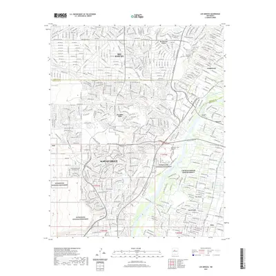 2020 Los Griegos2020 Print · USGSAlbuquerque and its northern suburbs are captured in this recent survey as the city meets the edge of the volcanic west mesa. Local historians and residents can trace modern neighborhood growth alongside the protected lands of Petroglyph National Monument and the historic river valley of Corrales.
 - 2020 Map of Alameda, 2020 Print
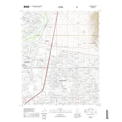 2020 Alameda2020 Print · USGSAlbuquerque and the Middle Rio Grande Valley are shown in the modern era as suburban expansion meets the foothills. Researchers can trace family history through numerous local sites including Sandoval Cem, Edith Endave, and Corrales.
 - 2023 Map of Alameda, 2023 Print
 2023 Alameda2023 Print · USGSGreater Albuquerque and the Rio Grande valley meet the foothills of the Sandia Mountains in this modern-day survey. Genealogists and local historians can trace burial sites like Sandia Memory Gardens Cem and historic water features like the Sandia Lateral.
 - 2023 Map of Los Griegos, 2023 Print
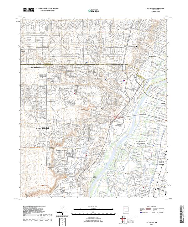 2023 Los Griegos2023 Print · USGSThe Rio Grande valley and volcanic West Mesa appear in high detail during the early 2020s, showing the complex boundary between urban growth and ancient landscapes. Researchers can trace the extensive irrigation network through the Griegos Drain and locate heritage sites like Romero Cem and the sprawling Petroglyph National Monument.
End of results
Showing maps 1-11 of 11
Top cities near Los Ranchos de Albuquerque
- Albuquerque historical maps
- Rio Rancho historical maps
- South Valley historical maps
- Bernalillo historical maps
- Corrales historical maps
- Paradise Hills historical maps
Frequently asked questions
- What are the different types of historical maps available for Los Ranchos de Albuquerque?
- What is the oldest map of Los Ranchos de Albuquerque?
- Where can I purchase historical maps of Los Ranchos de Albuquerque for my home or office?
- Where can I download high-res historical maps of Los Ranchos de Albuquerque?
- Are there historical topographic maps available for Los Ranchos de Albuquerque?
- Is there historical aerial imagery available for Los Ranchos de Albuquerque?
- Where are historical maps of Los Ranchos de Albuquerque sourced from?