2000s (21st Century) Maps of Eagle Nest, New Mexico
Explore 10 historic maps of Eagle Nest from the 2000s (21st Century). These maps offer a rare glimpse into what life looked like during the 2000s — showing old roads, neighborhoods, homes, and landmarks that have changed or disappeared over time.
Whether you're researching your family's past, planning a metal detecting trip, or studying how Eagle Nest's landscape evolved across the 2000s, these high-resolution maps are a powerful tool for exploring the history of this region.
- Focus on a specific era: All maps on this page are from the 2000s, giving you a focused view of this time period.
- See what’s changed: Compare century-old streets, trails, and buildings to today's modern landscape using overlays and satellite layers.
- Research with precision: Use these maps for genealogy, historical research, land use analysis, or educational projects.
- View, download, or print: Maps are fully viewable online in high resolution, and can be downloaded or printed for your own records.
Start exploring Eagle Nest's history through authentic maps from the 2000s. This is your window into the past.
Eagle Nest, NM maps
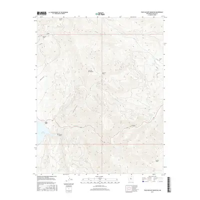
(10)- 2010 Map of Touch-Me-Not Mountain, 2010 Print
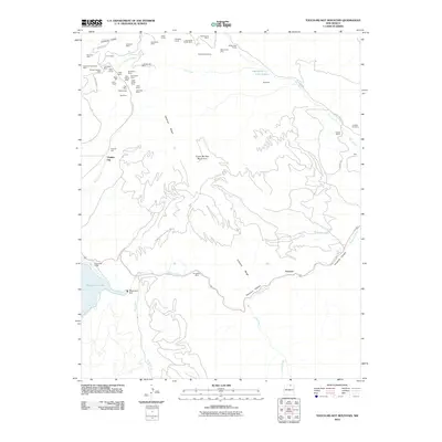 2010 Touch-Me-Not Mountain2010 Print · USGSCovers Eagle Nest, including Virginia City, Colfax County, and other nearby areas
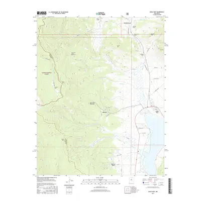
 - 2011 Map of Eagle Nest, 2011 Print
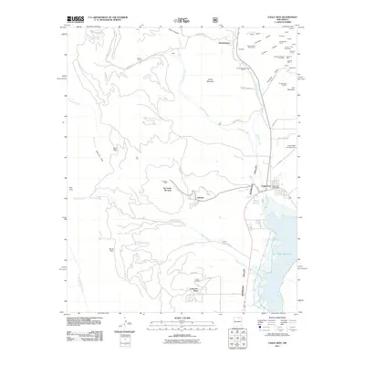 2011 Eagle Nest2011 Print · USGSCovers Eagle Nest, including Idlewild, Lakeview Pines, and other nearby areas
 - 2013 Map of Touch-Me-Not Mountain, 2013 Print
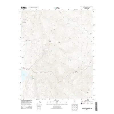 2013 Touch-Me-Not Mountain2013 Print · USGSCovers Eagle Nest, including Virginia City, Colfax County, and other nearby areas
 - 2013 Map of Eagle Nest, 2013 Print
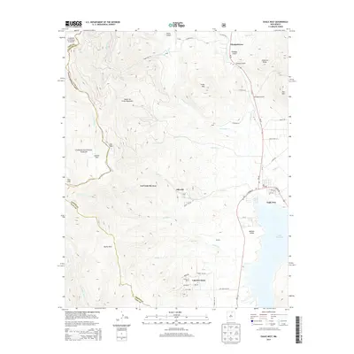 2013 Eagle Nest2013 Print · USGSCovers Eagle Nest, including Idlewild, Lakeview Pines, and other nearby areas
 - 2017 Map of Touch-Me-Not Mountain, 2017 Print
 2017 Touch-Me-Not Mountain2017 Print · USGSCovers Eagle Nest, including Virginia City, Colfax County, and other nearby areas
 - 2017 Map of Eagle Nest, 2017 Print
 2017 Eagle Nest2017 Print · USGSCovers Eagle Nest, including Idlewild, Lakeview Pines, and other nearby areas
 - 2020 Map of Touch-Me-Not Mountain, 2020 Print
 2020 Touch-Me-Not Mountain2020 Print · USGSCovers Eagle Nest, including Virginia City, Colfax County, and other nearby areas
 - 2020 Map of Eagle Nest, 2020 Print
 2020 Eagle Nest2020 Print · USGSCovers Eagle Nest, including Idlewild, Lakeview Pines, and other nearby areas
 - 2023 Map of Touch-Me-Not Mountain, 2023 Print
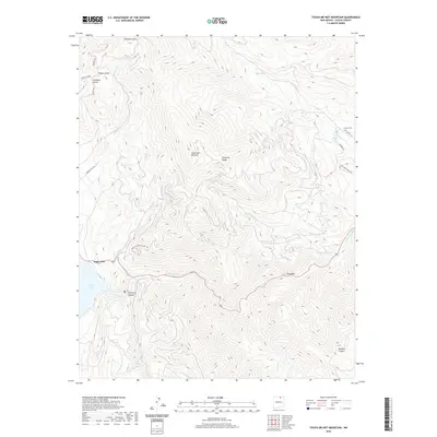
 2023 Touch-Me-Not Mountain2023 Print · USGSColfax County's high country is captured here in the early twenty-first century, centered on the heights of the Cimarron Range. Researchers can trace local history through the Jackson Cem and the settlement of Eagle Nest along the Cimarron River.
 - 2023 Map of Eagle Nest, 2023 Print
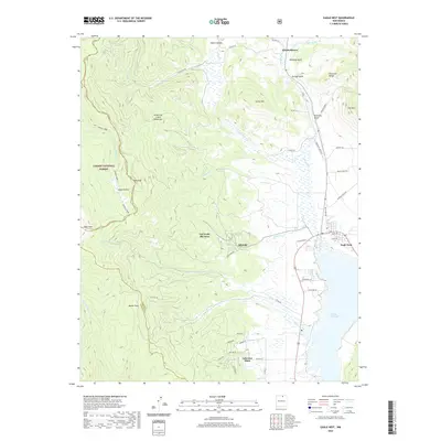
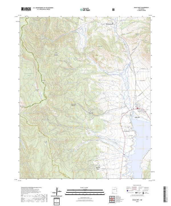 2023 Eagle Nest2023 Print · USGSColfax County's high Moreno Valley is captured here in the early twenty-first century, centered on the expansion of Eagle Nest. Local historians can locate the historic Elizabethtown Cem or trace the geography of the Val Verde Ski Area near the Sangre de Cristo range.
End of results
Showing maps 1-10 of 10
Top cities near Eagle Nest
Top neighborhoods of Eagle Nest
Frequently asked questions
- What are the different types of historical maps available for Eagle Nest?
- What is the oldest map of Eagle Nest?
- Where can I purchase historical maps of Eagle Nest for my home or office?
- Where can I download high-res historical maps of Eagle Nest?
- Are there historical topographic maps available for Eagle Nest?
- Is there historical aerial imagery available for Eagle Nest?
- Where are historical maps of Eagle Nest sourced from?