Old Maps of Clovis, New Mexico for Academic Research
Study the evolution of Clovis with 23 high-resolution historic maps. Whether you're teaching, researching, or modeling changes in land use, these maps provide essential visual documentation of urban, environmental, and geographic change.
- Analyze long-term change: Track patterns in development, transportation, and natural features.
- Ideal for environmental or urban studies: Support academic projects with primary historical map data.
- Use in the classroom or lab: Educators and researchers rely on these maps to bring historical context to life.
These maps are a powerful tool for teaching, research, and visualizing how Clovis has changed over the decades.
Clovis, NM maps
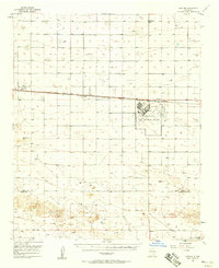
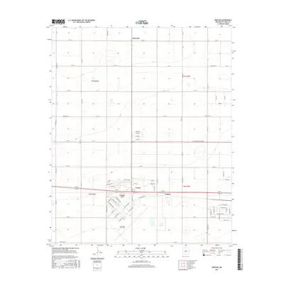
(23)- 1954 Map of Clovis, 1966 Print
 1954 Clovis1966 Print · USGSThe High Plains of the Texas-New Mexico borderland come alive in this mid-century survey as the region's agricultural and rail networks reached their peak. Trace family roots and local history through features like Cannon AFB, the massive Sand Hills, and busy rail towns such as Friona and Littlefield.4 unique versions available
 - 1957 Map of Portair, 1958 Print
 1957 Portair1958 Print · USGSEastern New Mexico's high plains are captured here in the late fifties, centered on the strategic expansion of Cannon Air Force Base. Researchers can trace the rail-side growth of St Vrain, Grier, and Portair along the Atchison Topeka and Santa Fe line.2 unique versions available
 - 1957 Map of Clovis, 1958 Print
 1957 Clovis1958 Print · USGSThe High Plains railroad hub of Clovis is captured here in the mid-fifties at the peak of its rail-era importance. Genealogists and researchers can trace the growth of the border towns of Texico and Farwell or locate landmarks like Lawn Haven Cem.3 unique versions available
 - 1957 Map of Pleasant Hill, 1958 Print
 1957 Pleasant Hill1958 Print · USGSCurry County, New Mexico, is captured in the late fifties as a landscape of rural crossroads and prairie draws along the Texas line. Researchers can locate the Pleasant Hill Cem, the settlement of Claud, and the New Mexico Game Refuge No 252.
 - 1958 Map of Clovis
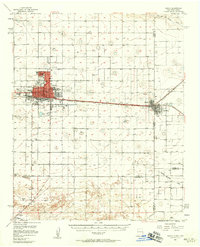
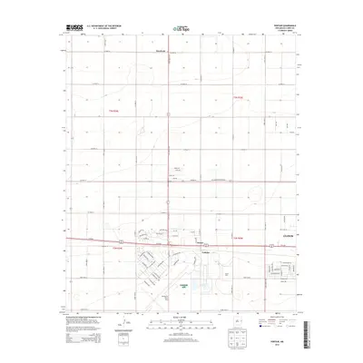
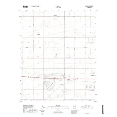
 1958 Clovis1958 Print · USGSThe High Plains of the New Mexico-Texas borderlands are captured here in the late fifties, during a period of significant military and agricultural expansion. Genealogists and historians can trace the rail-side growth of Clovis, the operations at Clovis Air Force Base, and the rural layout of communities like Muleshoe and Hereford.
 - 1985 Map of Portair
 1985 Portair1985 Print · USGSCurry County's high plains are captured here in the mid-1980s, centered on the military and agricultural hub west of Clovis. Researchers can trace the facility layout of Cannon Air Force Base and locate the smaller settlements of Portair and Ranchvale.
 - 1985 Map of Ned Houk Park
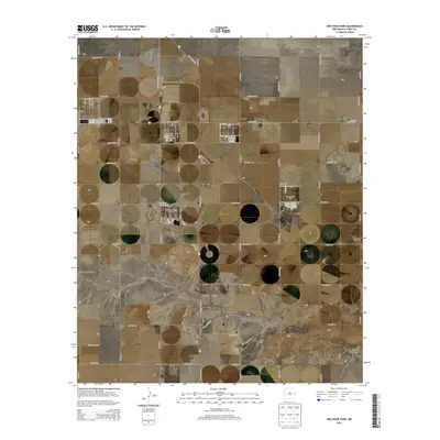
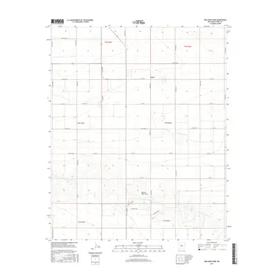
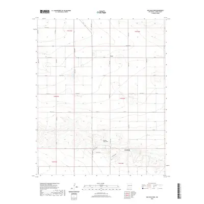
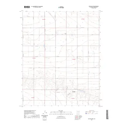
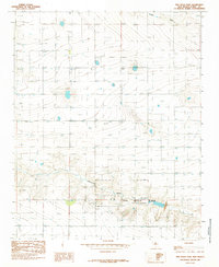 1985 Ned Houk Park1985 Print · USGSCurry County in the mid-1980s displays a landscape of agricultural utility and municipal expansion northeast of Clovis. Researchers can trace the development of Ned Houk Park and the settlement at Claud along the path of Running Water Draw.
 - 1985 Map of Clovis
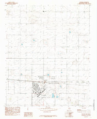
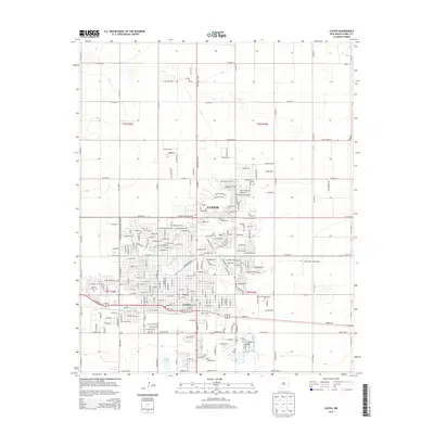
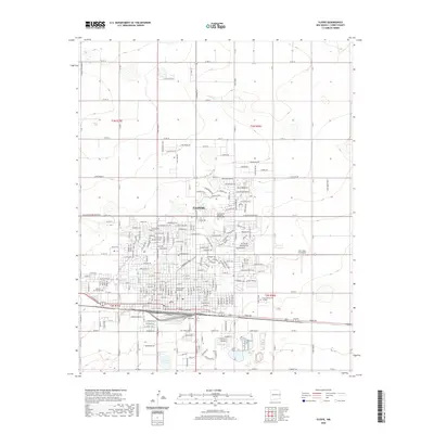
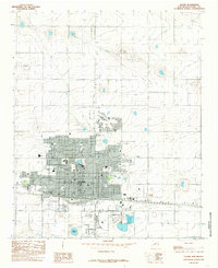 1985 Clovis1985 Print · USGSMid-century Clovis is captured here as a bustling agricultural and rail center on the New Mexico plains. Genealogists and local historians can trace the development of the Clovis city grid, the Cem, and large-scale sites like the Fair Ground.
 - 2010 Map of Clovis, 2010 Print
 2010 Clovis2010 Print · USGSCovers Clovis, including Curry County, United States, and other nearby areas
 - 2010 Map of Portair, 2010 Print
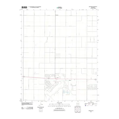 2010 Portair2010 Print · USGSCovers Clovis, including Portair, Gallaher, and other nearby areas
 - 2010 Map of Ned Houk Park, 2010 Print
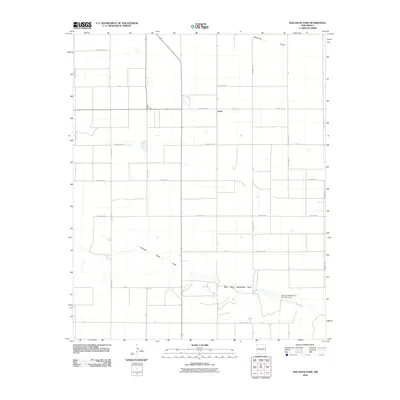 2010 Ned Houk Park2010 Print · USGSCovers Clovis, including Claud, Curry County, and other nearby areas
 - 2013 Map of Portair, 2013 Print
 2013 Portair2013 Print · USGSCovers Clovis, including Portair, Gallaher, and other nearby areas
 - 2013 Map of Clovis, 2013 Print
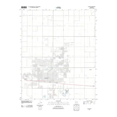
 2013 Clovis2013 Print · USGSCovers Clovis, including Curry County, United States, and other nearby areas
 - 2013 Map of Ned Houk Park, 2013 Print
 2013 Ned Houk Park2013 Print · USGSCovers Clovis, including Claud, Curry County, and other nearby areas
 - 2017 Map of Clovis, 2017 Print
 2017 Clovis2017 Print · USGSCovers Clovis, including Curry County, United States, and other nearby areas
 - 2017 Map of Portair, 2017 Print
 2017 Portair2017 Print · USGSCovers Clovis, including Portair, Gallaher, and other nearby areas
 - 2017 Map of Ned Houk Park, 2017 Print
 2017 Ned Houk Park2017 Print · USGSCovers Clovis, including Claud, Curry County, and other nearby areas
 - 2020 Map of Ned Houk Park, 2020 Print
 2020 Ned Houk Park2020 Print · USGSCovers Clovis, including Claud, Curry County, and other nearby areas
 - 2020 Map of Portair, 2020 Print
 2020 Portair2020 Print · USGSCovers Clovis, including Portair, Gallaher, and other nearby areas
 - 2020 Map of Clovis, 2020 Print
 2020 Clovis2020 Print · USGSCovers Clovis, including Curry County, United States, and other nearby areas
 - 2023 Map of Ned Houk Park, 2023 Print
 2023 Ned Houk Park2023 Print · USGSCurry County in the early twenty-first century remains a landscape of high plains agriculture and structured rural grids north of the city. Genealogists and local historians can trace family land boundaries along Running Water Draw and the small community of Claud.
 - 2023 Map of Portair, 2023 Print
 2023 Portair2023 Print · USGSCurry County's high plains are captured here in the early 2020s, showing the intersection of military operations and rural life. Genealogists and local historians can locate Black Tower Cem and trace the boundaries of Cannon Air Force Base and Portair.
 - 2023 Map of Clovis, 2023 Print
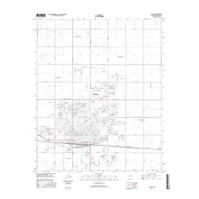
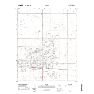 2023 Clovis2023 Print · USGSThe city of Clovis flourishes as a regional hub in the early twenty-first century, defined by its expanding residential grids and vital road networks. Trace the local landscape from the Curry County Courthouse to Greene Lake and the Mission Garden Cem.
End of results
Showing maps 1-23 of 23
Top cities near Clovis
Frequently asked questions
- What are the different types of historical maps available for Clovis?
- What is the oldest map of Clovis?
- Where can I purchase historical maps of Clovis for my home or office?
- Where can I download high-res historical maps of Clovis?
- Are there historical topographic maps available for Clovis?
- Is there historical aerial imagery available for Clovis?
- Where are historical maps of Clovis sourced from?