Old Maps of Harkey Crossing, New Mexico for Genealogy
Trace your family roots with 11 historic maps of Harkey Crossing. These high-res maps reveal old neighborhoods, homesites, landmarks, and streets — helping you uncover where your ancestors lived and how the area evolved over time.
- Explore historic neighborhoods: Identify where your relatives may have lived in the 1800s or 1900s.
- Compare maps over time: Trace the changes in streets, buildings, and landmarks for multi-generational research.
- Perfect for genealogy & ancestry research: Used by family historians and researchers to map out lineage and migration.
These maps are an incredible resource for exploring your personal connection to Harkey Crossing's past.
Harkey Crossing, NM maps
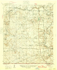
(11)- 1945 Map of Malaga, 1970 Print
 1945 Malaga1970 Print · USGSEddy County ranchlands and river valleys are captured here at the end of the war, as the rail-and-ranch economy shaped southern New Mexico. Genealogists and historians can locate specific family holdings like the Delaware Ranch and Welch Ranch, alongside a vintage Bombing Target.
 - 1946 Map of Malaga
 1946 Malaga1946 Print · USGSSouthern New Mexico ranching and river life are frozen in time just after the war. Researchers can trace family ranch lands like Cottonwood Ranch and Reeves Ranch or locate unique landmarks like the Bombing Target and Harkey Double Mills.
 - 1954 Map of Carlsbad, 1963 Print
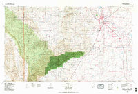
 1954 Carlsbad1963 Print · USGSSoutheastern New Mexico's desert peaks and river valleys appear in this mid-century study of the borderlands. Researchers can locate vanished sites like Sacramento City, trace the Pecos River reservoirs, and explore Carlsbad Caverns.3 unique versions available
 - 1958 Map of Carlsbad
 1958 Carlsbad1958 Print · USGSSoutheastern New Mexico in the mid-1950s shows a landscape of deep desert basins and high forest ranges during a period of steady ranching and early tourism. Researchers can trace the path of the Atchison Topeka and Santa Fe railroad or find vanished locales like Sacramento City (abandoned) and Whites City.2 unique versions available
 - 1979 Map of Carlsbad
 1979 Carlsbad1979 Print · USGSSoutheast New Mexico is captured here in the late seventies, showing the gateway to the caverns and the fertile Pecos Valley. Genealogists can trace family names near Black River Village or Otis, while collectors will find the Atchison Topeka and Santa Fe rail corridor and Avalon Lake clearly detailed.2 unique versions available
 - 1985 Map of Bond Draw
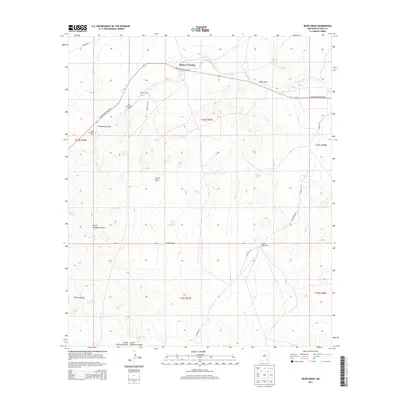
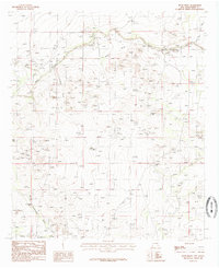 1985 Bond Draw1985 Print · USGSEddy County ranchlands are documented in the mid-1980s, showcasing the essential water infrastructure of the New Mexico desert. Researchers can trace the path of the Black River and locate historic livestock improvements like Beaman Tank or the legacy sites of CCC Tank No 1.
 - 2010 Map of Bond Draw, 2010 Print
 2010 Bond Draw2010 Print · USGSCovers Harkey Crossing, including Eddy County, United States, and other nearby areas
 - 2013 Map of Bond Draw, 2013 Print
 2013 Bond Draw2013 Print · USGSCovers Harkey Crossing, including Eddy County, United States, and other nearby areas
 - 2017 Map of Bond Draw, 2017 Print
 2017 Bond Draw2017 Print · USGSCovers Harkey Crossing, including Eddy County, United States, and other nearby areas
 - 2020 Map of Bond Draw, 2020 Print
 2020 Bond Draw2020 Print · USGSCovers Harkey Crossing, including Eddy County, United States, and other nearby areas
 - 2023 Map of Bond Draw, 2023 Print
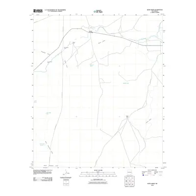
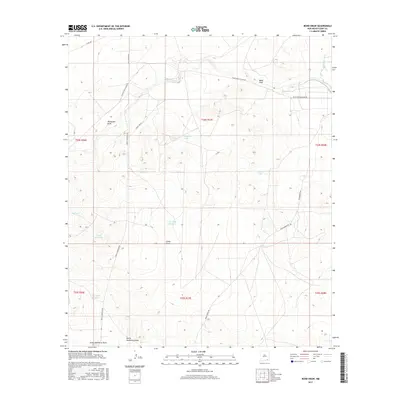
 2023 Bond Draw2023 Print · USGSEddy County ranching lands and desert drainages are detailed in this recent survey. Local researchers can locate the Bounds Family Cem and trace seasonal water management through features like Beaman Tank and CCC Tank Number 2.
End of results
Showing maps 1-11 of 11
Top cities near Harkey Crossing
Frequently asked questions
- What are the different types of historical maps available for Harkey Crossing?
- What is the oldest map of Harkey Crossing?
- Where can I purchase historical maps of Harkey Crossing for my home or office?
- Where can I download high-res historical maps of Harkey Crossing?
- Are there historical topographic maps available for Harkey Crossing?
- Is there historical aerial imagery available for Harkey Crossing?
- Where are historical maps of Harkey Crossing sourced from?