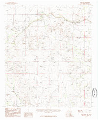
1985 Map of Bond Draw
USGS Topo · Published 1985About this map
The Black River winds through this arid section of Eddy County, serving as a primary water source for a landscape defined by its intricate drainage networks. This 1985 provisional survey, based on 1970s field data, illustrates the vital infrastructure of the ranching West, where numerous livestock waterings like Beaman Tank and Double Tank are scattered across the terrain.
Find a feature on this map
14 named features on this map. Tap any name to fly to it.
Don’t see what you’re looking for? This feature index may not catch every label — zoom into the map to look around manually.
Map Details
Editions of this 1985 Bond Draw Map
This is the sole edition of this map. No revisions or reprints were ever made.
Other maps of this area

1939 · Carlsbad
USGS Topo · 1:62,500

1943 · Carlsbad
USGS Topo · 1:62,500

1943 · West Carlsbad
USGS Topo · 1:62,500

1945 · West Carlsbad
USGS Topo · 1:62,500

1945 · Carlsbad Caverns East
USGS Topo · 1:62,500

1945 · Malaga
USGS Topo · 1:62,500

1946 · Malaga
USGS Topo · 1:62,500

1947 · Carlsbad Caverns East
USGS Topo · 1:62,500

1954 · Carlsbad
USGS Topo · 1:250,000

1958 · Carlsbad
USGS Topo · 1:250,000