Old Maps of Illinois Camp, New Mexico for Hiking & Exploration
Hike through history with 10 historic maps of Illinois Camp. Explore old trails, ghost towns, and forgotten backroads — perfect for outdoor adventurers and local explorers.
- Rediscover forgotten places: Map out old mining camps, roads, and footpaths that no longer exist on modern maps.
- Layer with modern tools: Combine with LiDAR or satellite views to plan hikes through historical terrain.
- Made for exploration: Popular among hikers, overlanders, and local history lovers.
Use these maps to find adventure and explore the hidden past of Illinois Camp.
Illinois Camp, NM maps
(10)- 1943 Map of Oil City
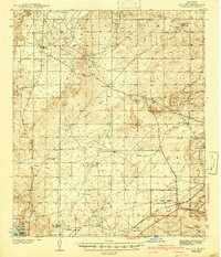 1943 Oil City1943 Print · USGSEddy County, New Mexico, is captured here in the early 1940s, revealing a landscape of scattered ranches and emerging industry. Researchers can locate family landmarks like Angel Ranch and Mullman Ranch or trace the early U. S. Potash Reserve.3 unique versions available
 - 1954 Map of Carlsbad, 1963 Print
 1954 Carlsbad1963 Print · USGSSoutheastern New Mexico's desert peaks and river valleys appear in this mid-century study of the borderlands. Researchers can locate vanished sites like Sacramento City, trace the Pecos River reservoirs, and explore Carlsbad Caverns.3 unique versions available
 - 1958 Map of Carlsbad
 1958 Carlsbad1958 Print · USGSSoutheastern New Mexico in the mid-1950s shows a landscape of deep desert basins and high forest ranges during a period of steady ranching and early tourism. Researchers can trace the path of the Atchison Topeka and Santa Fe railroad or find vanished locales like Sacramento City (abandoned) and Whites City.2 unique versions available
 - 1978 Map of Artesia, 1979 Print
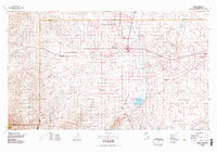 1978 Artesia1979 Print · USGSThe Pecos River valley in southeastern New Mexico comes alive in the late seventies, showing the intersection of rail-line agriculture and oil-field growth. Trace the path of the Atchison Topeka and Santa Fe through settlements like Dayton, Espuela, and Lakewood near Lake McMillan.
 - 1985 Map of Illinois Camp
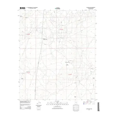
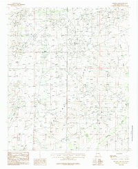 1985 Illinois Camp1985 Print · USGSEddy County, New Mexico, is shown in the mid-eighties during a period of steady industrial utility and resource extraction. Genealogists and historians can trace the footprint of Illinois Camp, the substation, and remote landmarks like West Well.
 - 2010 Map of Illinois Camp, 2010 Print
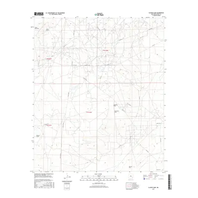
 2010 Illinois Camp2010 Print · USGSCovers Illinois Camp, including Eddy County, United States, and other nearby areas
 - 2013 Map of Illinois Camp, 2013 Print
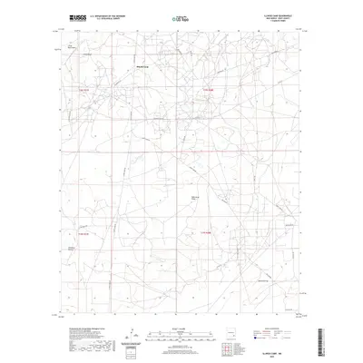
 2013 Illinois Camp2013 Print · USGSCovers Illinois Camp, including Eddy County, United States, and other nearby areas
 - 2017 Map of Illinois Camp, 2017 Print
 2017 Illinois Camp2017 Print · USGSCovers Illinois Camp, including Eddy County, United States, and other nearby areas
 - 2020 Map of Illinois Camp, 2020 Print
 2020 Illinois Camp2020 Print · USGSCovers Illinois Camp, including Eddy County, United States, and other nearby areas
 - 2023 Map of Illinois Camp, 2023 Print
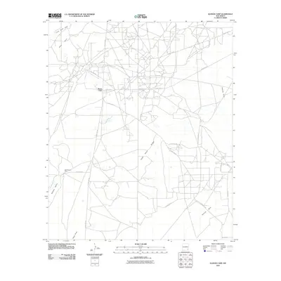
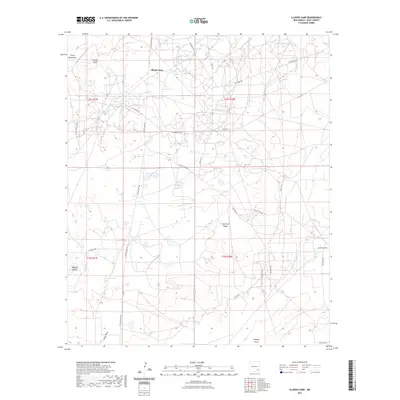 2023 Illinois Camp2023 Print · USGSEddy County’s high desert reaches and ranching heritage are on display in this contemporary survey of the area surrounding Illinois Camp. Modern researchers can trace local landmarks like Chalk Bluff, Fade Away Ridge, and the drainage patterns of Angel Draw.
End of results
Showing maps 1-10 of 10
Top cities near Illinois Camp
Frequently asked questions
- What are the different types of historical maps available for Illinois Camp?
- What is the oldest map of Illinois Camp?
- Where can I purchase historical maps of Illinois Camp for my home or office?
- Where can I download high-res historical maps of Illinois Camp?
- Are there historical topographic maps available for Illinois Camp?
- Is there historical aerial imagery available for Illinois Camp?
- Where are historical maps of Illinois Camp sourced from?