
1943 Map of Oil City
USGS Topo · Published 1943About this map
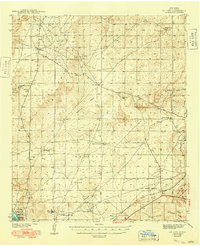
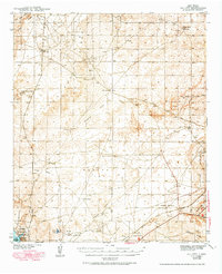
Oil City serves as a focal point in this New Mexico landscape, which was surveyed by Max J. Gleissner and others during the late 1930s. The region is defined by a series of significant drainage systems and flat basins, including Palmilla Draw, Angel Draw, and the Saladar Flat. Economic interests of the era are clearly visible through the large U. S. Potash Reserve and the Atchison Topeka and Santa Fe railroad line cutting through the southern portion of the quadrangle.
Find a feature on this map
30 named features on this map. Tap any name to fly to it.
Don’t see what you’re looking for? This feature index may not catch every label — zoom into the map to look around manually.
Map Details
Editions of this 1943 Oil City Map
Other maps of this area

1939 · Carlsbad
USGS Topo · 1:62,500

1939 · Nash Draw
USGS Topo · 1:62,500

1942 · Clayton Basin
USGS Topo · 1:62,500

1943 · Carlsbad
USGS Topo · 1:62,500

1943 · Clayton Basin
USGS Topo · 1:62,500

1943 · Nash Draw
USGS Topo · 1:62,500

1943 · West Carlsbad
USGS Topo · 1:62,500

1945 · West Carlsbad
USGS Topo · 1:62,500

1954 · Carlsbad
USGS Topo · 1:250,000

1954 · Hobbs
USGS Topo · 1:250,000