Old Maps of Whites City, New Mexico for Academic Research
Study the evolution of Whites City with 11 high-resolution historic maps. Whether you're teaching, researching, or modeling changes in land use, these maps provide essential visual documentation of urban, environmental, and geographic change.
- Analyze long-term change: Track patterns in development, transportation, and natural features.
- Ideal for environmental or urban studies: Support academic projects with primary historical map data.
- Use in the classroom or lab: Educators and researchers rely on these maps to bring historical context to life.
These maps are a powerful tool for teaching, research, and visualizing how Whites City has changed over the decades.
Whites City, NM maps
(11)- 1945 Map of Carlsbad Caverns East, 1961 Print
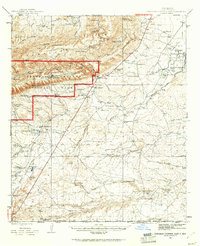 1945 Carlsbad Caverns East1961 Print · USGSSoutheast New Mexico in the mid-1940s reveals a rugged landscape of ranching outposts and high desert canyons. Genealogists and researchers can locate family sites like the W W Smith & Sons Ranch, explore the early footprint of White City, or find the Julian Smith Cem.2 unique versions available
 - 1947 Map of Carlsbad Caverns East
 1947 Carlsbad Caverns East1947 Print · USGSThe Guadalupe Mountains and the high desert of Eddy County are captured here just after the war. Researchers can trace early ranching boundaries and landmarks like White City, the Cavern Entrance, and a remote Bombing Target.
 - 1954 Map of Carlsbad, 1963 Print
 1954 Carlsbad1963 Print · USGSSoutheastern New Mexico's desert peaks and river valleys appear in this mid-century study of the borderlands. Researchers can locate vanished sites like Sacramento City, trace the Pecos River reservoirs, and explore Carlsbad Caverns.3 unique versions available
 - 1958 Map of Carlsbad
 1958 Carlsbad1958 Print · USGSSoutheastern New Mexico in the mid-1950s shows a landscape of deep desert basins and high forest ranges during a period of steady ranching and early tourism. Researchers can trace the path of the Atchison Topeka and Santa Fe railroad or find vanished locales like Sacramento City (abandoned) and Whites City.2 unique versions available
 - 1979 Map of Carlsbad
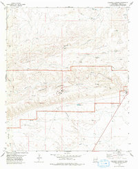
 1979 Carlsbad1979 Print · USGSSoutheast New Mexico is captured here in the late seventies, showing the gateway to the caverns and the fertile Pecos Valley. Genealogists can trace family names near Black River Village or Otis, while collectors will find the Atchison Topeka and Santa Fe rail corridor and Avalon Lake clearly detailed.2 unique versions available
 - 1979 Map of Carlsbad Caverns
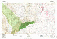
 1979 Carlsbad Caverns1979 Print · USGSEddy County in the 1970s is centered on the iconic gateway of Whites City and the surrounding high desert plateau. Researchers can trace the early tourism footprint at the Visitor Center and Cavern Entrance, or locate remote landmarks like Baldridge Well and Chimney Cave.2 unique versions available
 - 2010 Map of Carlsbad Caverns, 2010 Print
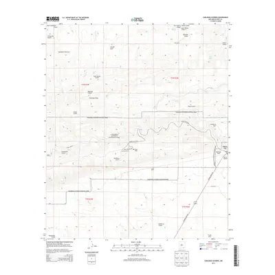
 2010 Carlsbad Caverns2010 Print · USGSCovers Whites City, including Eddy County, United States, and other nearby areas
 - 2013 Map of Carlsbad Caverns, 2013 Print
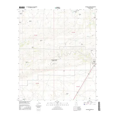
 2013 Carlsbad Caverns2013 Print · USGSCovers Whites City, including Eddy County, United States, and other nearby areas
 - 2017 Map of Carlsbad Caverns, 2017 Print
 2017 Carlsbad Caverns2017 Print · USGSCovers Whites City, including Eddy County, United States, and other nearby areas
 - 2020 Map of Carlsbad Caverns, 2020 Print
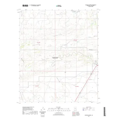 2020 Carlsbad Caverns2020 Print · USGSCovers Whites City, including Eddy County, United States, and other nearby areas
 - 2023 Map of Carlsbad Caverns, 2023 Print
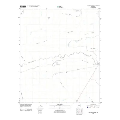
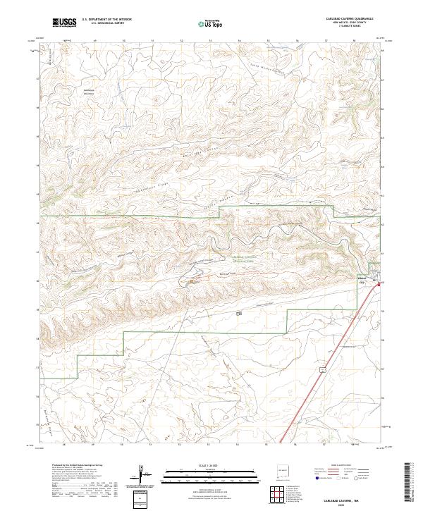 2023 Carlsbad Caverns2023 Print · USGSThe gateway to the Guadalupe Mountains is captured here in recent years, centered on the protected wilderness and cavern systems. Genealogists and historians can trace the roads and trails serving Whites City, including the Old Guano Road Trl and the winding Carlsbad Cavern Highway.
End of results
Showing maps 1-11 of 11
Top cities near Whites City
Frequently asked questions
- What are the different types of historical maps available for Whites City?
- What is the oldest map of Whites City?
- Where can I purchase historical maps of Whites City for my home or office?
- Where can I download high-res historical maps of Whites City?
- Are there historical topographic maps available for Whites City?
- Is there historical aerial imagery available for Whites City?
- Where are historical maps of Whites City sourced from?