Old Maps of Los Tanos, New Mexico for Academic Research
Study the evolution of Los Tanos with 9 high-resolution historic maps. Whether you're teaching, researching, or modeling changes in land use, these maps provide essential visual documentation of urban, environmental, and geographic change.
- Analyze long-term change: Track patterns in development, transportation, and natural features.
- Ideal for environmental or urban studies: Support academic projects with primary historical map data.
- Use in the classroom or lab: Educators and researchers rely on these maps to bring historical context to life.
These maps are a powerful tool for teaching, research, and visualizing how Los Tanos has changed over the decades.
Los Tanos, NM maps
(9)- 1954 Map of Fort Sumner, 1964 Print
 1954 Fort Sumner1964 Print · USGSEast-central New Mexico's ranching and rail heartland is captured here in the mid-1950s, centered on the strategic junctions of the high plains. Researchers can trace the development of early highway networks and rail towns like Vaughn, Fort Sumner, and the copper operations at Guadalupe Mine.3 unique versions available
 - 1958 Map of Fort Sumner
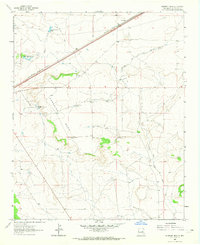
 1958 Fort Sumner1958 Print · USGSEast-central New Mexico in the mid-fifties is captured here as a sprawling landscape of high mesas and cattle ranching. Researchers can trace the convergence of the Southern Pacific railroad at Vaughn and locate family landmarks like Borica School or Marquez Ranch.
 - 1963 Map of Sunshine Mesa, 1965 Print
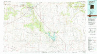
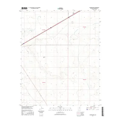
 1963 Sunshine Mesa1965 Print · USGSGuadalupe County ranch lands and rail corridors are captured here in the early sixties, showing the high-desert terrain before modern developments. Researchers can trace historical boundaries like the East Boundary Jose Perea Grant or locate specific ranching infrastructure at Moorhouse Ranch and Los Tanos.
 - 1984 Map of Santa Rosa, 1992 Print
 1984 Santa Rosa1992 Print · USGSEast-central New Mexico is captured here in the mid-1980s, centered on the strategic river crossing at Santa Rosa. Researchers can trace family-named landforms and small outposts like Puerto de Luna, Pastura, and the varied arroyos feeding into Lake Sumner.
 - 2010 Map of Sunshine Mesa, 2010 Print
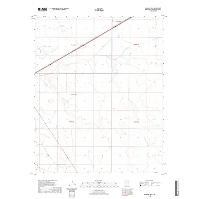
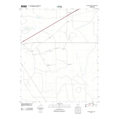 2010 Sunshine Mesa2010 Print · USGSCovers Los Tanos, including Guadalupe County, United States, and other nearby areas
 - 2013 Map of Sunshine Mesa, 2013 Print
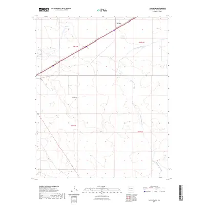
 2013 Sunshine Mesa2013 Print · USGSCovers Los Tanos, including Guadalupe County, United States, and other nearby areas
 - 2017 Map of Sunshine Mesa, 2017 Print
 2017 Sunshine Mesa2017 Print · USGSCovers Los Tanos, including Guadalupe County, United States, and other nearby areas
 - 2020 Map of Sunshine Mesa, 2020 Print
 2020 Sunshine Mesa2020 Print · USGSCovers Los Tanos, including Guadalupe County, United States, and other nearby areas
 - 2023 Map of Sunshine Mesa, 2023 Print
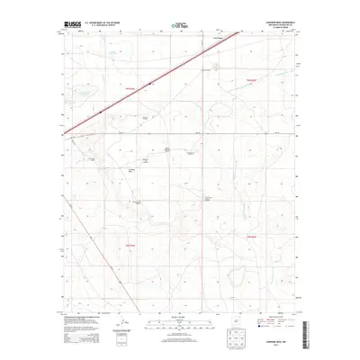
 2023 Sunshine Mesa2023 Print · USGSGuadalupe County's high-desert ranching lands are captured here in the early twenty-first century. Researchers can trace the rugged topography of Sunshine Mesa and locate water sources like Nine Hundred Acre Lake and the settlement at Los Tanos.
End of results
Showing maps 1-9 of 9
Top cities near Los Tanos
Frequently asked questions
- What are the different types of historical maps available for Los Tanos?
- What is the oldest map of Los Tanos?
- Where can I purchase historical maps of Los Tanos for my home or office?
- Where can I download high-res historical maps of Los Tanos?
- Are there historical topographic maps available for Los Tanos?
- Is there historical aerial imagery available for Los Tanos?
- Where are historical maps of Los Tanos sourced from?