2000s (21st Century) Maps of Mouser Place, New Mexico
Explore 5 historic maps of Mouser Place from the 2000s (21st Century). These maps offer a rare glimpse into what life looked like during the 2000s — showing old roads, neighborhoods, homes, and landmarks that have changed or disappeared over time.
Whether you're researching your family's past, planning a metal detecting trip, or studying how Mouser Place's landscape evolved across the 2000s, these high-resolution maps are a powerful tool for exploring the history of this region.
- Focus on a specific era: All maps on this page are from the 2000s, giving you a focused view of this time period.
- See what’s changed: Compare century-old streets, trails, and buildings to today's modern landscape using overlays and satellite layers.
- Research with precision: Use these maps for genealogy, historical research, land use analysis, or educational projects.
- View, download, or print: Maps are fully viewable online in high resolution, and can be downloaded or printed for your own records.
Start exploring Mouser Place's history through authentic maps from the 2000s. This is your window into the past.
Mouser Place, NM maps
(5)- 2010 Map of Indian Peak, 2010 Print
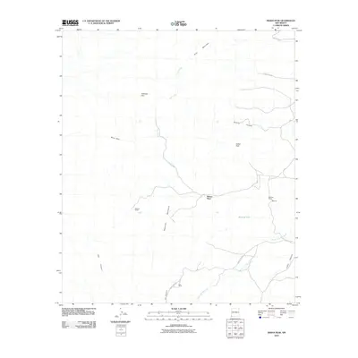 2010 Indian Peak2010 Print · USGSCovers Mouser Place, including Hidalgo County, United States, and other nearby areas
 - 2013 Map of Indian Peak, 2013 Print
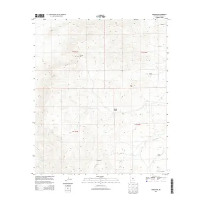 2013 Indian Peak2013 Print · USGSCovers Mouser Place, including Hidalgo County, United States, and other nearby areas
 - 2017 Map of Indian Peak, 2017 Print
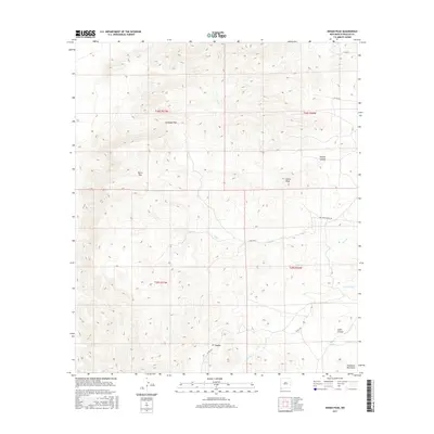 2017 Indian Peak2017 Print · USGSCovers Mouser Place, including Hidalgo County, United States, and other nearby areas
 - 2020 Map of Indian Peak, 2020 Print
 2020 Indian Peak2020 Print · USGSCovers Mouser Place, including Hidalgo County, United States, and other nearby areas
 - 2023 Map of Indian Peak, 2023 Print
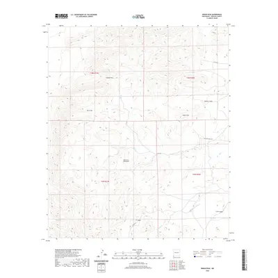
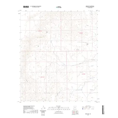 2023 Indian Peak2023 Print · USGSHidalgo County's high-desert landscape in the early 2020s remains defined by its sparse water sources and strategic mountain passes. Researchers can trace the drainages of Big Creek and locate historic landmarks like Cottonwood Spring and Antelope Pass.
End of results
Showing maps 1-5 of 5
Top cities near Mouser Place
Frequently asked questions
- What are the different types of historical maps available for Mouser Place?
- What is the oldest map of Mouser Place?
- Where can I purchase historical maps of Mouser Place for my home or office?
- Where can I download high-res historical maps of Mouser Place?
- Are there historical topographic maps available for Mouser Place?
- Is there historical aerial imagery available for Mouser Place?
- Where are historical maps of Mouser Place sourced from?