Old Maps of Mouser Place, New Mexico for Academic Research
Study the evolution of Mouser Place with 13 high-resolution historic maps. Whether you're teaching, researching, or modeling changes in land use, these maps provide essential visual documentation of urban, environmental, and geographic change.
- Analyze long-term change: Track patterns in development, transportation, and natural features.
- Ideal for environmental or urban studies: Support academic projects with primary historical map data.
- Use in the classroom or lab: Educators and researchers rely on these maps to bring historical context to life.
These maps are a powerful tool for teaching, research, and visualizing how Mouser Place has changed over the decades.
Mouser Place, NM maps
(13)- 1918 Map of Pratt, 1971 Print
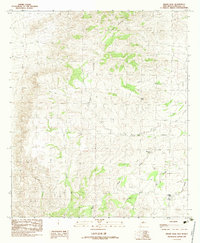
 1918 Pratt1971 Print · USGSThe Animas Valley at the end of the Great War was a landscape defined by the arrival of the railroad and the establishment of remote ranching outposts. Genealogists and researchers can trace family-named sites like Mouser Place, Tase Golman, and the Old Maddox School.
 - 1919 Map of Pratt
 1919 Pratt1919 Print · USGSThe Animas Valley and Peloncillo Mountains meet in this early twentieth-century survey of Grant County ranching country. Genealogists and historians can trace family-named outposts like the Maloney Ranch, find the Old Maddox School, and follow the Borderland Highway corridor.
 - 1955 Map of Douglas
 1955 Douglas1955 Print · USGSThe Arizona and New Mexico borderlands come into focus in the mid-1950s, highlighting the mining and ranching hubs of the Desert Southwest. Genealogists and historians can trace the foundations of Bisbee, the operations at Hachita Mine, and rural landmarks like the Double Adobe School.2 unique versions available
 - 1959 Map of Douglas, 1968 Print
 1959 Douglas1968 Print · USGSSoutheast Arizona and southwest New Mexico meet at the border in the late fifties, showcasing a high-desert landscape defined by industrial copper mining and ranching. Genealogists and historians can trace the foundations of Bisbee, locate the Lavender Pit, and follow the Southern Pacific line through Douglas.4 unique versions available
 - 1961 Map of Douglas
 1961 Douglas1961 Print · USGSThe Arizona-Mexico borderlands come into focus at mid-century, detailing the vital mining and ranching hubs of Cochise County and southwest New Mexico. Genealogists and historians can trace the Southern Pacific Railroad through Bisbee and Douglas, or locate early sites like the Old Hachita Mine and Rucker School.
 - 1964 Map of Douglas
 1964 Douglas1964 Print · USGSThe Arizona-New Mexico borderlands in the early sixties reveal a landscape of deep-rooted copper mining and high-desert ranching. Genealogists and researchers can trace the legacy of settlements like Pirtleville, the industrial site of the Copper Smelter, and remnants of the Cochise Mines.
 - 1982 Map of Indian Peak, 1983 Print
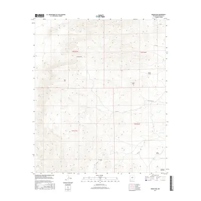
 1982 Indian Peak1983 Print · USGSHidalgo County, New Mexico, was documented in the late 1970s as a landscape of high summits and essential water tanks. Researchers can trace historic routes through Burro Pass and locate remote water sources like Birtrong Tank and Mud Spring.
 - 1983 Map of Animas
 1983 Animas1983 Print · USGSSouthern New Mexico’s Bootheel remains a landscape of high-desert ranching and remote mining districts during the early eighties. Researchers can trace the Southern Pacific Railroad past historic hubs like Animas and Hachita or locate mining sites such as the Gillespie Mine.
 - 2010 Map of Indian Peak, 2010 Print
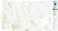
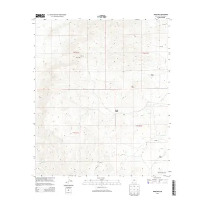
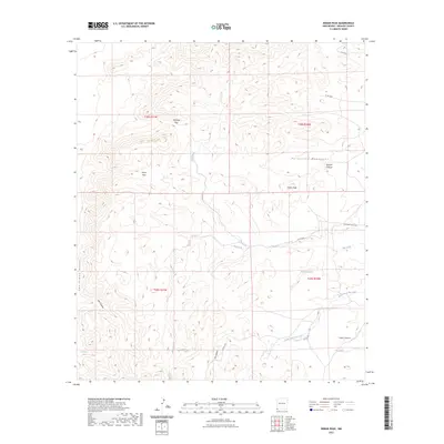
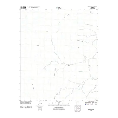 2010 Indian Peak2010 Print · USGSCovers Mouser Place, including Hidalgo County, United States, and other nearby areas
 - 2013 Map of Indian Peak, 2013 Print
 2013 Indian Peak2013 Print · USGSCovers Mouser Place, including Hidalgo County, United States, and other nearby areas
 - 2017 Map of Indian Peak, 2017 Print
 2017 Indian Peak2017 Print · USGSCovers Mouser Place, including Hidalgo County, United States, and other nearby areas
 - 2020 Map of Indian Peak, 2020 Print
 2020 Indian Peak2020 Print · USGSCovers Mouser Place, including Hidalgo County, United States, and other nearby areas
 - 2023 Map of Indian Peak, 2023 Print
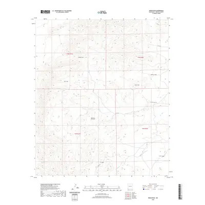
 2023 Indian Peak2023 Print · USGSHidalgo County's high-desert landscape in the early 2020s remains defined by its sparse water sources and strategic mountain passes. Researchers can trace the drainages of Big Creek and locate historic landmarks like Cottonwood Spring and Antelope Pass.
End of results
Showing maps 1-13 of 13
Top cities near Mouser Place
Frequently asked questions
- What are the different types of historical maps available for Mouser Place?
- What is the oldest map of Mouser Place?
- Where can I purchase historical maps of Mouser Place for my home or office?
- Where can I download high-res historical maps of Mouser Place?
- Are there historical topographic maps available for Mouser Place?
- Is there historical aerial imagery available for Mouser Place?
- Where are historical maps of Mouser Place sourced from?