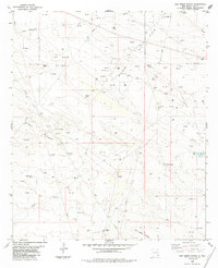
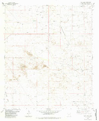
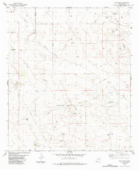
1980s Maps of Lea County, New Mexico
Explore 27 historic maps of Lea County from the 1980s. These maps offer a rare glimpse into what life looked like during the 1980s — showing old roads, neighborhoods, homes, and landmarks that have changed or disappeared over time.
Whether you're researching your family's past, planning a metal detecting trip, or studying how Lea County's landscape evolved across the 1980s, these high-resolution maps are a powerful tool for exploring the history of this region.
- Focus on a specific era: All maps on this page are from the 1980s, giving you a focused view of this time period.
- See what’s changed: Compare century-old streets, trails, and buildings to today's modern landscape using overlays and satellite layers.
- Research with precision: Use these maps for genealogy, historical research, land use analysis, or educational projects.
- View, download, or print: Maps are fully viewable online in high resolution, and can be downloaded or printed for your own records.
Start exploring Lea County's history through authentic maps from the 1980s. This is your window into the past.
Lea County, NM maps
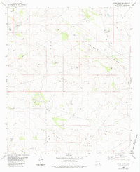
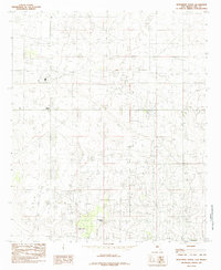
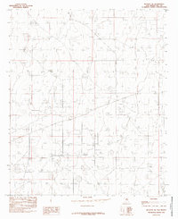
(27)- 1984 Map of Oil Center
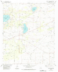
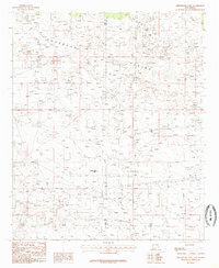
 1984 Oil Center1984 Print · USGSThe high desert of Lea County is captured here during the 1980s energy boom, centered on the settlement of Oil Center. Researchers can trace the extensive oil and gas infrastructure across the Monument Jal Oil Field, locating named sites like the Scarbrough Well and Rock Lake Reservoir.
 - 1984 Map of Lea
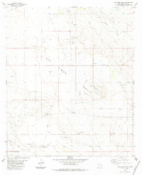
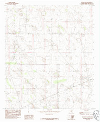
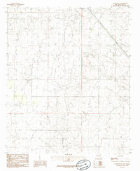
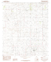
 1984 Lea1984 Print · USGSSoutheastern New Mexico's energy corridor is captured here in the mid-1980s, during a period of intensive petroleum development. Researchers can trace the industrial footprint of the Lea Oil Field and locate landmarks like the Pumping Sta Radio Tower and the settlement of Lea.
 - 1984 Map of Ironhouse Well
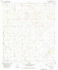
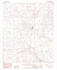
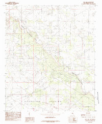
 1984 Ironhouse Well1984 Print · USGSThe high plains of Lea County met industrial expansion in the late seventies and early eighties as ranching outposts shared the land with growing energy fields. Researchers can trace the legacy of the oil boom and early settlements through landmarks like Friar Camp, Ironhouse Well, and the Quail Ridge Oil and Gas Field.
 - 1984 Map of Tip Top Wells
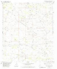
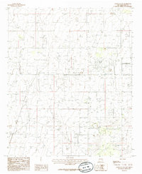
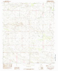
 1984 Tip Top Wells1984 Print · USGSLea County's high desert was a hub of energy development and ranching during the late 1970s. Trace the industrial landscape of the Cruz Oil Field and historic landmarks like Brinninstool Ranch and the namesake Tip Top Wells.
 - 1984 Map of Grama Ridge
 1984 Grama Ridge1984 Print · USGSLea County's high desert landscape comes into focus during the late seventies and early eighties, showing a terrain defined by energy exploration and ranching. Researchers can trace the water sources and infrastructure vital to this region, from Eaves Wells and Standard Wells to the extensive Pipeline corridors.
 - 1984 Map of San Simon Sink
 1984 San Simon Sink1984 Print · USGSLea County in the early eighties was defined by its arid landscape and the reach of the oil industry. Researchers can trace the industrial footprint across the San Simon Swale via the network of pipelines, Gravel Pits, and a Radio Tower.
 - 1984 Map of Bootleg Ridge
 1984 Bootleg Ridge1984 Print · USGSSoutheastern New Mexico's high desert was a hub of energy production in the early eighties. Genealogists and historians can trace the industrial footprint of the Oil Field and Pipeline networks alongside natural landmarks like Bootleg Ridge and Hayfield Tank.
 - 1984 Map of Laguna Gatuna NW
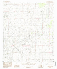
 1984 Laguna Gatuna NW1984 Print · USGSLea County petroleum production is at its peak in the mid-1980s, revealing a landscape transformed by heavy industry. Genealogists and historians can trace the infrastructure of the South Corbin Oil and Gas Field and remote Jeep Trails across the Querecho Plains.
 - 1984 Map of Laguna Gatuna
 1984 Laguna Gatuna1984 Print · USGSThe high desert of the New Mexico state line is shown in the mid-1980s as a hub of energy production and salt basins. Researchers can trace the industrial footprint of the OIL FIELD and GAS FIELD alongside isolated landmarks like Salt Lake Ranch and Three Wells Windmill.
 - 1984 Map of San Simon Ranch
 1984 San Simon Ranch1984 Print · USGSLea County's oil and gas landscape is captured here in the mid-1980s, showcasing the expansion of the Permian Basin's energy infrastructure. Researchers can locate named water sources like Christmas Well and Doodlebug Well or trace the legacy of the San Simon Ranch.
 - 1984 Map of East Lake
 1984 East Lake1984 Print · USGSIn the early 1980s, the Lea County landscape was a busy hub of energy production and arid desert terrain. Researchers can trace petroleum infrastructure through the Monument Jal Oil Field and identify landmarks like East Lake and the San Simon Swale.
 - 1984 Map of The Divide
 1984 The Divide1984 Print · USGSThe high plains of the New Mexico borderlands are captured here in the mid-1980s, showcasing a landscape defined by energy and water. Researchers can trace the development of the Gas Field or locate historic watering spots like Rockbottom Tank and School Section Tanks.
 - 1985 Map of Monument North
 1985 Monument North1985 Print · USGSLea County's industrial and ranching landscape is captured here in the mid-eighties, showing a region adapted for energy production. Researchers can locate the community of Monument, the essential Monument Springs, and industrial sites like the local Gas Plant.
 - 1985 Map of Buckeye NW
 1985 Buckeye NW1985 Print · USGSLea County ranchlands and industrial outposts are documented here in the mid-1980s, showcasing the region's resource-driven infrastructure. Researchers can trace the sprawling Aqueduct system and find localized landmarks like Dean Ranch and Maljamar.
 - 1985 Map of Williams Sink
 1985 Williams Sink1985 Print · USGSSoutheastern New Mexico's industrial landscape is captured in the mid-eighties as the potash and oil fields shaped the terrain. Researchers can locate infrastructure like Mine Shafts, Tailings, and the expansive Laguna Plata.
 - 1985 Map of Lovington NW
 1985 Lovington NW1985 Print · USGSLea County's petroleum landscape is captured in the mid-1980s, showing the extensive infrastructure of the New Mexico oil patch. Researchers can trace the development of the Eidson Oil Field and the layout of the Municipal Airport.
 - 1985 Map of Greenwood Lake
 1985 Greenwood Lake1985 Print · USGSThe Querecho Plains of New Mexico are captured in the mid-1980s, showcasing a desert landscape heavily shaped by energy extraction. Researchers can trace the sprawling infrastructure of the Oil and Gas Field and locate landmarks like Greenwood Lake.
 - 1985 Map of Lovington SE
 1985 Lovington SE1985 Print · USGSThe High Plains of southeastern New Mexico are captured during a period of intensive energy development in the mid-1980s. Local researchers can trace the extensive footprint of the regional Oil Field and find industrial landmarks like the western Gravel Pit.
 - 1985 Map of Lovington SW
 1985 Lovington SW1985 Print · USGSLea County's industrial high plains are captured here in the mid-eighties as resource extraction and water management reshaped the land. Researchers can trace the path of an Aqueduct and locate specific sites like the Gravel Pit among the local Field grids.
 - 1985 Map of Ironhouse Draw
 1985 Ironhouse Draw1985 Print · USGSLea County's rugged escarpment and energy infrastructure are captured in the mid-eighties just as the regional oil economy was maturing. Researchers can trace the industrial footprint across Mescalero Ridge and locate specific wells within the Oil Field near Pearl Valley.
 - 1985 Map of Buckeye NE
 1985 Buckeye NE1985 Print · USGSLea County in the mid-1980s reveals a landscape meticulously organized for resource extraction and water transit. Researchers can trace the sprawling network of the Oil Field, the path of a major Aqueduct, and localized industry at the Gravel Pit.
 - 1985 Map of Monument South
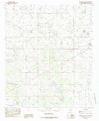
 1985 Monument South1985 Print · USGSThe high plains of Lea County in the mid-1980s are defined by an intensive petroleum landscape surrounding the settlement of Monument. Researchers can trace the sprawling Oil Field infrastructure and the natural course of Monument Draw across this industrial grid.
 - 1985 Map of Dog Lake
 1985 Dog Lake1985 Print · USGSLea County's industrial landscape is captured in the mid-1980s as oil extraction reshaped the plains. Trace the infrastructure of Graham Field and the dramatic escarpment of Mescalero (The Caprock) Ridge.
 - 1985 Map of Maljamar
 1985 Maljamar1985 Print · USGSThe energy-rich Permian Basin landscape of the mid-eighties is captured here along the Eddy Co and Lea Co line. Historians can trace the industrial footprint of the Oil Field and the Maljamar settlement beneath Mescalero Ridge.
 - 1985 Map of Monument SW
 1985 Monument SW1985 Print · USGSSoutheast New Mexico’s High Plains are captured here in the mid-1980s as industrial land use began to reshape the Llano Estacado. Researchers can trace the natural drainage of Monument Draw and study the subtle terrain of this Lea County landscape.
Showing maps 1-25 of 27
Top cities of Lea County
- Hobbs historical maps
- Lovington historical maps
- Eunice historical maps
- Jal historical maps
- Tatum historical maps
Frequently asked questions
- What are the different types of historical maps available for Lea County?
- What is the oldest map of Lea County?
- Where can I purchase historical maps of Lea County for my home or office?
- Where can I download high-res historical maps of Lea County?
- Are there historical topographic maps available for Lea County?
- Is there historical aerial imagery available for Lea County?
- Where are historical maps of Lea County sourced from?