2020s Maps of Lea County, New Mexico
Explore 162 historic maps of Lea County from the 2020s. These maps offer a rare glimpse into what life looked like during the 2020s — showing old roads, neighborhoods, homes, and landmarks that have changed or disappeared over time.
Whether you're researching your family's past, planning a metal detecting trip, or studying how Lea County's landscape evolved across the 2020s, these high-resolution maps are a powerful tool for exploring the history of this region.
- Focus on a specific era: All maps on this page are from the 2020s, giving you a focused view of this time period.
- See what’s changed: Compare century-old streets, trails, and buildings to today's modern landscape using overlays and satellite layers.
- Research with precision: Use these maps for genealogy, historical research, land use analysis, or educational projects.
- View, download, or print: Maps are fully viewable online in high resolution, and can be downloaded or printed for your own records.
Start exploring Lea County's history through authentic maps from the 2020s. This is your window into the past.
Lea County, NM maps
(162)- 2020 Map of Monument North, 2020 Print
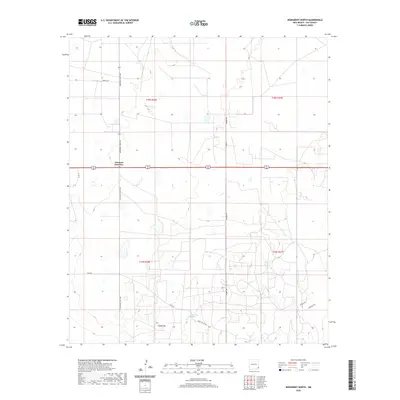 2020 Monument North2020 Print · USGSLea County's High Plains are captured here in the contemporary era, centered on the strategic hub of Arkansas Junction. Genealogists and local historians can trace the rural road network including Pearl Valley Rd and landmarks like Monument Springs.
 - 2020 Map of Laguna Gatuna NW, 2020 Print
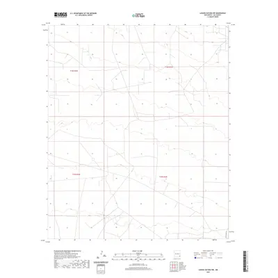 2020 Laguna Gatuna NW2020 Print · USGSThe high desert of Lea County in 2020 shows a landscape shaped by ranching and resource management. Researchers can trace the layout of the Public Land Survey System across T18S R33E or follow the path of Smith Ranch Rd through the basin.
 - 2020 Map of Buckeye, 2020 Print
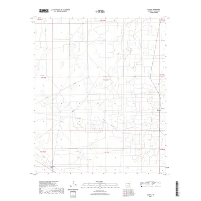 2020 Buckeye2020 Print · USGSLea County's high plains are documented here in the early twenty-first century, showing the intersection of ranching life and energy infrastructure. Researchers can trace local routes like Querecho Rd and Williams RD or locate the Mescalero Ridge escarpment.
 - 2020 Map of Javelina Basin, 2020 Print
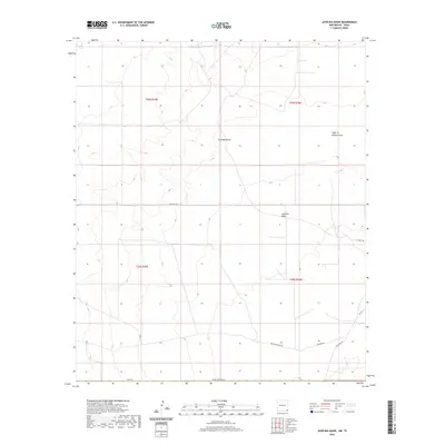 2020 Javelina Basin2020 Print · USGSThis high desert corner of Lea County was surveyed in the late 2010s, revealing a landscape defined by seasonal watercourses and remote ranching access. Researchers can trace land use patterns via Beckham Ranch Rd and explore landmarks like Javelina Basin and Croft Tank.
 - 2020 Map of The Divide, 2020 Print
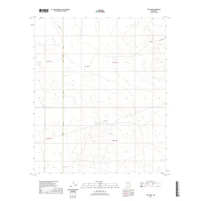 2020 The Divide2020 Print · USGSLea County's high desert landscape is recorded here in the early twenty-first century, showing the critical water infrastructure of the region. Researchers can trace the placement of vital livestock water sources like Rockbottom Tank and Lost Tank near the prominent ridge of The Divide.
 - 2020 Map of Humble City, 2020 Print
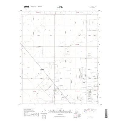 2020 Humble City2020 Print · USGSThe northern reaches of the Llano Estacado near Hobbs are captured here during a period of steady institutional and residential growth. Genealogists and local researchers can trace the vicinity of Knowles, the Knowles Cem, and Humble City alongside modern developments like the Industrial Airpark.
 - 2020 Map of Rattlesnake Canyon, 2020 Print
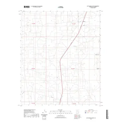 2020 Rattlesnake Canyon2020 Print · USGSLea County's high plains are documented in the modern era as they balance industrial infrastructure with the natural landscape. Researchers can trace the development of Maypens and find local landmarks like Rattlesnake Canyon and the seasonal Monument Draw.
 - 2020 Map of Paduca Breaks NW, 2020 Print
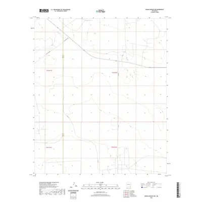 2020 Paduca Breaks NW2020 Print · USGSSoutheast New Mexico at the edge of the Llano Estacado shows a landscape organized by section lines and remote ranch roads. Researchers can trace the sparse rural infrastructure along the county line, from Jack Tank to the junctions of Buck Johnson Rd and Orla Rd.
 - 2020 Map of Greenwood Lake, 2020 Print
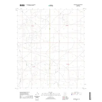 2020 Greenwood Lake2020 Print · USGSThe high desert of Southeast New Mexico is captured here in the years following the modern oil boom. Researchers can trace land divisions and desert access routes like Shugart Rd, Lusk Rd, and the area around Greenwood Lake.
 - 2020 Map of Paduca Breaks East, 2020 Print
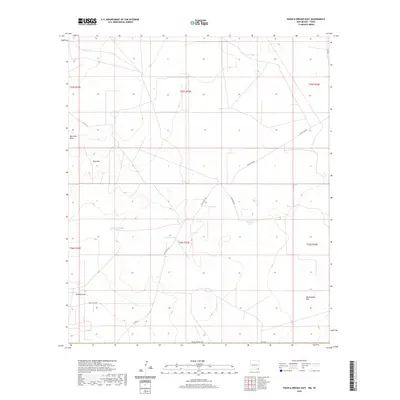 2020 Paduca Breaks East2020 Print · USGSThe ranchlands of Lea County appear here in the early twenty-first century as a landscape defined by water management and open range. Researchers can locate remote livestock landmarks like Needmore Tank and Christian Tank along the historic Battle Axe Rd.
 - 2020 Map of Dog Lake, 2020 Print
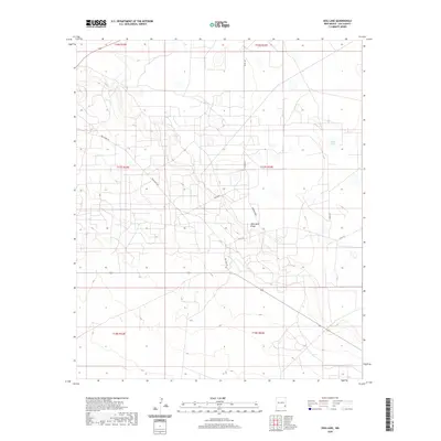 2020 Dog Lake2020 Print · USGSLea County's High Plains are documented here in the early twenty-first century, showing the intersection of ranching life and energy infrastructure. Researchers can trace land divisions and local routes like Tomahawk, Dog Lake Rd, and the terrain around White Lake.
 - 2020 Map of Bell Lake, 2020 Print
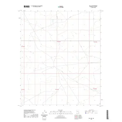 2020 Bell Lake2020 Print · USGSSoutheastern New Mexico's high desert landscape is documented here in the early twenty-first century, showing the critical water sources of the arid plains. Researchers can trace rural routes like Brinstool Rd and Vaca Ln to landmarks including Bell Lake and Red Tank.
 - 2020 Map of Humble City NW, 2020 Print
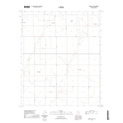 2020 Humble City NW2020 Print · USGSSoutheastern New Mexico's ranching and energy landscape is captured here in the years following the turn of the millennium. Local historians and land researchers can trace the rural road network from Wardswell Draw to family-named routes like Knowles Rd and Marlee.
 - 2020 Map of Lovington, 2020 Print
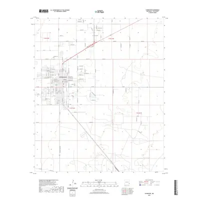 2020 Lovington2020 Print · USGSThe seat of Lea County appears in high detail during its modern era, centered around the Lea County Courthouse. Genealogists and local historians can trace town expansion through presidential-named streets and local burial grounds like Lovington Cem.
 - 2020 Map of Lovington SE, 2020 Print
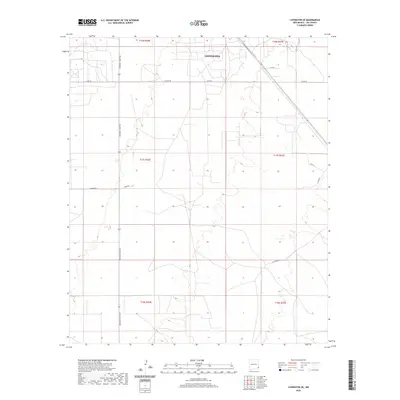 2020 Lovington SE2020 Print · USGSSoutheast Lea County at the start of the 2020s shows the precise grid of the High Plains and the outskirts of Lovington. Genealogists and researchers can trace local land use through named routes like Arkansas Junction, U-Bar Rd, and Buckeye Rd.
 - 2020 Map of Ironhouse Draw, 2020 Print
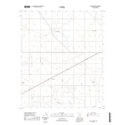 2020 Ironhouse Draw2020 Print · USGSLea County at the turn of the decade reveals a landscape of high plains ranching and remote settlements. Researchers can locate family landmarks like Crockett Cem and Morgan Cem or trace the geography of Pearl Valley and Mescalero Ridge.
 - 2020 Map of San Simon Sink, 2020 Print
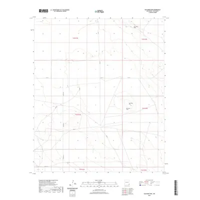 2020 San Simon Sink2020 Print · USGSLea County's arid high plains are captured here in the contemporary era, showing a landscape defined by ranching and resource roads. Researchers can trace the layout of the basin and ridge system, including the San Simon Sink, San Simon Ridge, and Adobe Rd.
 - 2020 Map of Oil Center, 2020 Print
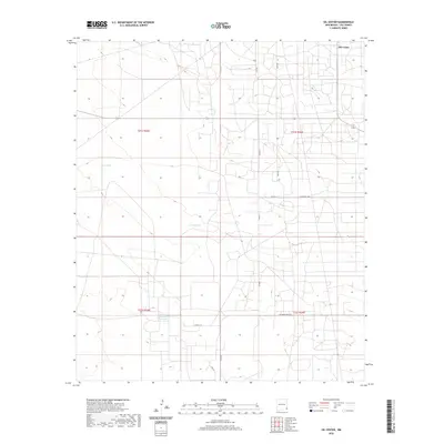 2020 Oil Center2020 Print · USGSLea County's industrial landscape and arid plains are captured here in the early twenty-first century. Researchers can trace the network of service roads and water management sites, including Oil Center, Rock Lake Reservoir, and the distinctive Coyote Hill.
 - 2020 Map of Buckeye NW, 2020 Print
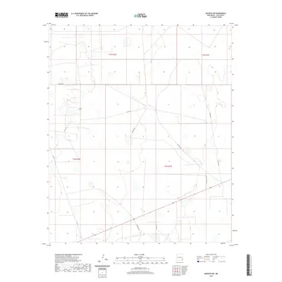 2020 Buckeye NW2020 Print · USGSLea County in 2020 reflects a landscape where traditional ranching and modern industry meet across the high plains. Genealogists and local historians can trace the specific land holdings and transport routes through Patterson Rd, Martin Ranch Rd, and Natural Rd.
 - 2020 Map of Lovington NW, 2020 Print
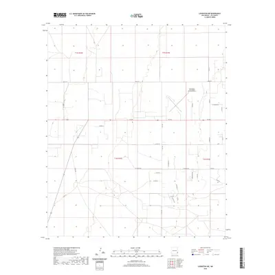 2020 Lovington NW2020 Print · USGSLea County's High Plains terrain is captured here in the early twenty-first century, showing the organized development of the rural landscape. Researchers can trace family-named routes like Harrod Ln and S Hoggett Rd near the Lea County-Zip Franklin Memorial Airport.
 - 2020 Map of Bootleg Ridge, 2020 Print
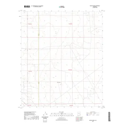 2020 Bootleg Ridge2020 Print · USGSSoutheastern New Mexico's high desert landscape is documented here just as modern infrastructure reached this corner of the state. Researchers can trace the Eddy Co and Lea Co border across the terrain, identifying landmarks like Bootleg Ridge and Hayfield Tank.
 - 2020 Map of Williams Sink, 2020 Print
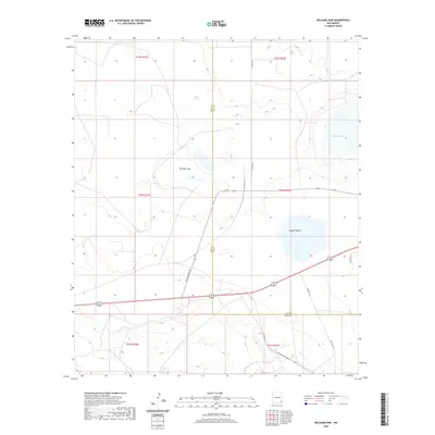 2020 Williams Sink2020 Print · USGSSoutheast New Mexico's high desert reveals its specialized industrial and natural basins during the 2020s. Trace the unique local infrastructure and landmarks like Doe Wipp Acc, Williams Sink, and Laguna Toston.
 - 2020 Map of San Simon Ranch, 2020 Print
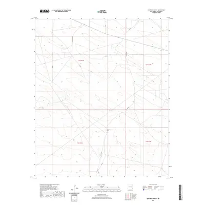 2020 San Simon Ranch2020 Print · USGSLea County's ranching landscape is captured here in the contemporary era, showing a region defined by large land holdings and desert topography. Trace the layout of the San Simon Ranch and geographic markers like Floyd Lake and Grama Ridge.
 - 2020 Map of Tip Top Wells, 2020 Print
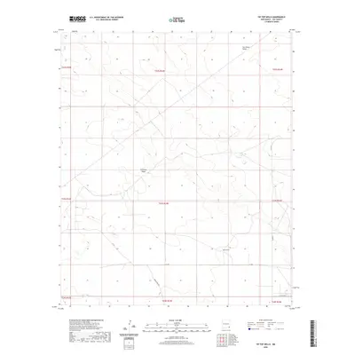 2020 Tip Top Wells2020 Print · USGSLea County, New Mexico, is captured here in the early twenty-first century, showing the enduring infrastructure of the high desert. Researchers can trace remote ranching routes like Brinninstool Rd and locate landmarks such as Tip Top Wells and Antelope Ridge.
 - 2020 Map of Eunice, 2020 Print
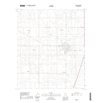 2020 Eunice2020 Print · USGSSoutheastern New Mexico's oil-rich landscape is captured in this recent survey of Eunice and the surrounding plains. Genealogists and local historians can trace the town's street grid and nearby developments like Jones City or the open terrain of Hardy Flats.
Showing maps 1-25 of 162
Top cities of Lea County
- Hobbs historical maps
- Lovington historical maps
- Eunice historical maps
- Jal historical maps
- Tatum historical maps
Frequently asked questions
- What are the different types of historical maps available for Lea County?
- What is the oldest map of Lea County?
- Where can I purchase historical maps of Lea County for my home or office?
- Where can I download high-res historical maps of Lea County?
- Are there historical topographic maps available for Lea County?
- Is there historical aerial imagery available for Lea County?
- Where are historical maps of Lea County sourced from?