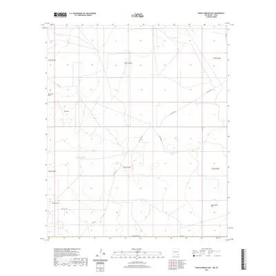
2020 Map of Paduca Breaks East
USGS Topo · Published 2020About this map
Needmore Tank and Christian Tank serve as vital water resources across this arid corner of Lea County, where the landscape is defined by its subtle drainage patterns and ranching infrastructure. The terrain is marked by notable depressions and dry washes, including the Red Hills Draw and the broad expanse of Rattlesnake Flat in the southeast. This contemporary survey by the U.S. Geological Survey illustrates how the region remains oriented around historical land divisions and resource management, with local routes like Battle Axe Rd and Dinwiddie Rd providing the primary transit network through the open range. Strategic livestock tanks such as Penn Tank and Jason Tank are key landmarks in this sparsely populated territory, anchoring the vast grids of the Public Land Survey System near the Red Hills.
Find a feature on this map
20 named features on this map. Tap any name to fly to it.
Don’t see what you’re looking for? This feature index may not catch every label — zoom into the map to look around manually.
Map Details
Editions of this 2020 Paduca Breaks East Map
This is the sole edition of this map. No revisions or reprints were ever made.
Other maps of this area

1954 · Hobbs
USGS Topo · 1:250,000

1954 · Pecos
USGS Topo · 1:250,000

1957 · Pecos
USGS Topo · 1:250,000

1958 · Hobbs
USGS Topo · 1:250,000

1969 · Kyle Ranch
USGS Topo · 1:24,000

1969 · Rudd Draw NE
USGS Topo · 1:24,000

1970 · Brunson Ranch
USGS Topo · 1:24,000

1973 · Bell Lake
USGS Topo · 1:24,000

1973 · Paduca Breaks NW
USGS Topo · 1:24,000

1973 · Paduca Breaks East
USGS Topo · 1:24,000