2000s (21st Century) Maps of Lea County, New Mexico
Explore 430 historic maps of Lea County from the 2000s (21st Century). These maps offer a rare glimpse into what life looked like during the 2000s — showing old roads, neighborhoods, homes, and landmarks that have changed or disappeared over time.
Whether you're researching your family's past, planning a metal detecting trip, or studying how Lea County's landscape evolved across the 2000s, these high-resolution maps are a powerful tool for exploring the history of this region.
- Focus on a specific era: All maps on this page are from the 2000s, giving you a focused view of this time period.
- See what’s changed: Compare century-old streets, trails, and buildings to today's modern landscape using overlays and satellite layers.
- Research with precision: Use these maps for genealogy, historical research, land use analysis, or educational projects.
- View, download, or print: Maps are fully viewable online in high resolution, and can be downloaded or printed for your own records.
Start exploring Lea County's history through authentic maps from the 2000s. This is your window into the past.
Lea County, NM maps
(430)- 2010 Map of Monument South, 2010 Print
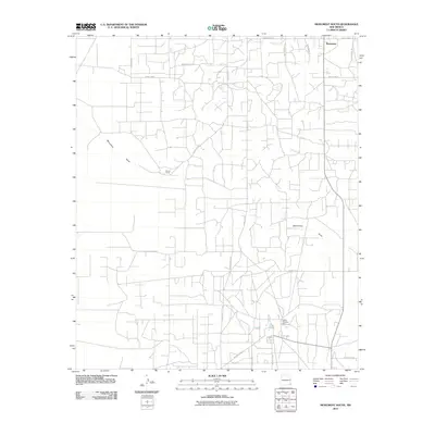 2010 Monument South2010 Print · USGSMonument and the surrounding Lea County plains are captured here in the early twenty-first century as an active hub of ranching and industry. Researchers can trace the layout of the Hobbs Chemical Plant, Record Ranch, and the paths of Tuffy Cooper Rd.
 - 2010 Map of East Lake, 2010 Print
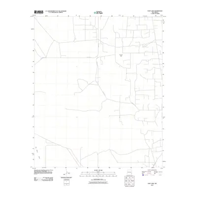 2010 East Lake2010 Print · USGSSoutheastern New Mexico's energy landscape is captured here during the early twenty-first century, showing the intersection of industrial work and desert terrain. Researchers can trace the infrastructure of the Monument Jal Oil Field and the natural geography of the San Simon Swale.
 - 2010 Map of Bell Lake, 2010 Print
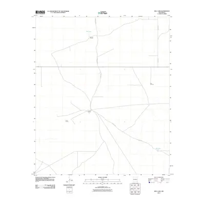 2010 Bell Lake2010 Print · USGSLea County ranching country is documented here during the early twenty-first century, showing the remote network of windmills and desert outposts. Researchers can trace land use at the Double X Ranch or locate water features like Bell Lake and the Slick Windmills.
 - 2010 Map of Monument SW, 2010 Print
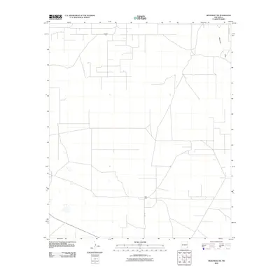 2010 Monument SW2010 Print · USGSSoutheast New Mexico's oil and ranching lands appear in detail just after the first decade of the millennium. Researchers can trace the industrial infrastructure of the Pearl Oil Field or locate the remote Sims Ranch and the path of Monument Draw.
 - 2010 Map of Lovington SE, 2010 Print
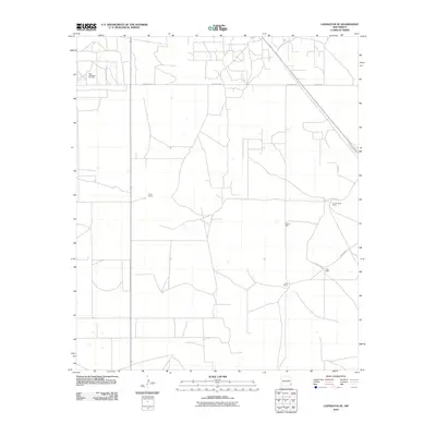 2010 Lovington SE2010 Print · USGSLea County's high plains are shown in detail during the early twenty-first century, capturing a landscape where oil production and ranching coexist. Researchers can trace land use patterns and local landmarks like Turner Ranch, West Lovington Oil Field, and Adobe Well.
 - 2010 Map of The Divide, 2010 Print
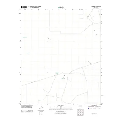 2010 The Divide2010 Print · USGSLea County's desert ranching and energy landscape is recorded here in the early twenty-first century. Researchers can trace the infrastructure of the Permian Basin from the Hat Mesa Gas Field to livestock water sources like Under the Hill Tank and Divide Tank.
 - 2010 Map of Humble City SE, 2010 Print
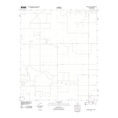 2010 Humble City SE2010 Print · USGSThe Texas and New Mexico borderlands come into focus in this recent survey of the high plains ranch country. Genealogists and local historians can trace family-named routes like N Kornegay Ln and N Johnson Rd near the drainage of Johnson Draw.
 - 2010 Map of Hobbs West, 2010 Print
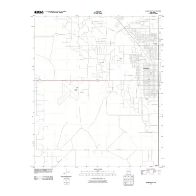 2010 Hobbs West2010 Print · USGSLea County at the turn of the millennium shows the intersection of urban growth and the industrial energy sector. Researchers can trace the layout of Hobbs and its surrounding infrastructure, from the Hobbs Post Office to the sprawling Hobbs Oil Field.
 - 2010 Map of Tip Top Wells, 2010 Print
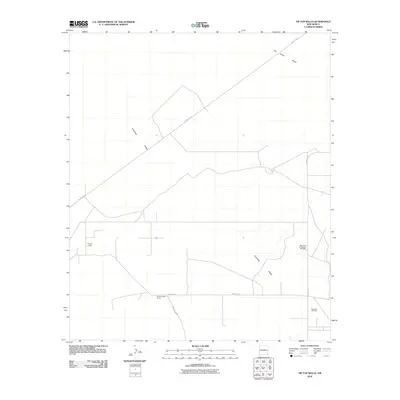 2010 Tip Top Wells2010 Print · USGSLea County's high desert landscape is shown here at the start of the 2010s, defined by its ranching heritage and industrial energy production. Researchers can trace the layout of the Cruz Oil Field and Bell Lake Oil Field near Brimminstool Ranch.
 - 2010 Map of Ironhouse Draw, 2010 Print
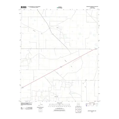 2010 Ironhouse Draw2010 Print · USGSLea County at the start of the 2010s reveals a ranching and oil-producing landscape organized around ephemeral water and family heritage. Researchers can trace local lineage at Crockett Cemetery and Morgan Cemetery or locate the Turner Ranch.
 - 2010 Map of Lovington SW, 2010 Print
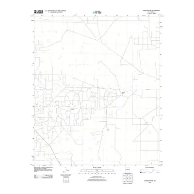 2010 Lovington SW2010 Print · USGSSoutheastern New Mexico’s energy and ranching landscapes converge in this 2010 survey of the Permian Basin. Researchers and local historians can trace the intersection of industry and homesteading at the Vacuum Oil Field and the R D Lee Ranch.
 - 2010 Map of Dog Lake, 2010 Print
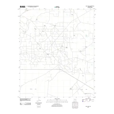 2010 Dog Lake2010 Print · USGSLea County ranching and energy production intersect on these high plains in the early 2000s. Researchers can trace the extensive road networks of the Maljamar Oil Field or locate historic family outposts like the Taylor-Holaman Ranch and Steel Windmill.
 - 2010 Map of Williams Sink, 2010 Print
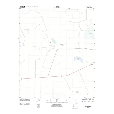 2010 Williams Sink2010 Print · USGSLea County's industrial potash corridor is captured in the early twenty-first century, showing the intersection of mining and specialized infrastructure. Researchers can trace the layout of the National Potash Mine and the Hobbs Potash Facility Refinery near Laguna Plata.
 - 2010 Map of Eunice, 2010 Print
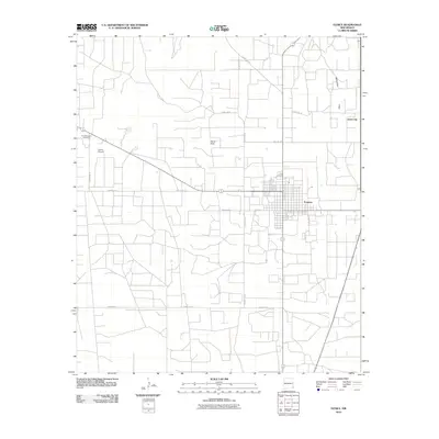 2010 Eunice2010 Print · USGSThe oil-field community of Eunice is captured here during a period of steady expansion in southeastern New Mexico. Researchers can trace the development of Jones City and Eunice alongside landmarks like the Eunice Airport and the natural drainage of Monument Draw.
 - 2010 Map of Rattlesnake Canyon, 2010 Print
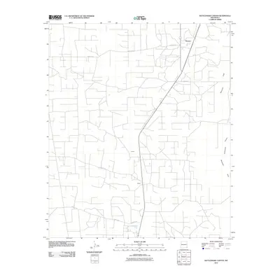 2010 Rattlesnake Canyon2010 Print · USGSThe high plains of Lea County at the start of the century reveal a landscape of coordinated roads and scattered rural settlements. Genealogists and historians can trace the development of Maypens, Johnson, and the arid path of Monument Draw across the desert floor.
 - 2010 Map of Andrews Place, 2010 Print
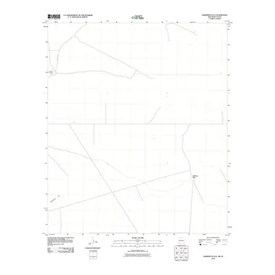 2010 Andrews Place2010 Print · USGSThe ranching country of the New Mexico-Texas borderlands is captured here in the early twenty-first century. Researchers can trace the layout of remote operations such as the Diamond and a Half Ranch and find the location of Andrews Place near the state line.
 - 2010 Map of San Simon Ranch, 2010 Print
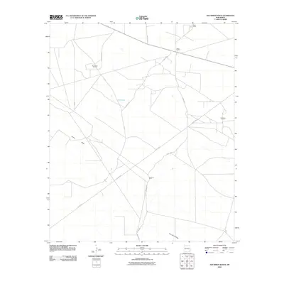 2010 San Simon Ranch2010 Print · USGSLea County's ranching and oil-producing landscape is recorded here in the early twenty-first century. Researchers can trace cattle and petroleum history through sites like San Simon Ranch, Wilson Camp, and the San Simon Oil Field.
 - 2010 Map of Lovington, 2010 Print
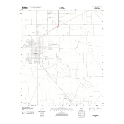 2010 Lovington2010 Print · USGSLovington and the surrounding plains of Lea County are captured here in the early twenty-first century. Genealogists and local researchers can trace the community through the Lovington Cemetery, Rest Haven Gardens, and family-named landmarks like the Graham Ranch.
 - 2010 Map of Buckeye NW, 2010 Print
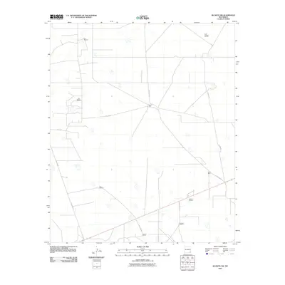 2010 Buckeye NW2010 Print · USGSIn the southeastern corner of New Mexico during the early twenty-first century, ranching life and oil exploration occupy the high plains. Genealogists and local historians can trace legacy holdings such as Edson Ranch and Paschall Ranch or locate industrial sites like the South Saunders Oil Field.
 - 2010 Map of Lea, 2010 Print
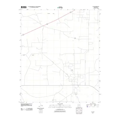 2010 Lea2010 Print · USGSSoutheast New Mexico's energy landscape is clearly visible in this survey of the high plains during the early twenty-first century. Genealogists and researchers can trace the roads connecting Lea to the North Lynch Oil Field and the local Berry Ranch.
 - 2010 Map of Jal NW, 2010 Print
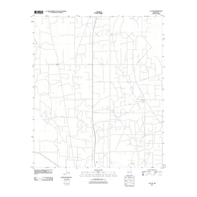 2010 Jal NW2010 Print · USGSJal and the surrounding Lea County plains appear in the early twenty-first century as a landscape defined by ranching and utility. Researchers can trace local landmarks like the Jal Cooper Cemetery and rural thoroughfares such as Doom Rd and Willis Rd.
 - 2010 Map of Jal NE, 2010 Print
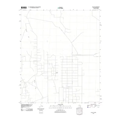 2010 Jal NE2010 Print · USGSLea County's industrial oil landscape is captured in the early twenty-first century, showing the intersection of natural drainage and energy infrastructure. Researchers can trace the layout of the Dollarhide Oil Field and the network of local routes like Plant Rd and Monument Draw.
 - 2010 Map of Maljamar, 2010 Print
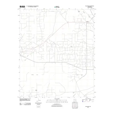 2010 Maljamar2010 Print · USGSIn the heart of the New Mexico oil patch during the early twenty-first century, this map shows a landscape defined by industrial energy production. Genealogists and historians can trace the roads around Maljamar or locate specific sites like the Baish Oil Field and the Maljamar Post Office.
 - 2010 Map of Oil Center, 2010 Print
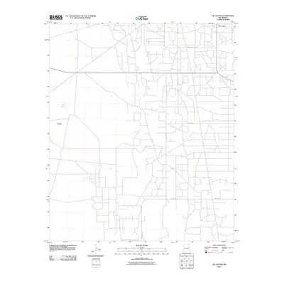 2010 Oil Center2010 Print · USGSOil Center and its surrounding energy landscape are captured here in the early twenty-first century as petroleum infrastructure defines the local geography. Researchers can trace the extensive network of service roads and industrial sites including San Simon Oil Field and the seasonal basin at Dry Lake.
 - 2010 Map of Laguna Gatuna, 2010 Print
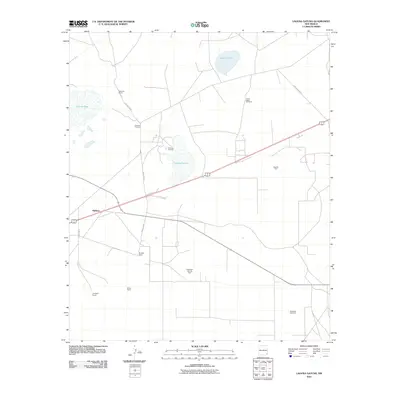 2010 Laguna Gatuna2010 Print · USGSLea County's high desert landscape appears here during a period of active ranching and energy production. Researchers can trace family-run operations like Campbell Ranch and Bingham Ranch or locate industrial sites such as the Salt Lake Oil Field.
Showing maps 1-25 of 430
Top cities of Lea County
- Hobbs historical maps
- Lovington historical maps
- Eunice historical maps
- Jal historical maps
- Tatum historical maps
Frequently asked questions
- What are the different types of historical maps available for Lea County?
- What is the oldest map of Lea County?
- Where can I purchase historical maps of Lea County for my home or office?
- Where can I download high-res historical maps of Lea County?
- Are there historical topographic maps available for Lea County?
- Is there historical aerial imagery available for Lea County?
- Where are historical maps of Lea County sourced from?