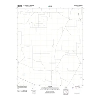
2010 Map of Monument SW
USGS Topo · Published 2010About this map
The Pearl Oil Field occupies the northern reaches of this Lea County landscape, illustrating the industrial footprint of energy extraction in the Permian Basin during the early 21st century. This network of access roads and pads is contrasted by the more isolated pastoral presence of Sims Ranch to the south, reached via Sims Rd. The terrain is characterized by subtle drainage patterns, most notably Monument Draw, which cuts across the northeastern corner of the map. While the grid of County Rd 46 and other local routes provides structure to the territory, much of the area remains dominated by the spatial requirements of oil production and ranching, reflecting the dual economic drivers of this high plains region.
Find a feature on this map
6 named features on this map. Tap any name to fly to it.
Don’t see what you’re looking for? This feature index may not catch every label — zoom into the map to look around manually.
Map Details
Editions of this 2010 Monument SW Map
This is the sole edition of this map. No revisions or reprints were ever made.
Other maps of this area

1954 · Hobbs
USGS Topo · 1:250,000

1958 · Hobbs
USGS Topo · 1:250,000

1963 · Oil Center
USGS Topo · 1:62,500

1963 · Monument
USGS Topo · 1:62,500

1963 · Laguna Gatuna
USGS Topo · 1:62,500

1963 · Hat Mesa
USGS Topo · 1:62,500

1978 · Jal
USGS Topo · 1:100,000

1984 · Oil Center
USGS Topo · 1:24,000

1984 · Lea
USGS Topo · 1:24,000

1984 · Ironhouse Well
USGS Topo · 1:24,000