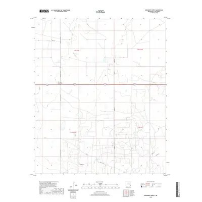
2020 Map of Monument North
USGS Topo · Published 2020About this map
Arkansas Junction sits at the center of this 2020 landscape in Lea County, New Mexico, marking a key intersection where major regional routes meet. The terrain is characterized by its high-desert topography, notably featuring Indian Hill and the life-sustaining waters of Monument Springs. This modern record of the High Plains illustrates the sparse but critical network of rural roads, including Squires Rd, Maddox Rd, and Pearl Valley Rd, which define the ranching and energy infrastructure of the area. The map spans the transitions between t18s r36e, t18s r37e, t19s r36e, and t19s r37e, documenting the precise township and range boundaries that have organized this territory since its early settlement. The presence of Eldridge Rd and various county routes highlights the ongoing importance of access across these expansive western reaches.
Find a feature on this map
16 named features on this map. Tap any name to fly to it.
Don’t see what you’re looking for? This feature index may not catch every label — zoom into the map to look around manually.
Map Details
Editions of this 2020 Monument North Map
This is the sole edition of this map. No revisions or reprints were ever made.
Other maps of this area

1954 · Hobbs
USGS Topo · 1:250,000

1958 · Hobbs
USGS Topo · 1:250,000

1962 · Lovington
USGS Topo · 1:62,500

1963 · Monument
USGS Topo · 1:62,500

1969 · Humble City
USGS Topo · 1:24,000

1969 · Hobbs SW
USGS Topo · 1:24,000

1969 · Hobbs West
USGS Topo · 1:24,000
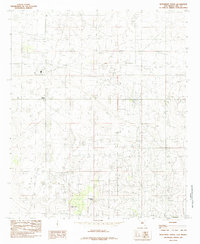
1985 · Monument North
USGS Topo · 1:24,000
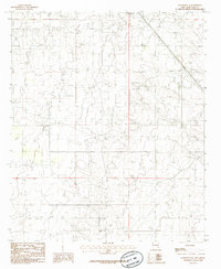
1985 · Lovington SE
USGS Topo · 1:24,000
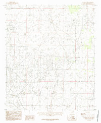
1985 · Lovington SW
USGS Topo · 1:24,000