Old Maps of Monument, New Mexico for Academic Research
Study the evolution of Monument with 9 high-resolution historic maps. Whether you're teaching, researching, or modeling changes in land use, these maps provide essential visual documentation of urban, environmental, and geographic change.
- Analyze long-term change: Track patterns in development, transportation, and natural features.
- Ideal for environmental or urban studies: Support academic projects with primary historical map data.
- Use in the classroom or lab: Educators and researchers rely on these maps to bring historical context to life.
These maps are a powerful tool for teaching, research, and visualizing how Monument has changed over the decades.
Monument, NM maps
(9)- 1954 Map of Hobbs, 1963 Print
 1954 Hobbs1963 Print · USGSThe High Plains and Permian Basin transition is captured here at the height of the mid-century energy boom. Genealogists and industrial historians can trace the foundations of Humble City, locate the Potash Mine and Plant, and follow the Texas-New Mexico RR.2 unique versions available
 - 1958 Map of Hobbs
 1958 Hobbs1958 Print · USGSThe High Plains of the Texas-New Mexico border are shown here during the height of the mid-century oil boom. Genealogists and historians can trace the development of Hobbs, Lovington, and Jal, alongside ranching landmarks like James Ranch and the early Texas-New Mexico Railway.
 - 1963 Map of Monument, 1964 Print
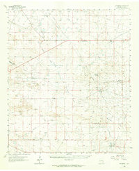 1963 Monument1964 Print · USGSThe high plains of Lea County in the early sixties reveal a landscape shaped by the mid-century oil boom and traditional ranching. Researchers can trace family history at Crockett Cem or locate the infrastructure of the Pearl Oil Field and the Texas-New Mexico RR.
 - 1985 Map of Monument South
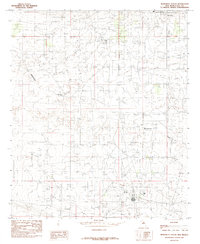 1985 Monument South1985 Print · USGSThe high plains of Lea County in the mid-1980s are defined by an intensive petroleum landscape surrounding the settlement of Monument. Researchers can trace the sprawling Oil Field infrastructure and the natural course of Monument Draw across this industrial grid.
 - 2010 Map of Monument South, 2010 Print
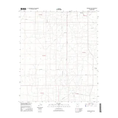
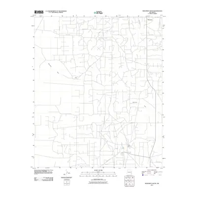 2010 Monument South2010 Print · USGSCovers Monument, including Lea County, United States, and other nearby areas
 - 2013 Map of Monument South, 2013 Print
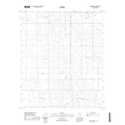
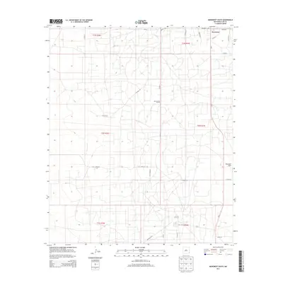 2013 Monument South2013 Print · USGSCovers Monument, including Lea County, United States, and other nearby areas
 - 2017 Map of Monument South, 2017 Print
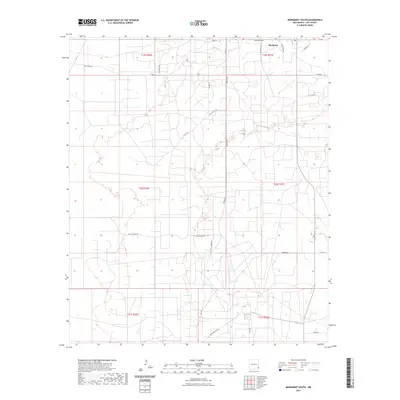
 2017 Monument South2017 Print · USGSCovers Monument, including Lea County, United States, and other nearby areas
 - 2020 Map of Monument South, 2020 Print
 2020 Monument South2020 Print · USGSCovers Monument, including Lea County, United States, and other nearby areas
 - 2023 Map of Monument South, 2023 Print
 2023 Monument South2023 Print · USGSLea County's high plains are documented here in recent years, showing the ranching and energy infrastructure near the settlement of Monument. Genealogists and researchers can trace family lands along Byrd Ranch Ln, Tuffy Copper Rd, and Childress Rd.
End of results
Showing maps 1-9 of 9
Top cities near Monument
Frequently asked questions
- What are the different types of historical maps available for Monument?
- What is the oldest map of Monument?
- Where can I purchase historical maps of Monument for my home or office?
- Where can I download high-res historical maps of Monument?
- Are there historical topographic maps available for Monument?
- Is there historical aerial imagery available for Monument?
- Where are historical maps of Monument sourced from?