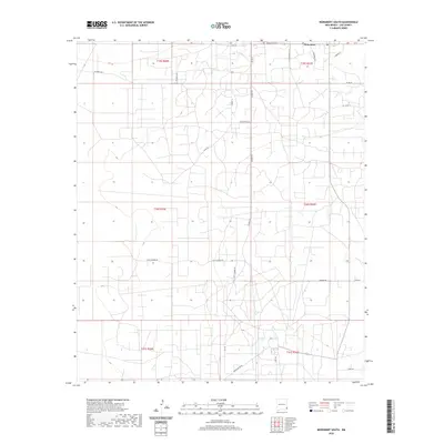
2020 Map of Monument South
USGS Topo · Published 2020About this map
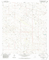
Monument anchors the northern reaches of this Lea County landscape, serving as a focal point for a complex network of local roads and section lines. The settlement sits at the intersection of Monument Hwy and several named routes including Raymond Ln and Geronimo Rd, illustrating the structured land use common in this part of New Mexico. The grid is punctuated by family-named landmarks and ranch access ways like Byrd Ranch Ln and Childress Rd, which reflect the region's agricultural and ranching heritage.
Find a feature on this map
26 named features on this map. Tap any name to fly to it.
Don’t see what you’re looking for? This feature index may not catch every label — zoom into the map to look around manually.
Map Details
Editions of this 2020 Monument South Map
This is the sole edition of this map. No revisions or reprints were ever made.
Other maps of this area

1954 · Hobbs
USGS Topo · 1:250,000

1958 · Hobbs
USGS Topo · 1:250,000
1963 · Oil Center
USGS Topo · 1:62,500
1963 · Monument
USGS Topo · 1:62,500
1969 · Hobbs SW
USGS Topo · 1:24,000
1969 · Eunice
USGS Topo · 1:24,000
1969 · Hobbs West
USGS Topo · 1:24,000
1978 · Jal
USGS Topo · 1:100,000
1984 · Oil Center
USGS Topo · 1:24,000
1984 · San Simon Ranch
USGS Topo · 1:24,000