Old Maps of Bluewater, New Mexico for Hiking & Exploration
Hike through history with 13 historic maps of Bluewater. Explore old trails, ghost towns, and forgotten backroads — perfect for outdoor adventurers and local explorers.
- Rediscover forgotten places: Map out old mining camps, roads, and footpaths that no longer exist on modern maps.
- Layer with modern tools: Combine with LiDAR or satellite views to plan hikes through historical terrain.
- Made for exploration: Popular among hikers, overlanders, and local history lovers.
Use these maps to find adventure and explore the hidden past of Bluewater.
Bluewater, NM maps
(13)- 1936 Map of Arabela
 1936 Arabela1936 Print · USGSRanching and rural education define this mid-1930s survey of the Arabela region near the Capitan Mountains. Genealogists and historians can locate family holdings like Purcella Ranch and several local institutions including Plainview School and Escondido Spring School.4 unique versions available
 - 1942 Map of Arabela
 1942 Arabela1942 Print · USGSLincoln County ranching life in the 1930s is preserved here, centered on the small community of Arabela and the surrounding high-desert arroyos. Genealogists can trace family holdings like the Russell Bird Ranch and Purcella Ranch or locate the Plainview Sch.2 unique versions available
 - 1955 Map of Roswell, 1974 Print
 1955 Roswell1974 Print · USGSSoutheastern New Mexico is shown in transition during the mid-fifties, from the Pecos Valley ranching hubs to the high timber of the Sacramento Mountains. Researchers can trace the Atchison Topeka and Santa Fe RR through Roswell and Hagerman or locate the old barracks at Ft Stanton.3 unique versions available
 - 1958 Map of Roswell
 1958 Roswell1958 Print · USGSThe High Plains and mountain peaks of New Mexico are captured here during the mid-fifties, showing the region before the closure of Walker Air Force Base. Researchers can trace the ranching and rail landscape from Lincoln to the Pecos River valley through Hagerman and Lake Arthur.
 - 1962 Map of Roswell
 1962 Roswell1962 Print · USGSSoutheastern New Mexico in the early sixties shows a landscape defined by high mountain peaks and a growing military presence at Roswell. Genealogists and historians can trace the roads connecting Fort Stanton, Capitan, and the Mescalero Apache Indian Reservation.
 - 1981 Map of Carrizozo
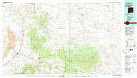 1981 Carrizozo1981 Print · USGSHigh desert plains meet the timbered slopes of the Capitan and Jicarilla Mountains in the early 1980s. Genealogists and historians can trace rail-side towns like Carrizozo and old mining sites such as the American Mine and the settlement of White Oaks.2 unique versions available
 - 1981 Map of Arabela
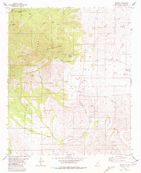 1981 Arabela1981 Print · USGSArabela and the eastern Capitan Mountains appear here as they were in the early 1980s, before modern development shifted the rural landscape. Trace local heritage through landmarks like Las Palas Cem, the settlement of Pine Lodge, and Pacheco Lake.
 - 2004 Map of Arabela, 2006 Print
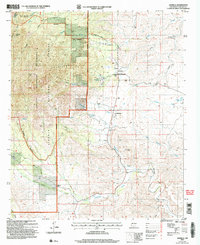 2004 Arabela2006 Print · USGSArabela and the eastern foothills of the Capitan Mountains are shown here as they appeared in the early 2000s. Genealogists and researchers can trace local landmarks like Las Patas Cem, Whitaker Ranch, and the Escondido Ditch irrigation system.
 - 2011 Map of Arabela, 2011 Print
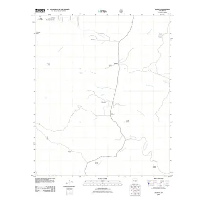 2011 Arabela2011 Print · USGSArabela and the surrounding Lincoln County canyons are shown here in the early twenty-first century as a landscape of isolated ranches and spring-fed creeks. Researchers can locate the Las Palas Cemetery, the Arabela Mines Incorporated Prospect, and named outposts like Whitaker Ranch.
 - 2013 Map of Arabela, 2013 Print
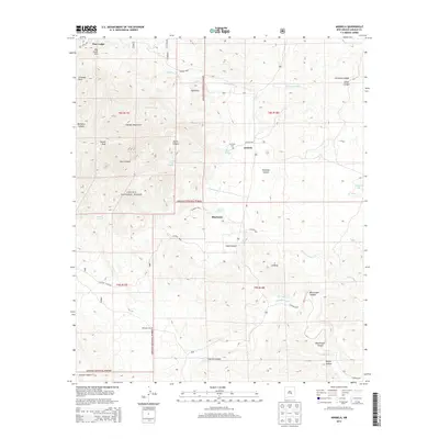 2013 Arabela2013 Print · USGSThe Arabela area of Lincoln County is shown here in the early twenty-first century, revealing a landscape of high canyons and desert springs. Genealogists can trace family footprints at Las Palas Cemetery or explore landmarks like Whitaker Ranch and the settlement of Bluewater.
 - 2017 Map of Arabela, 2017 Print
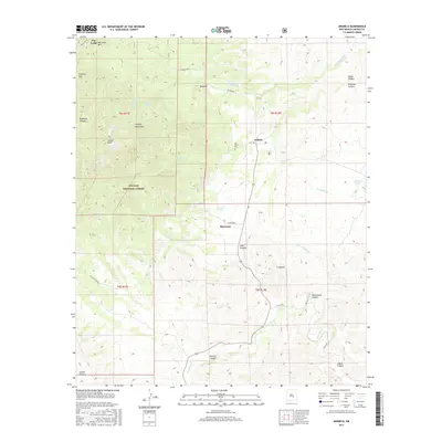 2017 Arabela2017 Print · USGSArabela and the eastern slopes of the Capitan Mountains are shown here in the late twenty-tens. Researchers can trace the layout of small mountain communities like Arabela, Bluewater, and S Arabela, or locate the Las Palas Cem near historic springs.
 - 2020 Map of Arabela, 2020 Print
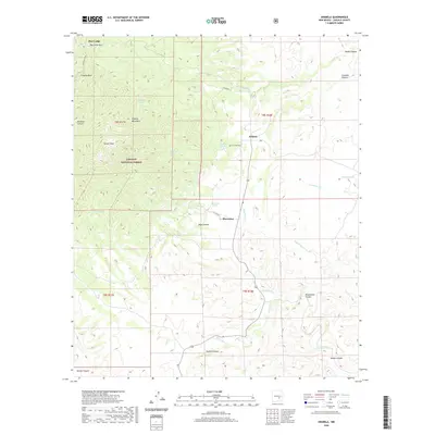 2020 Arabela2020 Print · USGSArabela and the eastern foothills of the Capitan Mountains are captured here in the early twenty-first century. Local history researchers can locate family landmarks like the Las Palas Cem or trace seasonal water sources such as Las Palas Spring and Bluewater Spring.
 - 2023 Map of Arabela, 2023 Print
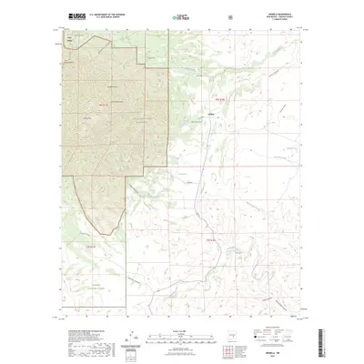 2023 Arabela2023 Print · USGSHigh in the Lincoln County backcountry, this map shows the isolated community of Arabela and the surrounding national forest as they appear today. Genealogists and researchers can locate Las Palas Cem and trace remote mountain water sources like Pino Real Spring.
End of results
Showing maps 1-13 of 13
Frequently asked questions
- What are the different types of historical maps available for Bluewater?
- What is the oldest map of Bluewater?
- Where can I purchase historical maps of Bluewater for my home or office?
- Where can I download high-res historical maps of Bluewater?
- Are there historical topographic maps available for Bluewater?
- Is there historical aerial imagery available for Bluewater?
- Where are historical maps of Bluewater sourced from?