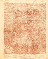
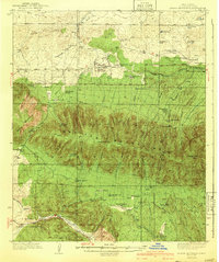
1936 Map of Arabela
USGS Topo · Published 1936About this map
Arabela sits at the heart of this mid-1930s survey, a period when rural education and livestock ranching defined the southeastern New Mexico landscape. The distribution of schools like Plainview School, Bluewater School, and Escondido Spring School indicates a decentralized but active community structure necessary for the sprawling ranching operations of the era. Cattle and sheep ranching footprints are visible throughout the terrain, evidenced by family holdings such as the Purcella Ranch, Lowrey Ranch, and Russell Bird Ranch.
Find a feature on this map
38 named features on this map. Tap any name to fly to it.
Don’t see what you’re looking for? This feature index may not catch every label — zoom into the map to look around manually.
Map Details
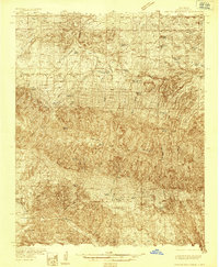
Editions of this 1936 Arabela Map
4 editions found
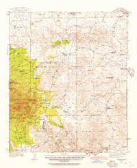
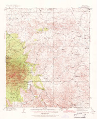

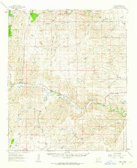
Other maps of this area
1935 · Capitan Mountains
USGS Topo · 1:48,000
1940 · Capitan Mountains
USGS Topo · 1:62,500

1942 · Arabela
USGS Topo · 1:62,500

1955 · Roswell
USGS Topo · 1:250,000

1958 · Roswell
USGS Topo · 1:250,000

1961 · Lincoln
USGS Topo · 1:62,500
1961 · Tinnie
USGS Topo · 1:62,500

1962 · Roswell
USGS Topo · 1:250,000

1962 · Horseshoe Bend
USGS Topo · 1:62,500
1967 · North Lake
USGS Topo · 1:24,000