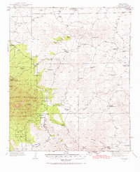
1936 Map of Arabela
USGS Topo · Published 1971About this map
Arabela sits at the foot of the eastern Capitan Mountains during the mid-1930s, serving as a focal point for a landscape defined by ranching and high-altitude forest. The settlement pattern is dominated by named family holdings, including the Latham Ranch, Brills Ranch, and Owens Ranch, scattered across the high desert and mountain slopes. This 1935-36 survey by the United States Department of the Interior details the complex network of drainage systems like Seco Arroyo and Agua Chiquita Creek that were vital for sustaining these remote operations.
Find a feature on this map
53 named features on this map. Tap any name to fly to it.
Don’t see what you’re looking for? This feature index may not catch every label — zoom into the map to look around manually.
Map Details
Editions of this 1936 Arabela Map
4 editions found
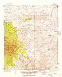
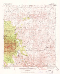
Other maps of this area

1935 · Capitan Mountains
USGS Topo · 1:48,000

1936 · Arabela
USGS Topo · 1:48,000

1940 · Capitan Mountains
USGS Topo · 1:62,500

1942 · Arabela
USGS Topo · 1:62,500

1955 · Roswell
USGS Topo · 1:250,000

1958 · Roswell
USGS Topo · 1:250,000

1961 · Lincoln
USGS Topo · 1:62,500

1961 · Tinnie
USGS Topo · 1:62,500

1962 · Roswell
USGS Topo · 1:250,000

1962 · Horseshoe Bend
USGS Topo · 1:62,500