Old Maps of Corona, New Mexico for Academic Research
Study the evolution of Corona with 16 high-resolution historic maps. Whether you're teaching, researching, or modeling changes in land use, these maps provide essential visual documentation of urban, environmental, and geographic change.
- Analyze long-term change: Track patterns in development, transportation, and natural features.
- Ideal for environmental or urban studies: Support academic projects with primary historical map data.
- Use in the classroom or lab: Educators and researchers rely on these maps to bring historical context to life.
These maps are a powerful tool for teaching, research, and visualizing how Corona has changed over the decades.
Corona, NM maps
(16)- 1954 Map of Fort Sumner, 1964 Print
 1954 Fort Sumner1964 Print · USGSEast-central New Mexico's ranching and rail heartland is captured here in the mid-1950s, centered on the strategic junctions of the high plains. Researchers can trace the development of early highway networks and rail towns like Vaughn, Fort Sumner, and the copper operations at Guadalupe Mine.3 unique versions available
 - 1958 Map of Fort Sumner
 1958 Fort Sumner1958 Print · USGSEast-central New Mexico in the mid-fifties is captured here as a sprawling landscape of high mesas and cattle ranching. Researchers can trace the convergence of the Southern Pacific railroad at Vaughn and locate family landmarks like Borica School or Marquez Ranch.
 - 1980 Map of Corona, 1981 Print
 1980 Corona1981 Print · USGSThe high-desert ranching and rail country of Lincoln County is documented here during the early eighties. Genealogists and local historians can trace the Southern Pacific line through Corona, locate the Old Railroad Grade, and find remote outposts like Claunch and Gallinas.
 - 1981 Map of Corona South
 1981 Corona South1981 Print · USGSThe high mesas of Lincoln County are captured in the early 1980s, centered on the railroad town of Corona. Researchers can trace the Southern Pacific rail line and locate local landmarks like the Cem, Simpson Tank, and Gallo Canyon.
 - 1981 Map of Corona North
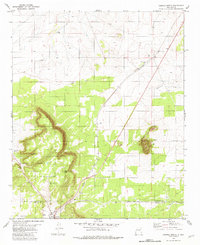 1981 Corona North1981 Print · USGSCentral New Mexico rail and ranching country comes into focus in the early 1980s, documenting the corridor between the settlements of Torrance and Corona. Genealogists and researchers can trace the Southern Pacific line, the Old Railroad Grade, and local landmarks like the Rodeo Ground.
 - 1995 Map of Corona North, 1998 Print
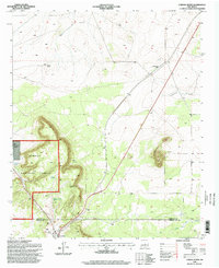 1995 Corona North1998 Print · USGSHigh-desert ranching and rail history converge in central New Mexico during the 1990s. Researchers can trace family ranching sites like Brunson Ranch and follow the Southern Pacific tracks through Torrance and Corona.
 - 2010 Map of Corona South, 2010 Print
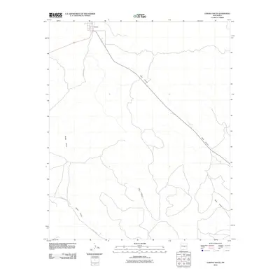 2010 Corona South2010 Print · USGSThe village of Corona and the surrounding high-desert canyons are documented here in the early 21st century. Local historians can trace the rugged drainage systems of Gallo Canyon and Bonita Canyon alongside rural corridors like County Rd-A033.
 - 2011 Map of Corona North, 2011 Print
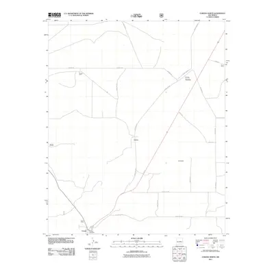 2011 Corona North2011 Print · USGSThe high-desert ranchlands of central New Mexico are captured here in the early twenty-first century. Researchers can trace the layout of family properties like Bagley Ranch and find the specific locations of the Torrance Post Office and Shartzer Windmill.
 - 2013 Map of Corona North, 2013 Print
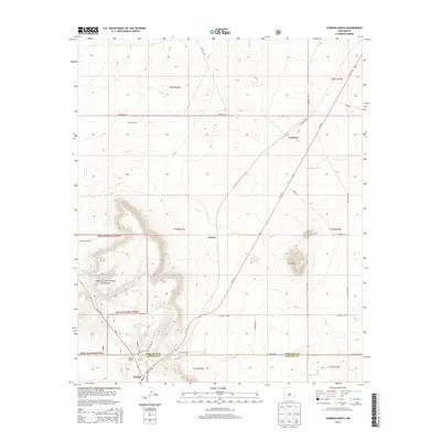 2013 Corona North2013 Print · USGSThe high-desert ranching country of Lincoln and Torrance counties is captured here in the early twenty-first century. Genealogists and local historians can locate long-standing family holdings like Brunson Ranch and Bagley Ranch or trace the early paths of Torrance and Varney.
 - 2013 Map of Corona South, 2013 Print
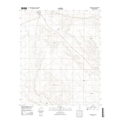 2013 Corona South2013 Print · USGSThe high-desert landscape of Lincoln County appears in meticulous detail in this modern survey of the area around Corona. Trace local geography and land use from Main St down through the deep drainages of Gallo Canyon and Dark Canyon.
 - 2017 Map of Corona North, 2017 Print
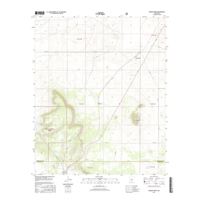 2017 Corona North2017 Print · USGSThe high desert plains of the Torrance and Lincoln county line are captured here in the early twenty-first century. Genealogists and local historians can trace the settlement patterns of Corona, Varney, and Torrance alongside landmarks like Rough Mountain.
 - 2017 Map of Corona South, 2017 Print
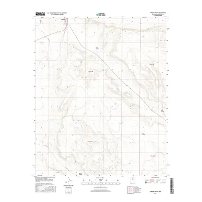 2017 Corona South2017 Print · USGSLincoln County ranching country is documented in the years before the modern era, centered on the high plains near Corona. Researchers can trace the town layout on Franklin St and locate isolated water sources like Simpson Tank amidst Gallo Canyon.
 - 2020 Map of Corona South, 2020 Print
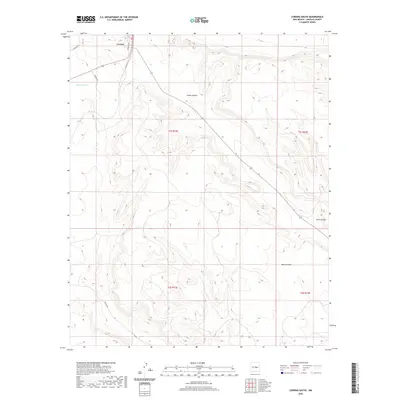 2020 Corona South2020 Print · USGSThe high plateaus of Lincoln County are captured here in the early twenty-first century as the village of Corona borders the wide-open range. Trace the rugged drainage patterns of Gallo Canyon and Mesa Canyon or locate local landmarks like Simpson Tank.
 - 2020 Map of Corona North, 2020 Print
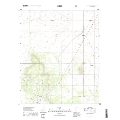 2020 Corona North2020 Print · USGSThe high plains of the Lincoln and Torrance county line are captured here in the contemporary era. Researchers can trace the rugged network of forest trails and rural outposts, from the streets of Corona to named landmarks like Crow Bait Trl and Shartzer Tank.
 - 2023 Map of Corona North, 2023 Print
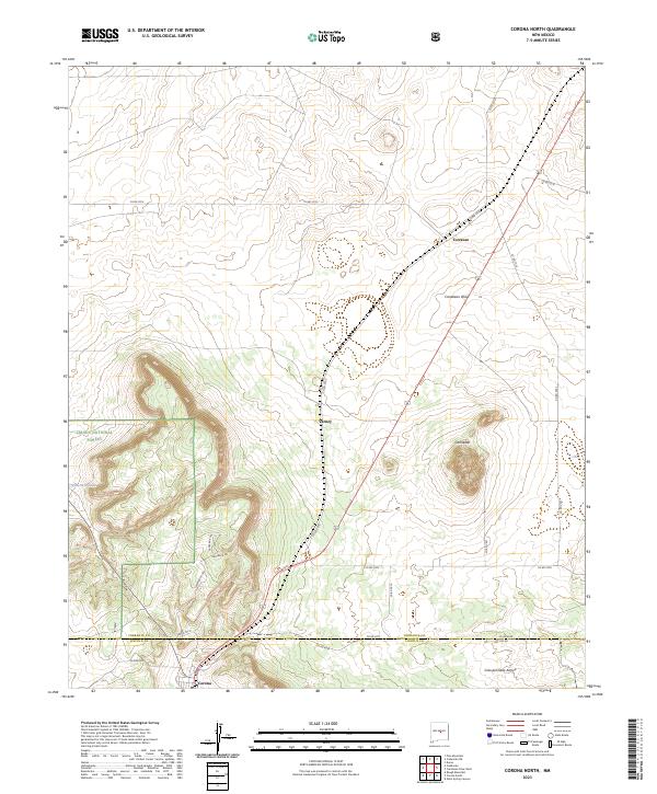 2023 Corona North2023 Print · USGSTorrance and Lincoln counties meet in this 2023 survey of the New Mexico high desert near the settlement of Corona. Researchers can trace old cattle-country routes like Crow Bait Trl and Swayback Rd or locate the community of Varney.
 - 2023 Map of Corona South, 2023 Print
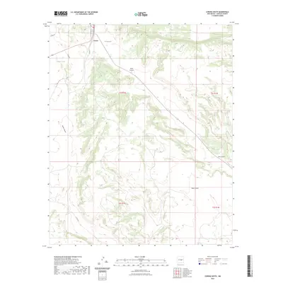 2023 Corona South2023 Print · USGSLincoln County’s high-desert ranching country is captured here in the contemporary era. Researchers can locate the Corona Cem near the town of Corona or trace geographical landmarks like Simpson Tank and the depths of Gallo Canyon.
End of results
Showing maps 1-16 of 16
Frequently asked questions
- What are the different types of historical maps available for Corona?
- What is the oldest map of Corona?
- Where can I purchase historical maps of Corona for my home or office?
- Where can I download high-res historical maps of Corona?
- Are there historical topographic maps available for Corona?
- Is there historical aerial imagery available for Corona?
- Where are historical maps of Corona sourced from?