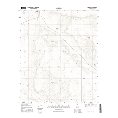
2017 Map of Corona South
USGS Topo · Published 2017About this map
The settlement of Corona sits at the northern edge of this high-altitude landscape, where the town street grid is defined by Franklin St. From this central hub, the terrain falls away into a series of deeply etched drainage systems, including the prominent Gallo Canyon and the southern reaches of Dark Canyon. The map reveals a transition from the organized grid of the town site to the expansive public land survey system divisions of t1s r13e and t1s r14e. Isolated water features like Simpson Tank provide critical resources in this arid environment, while a network of rural routes such as Katrina Rd and Co Rd A033 trace the high ground between the various canyons. These topographical patterns reflect the grazing and ranching heritage of Lincoln County, where limited water sources dictated the layout of homesteads and infrastructure.
Find a feature on this map
14 named features on this map. Tap any name to fly to it.
Don’t see what you’re looking for? This feature index may not catch every label — zoom into the map to look around manually.
Map Details
Editions of this 2017 Corona South Map
This is the sole edition of this map. No revisions or reprints were ever made.
Other maps of this area

1954 · Fort Sumner
USGS Topo · 1:250,000

1958 · Fort Sumner
USGS Topo · 1:250,000

1980 · Corona
USGS Topo · 1:100,000

1981 · Gallo Spring Canyon
USGS Topo · 1:24,000

1981 · Rough Mountain
USGS Topo · 1:24,000

1981 · Camaleon Draw West
USGS Topo · 1:24,000
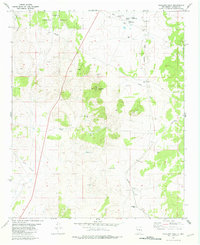
1981 · Tecolote Peak
USGS Topo · 1:24,000
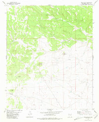
1981 · Pelon Hill
USGS Topo · 1:24,000

1981 · Corona South
USGS Topo · 1:24,000
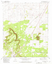
1981 · Corona North
USGS Topo · 1:24,000