2000s (21st Century) Maps of Encinoso, New Mexico
Explore 6 historic maps of Encinoso from the 2000s (21st Century). These maps offer a rare glimpse into what life looked like during the 2000s — showing old roads, neighborhoods, homes, and landmarks that have changed or disappeared over time.
Whether you're researching your family's past, planning a metal detecting trip, or studying how Encinoso's landscape evolved across the 2000s, these high-resolution maps are a powerful tool for exploring the history of this region.
- Focus on a specific era: All maps on this page are from the 2000s, giving you a focused view of this time period.
- See what’s changed: Compare century-old streets, trails, and buildings to today's modern landscape using overlays and satellite layers.
- Research with precision: Use these maps for genealogy, historical research, land use analysis, or educational projects.
- View, download, or print: Maps are fully viewable online in high resolution, and can be downloaded or printed for your own records.
Start exploring Encinoso's history through authentic maps from the 2000s. This is your window into the past.
Encinoso, NM maps
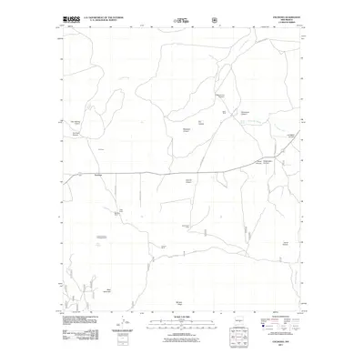
(6)- 2004 Map of Encinoso, 2006 Print
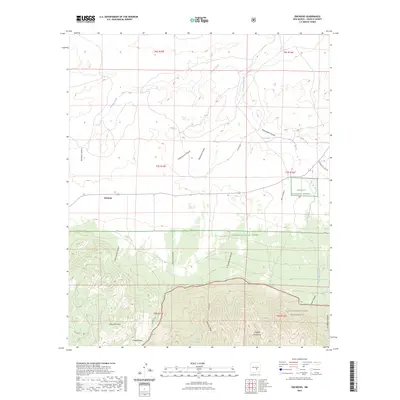
 2004 Encinoso2006 Print · USGSLincoln County ranching and forest lands are revealed in this early twenty-first-century survey as the high desert meets the northern slopes. Genealogists and researchers can trace family-named landmarks like Edgar Ranch, Block Ranch, and the mountain community of Encinoso.
 - 2011 Map of Encinoso, 2011 Print
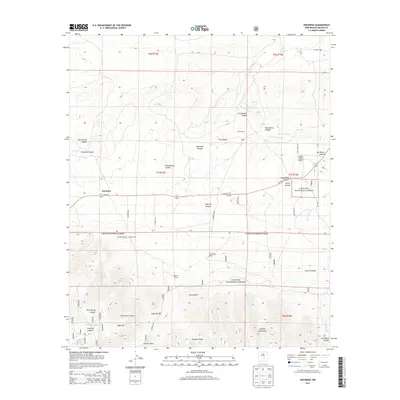
 2011 Encinoso2011 Print · USGSCovers Encinoso, including Lincoln County, United States, and other nearby areas
 - 2013 Map of Encinoso, 2013 Print
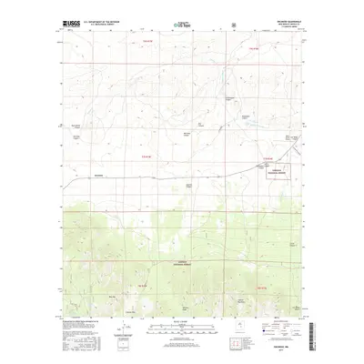
 2013 Encinoso2013 Print · USGSCovers Encinoso, including Lincoln County, United States, and other nearby areas
 - 2017 Map of Encinoso, 2017 Print
 2017 Encinoso2017 Print · USGSCovers Encinoso, including Lincoln County, United States, and other nearby areas
 - 2020 Map of Encinoso, 2020 Print
 2020 Encinoso2020 Print · USGSCovers Encinoso, including Lincoln County, United States, and other nearby areas
 - 2023 Map of Encinoso, 2023 Print
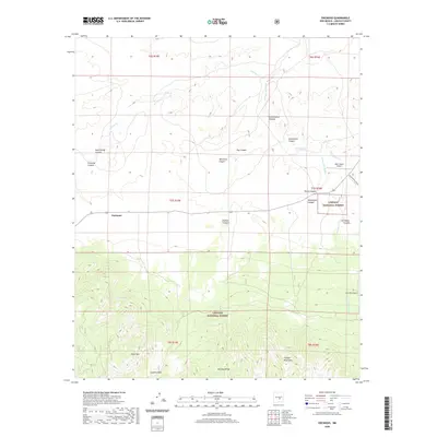
 2023 Encinoso2023 Print · USGSModern-day Lincoln County retains its cattle-ranching character in this survey of the high foothills and mountain passes. Researchers can locate the settlement of Encinoso and trace the drainage of Arroyo del Macho past Macho Spring and West Mountain.
End of results
Showing maps 1-6 of 6
Top cities near Encinoso
Frequently asked questions
- What are the different types of historical maps available for Encinoso?
- What is the oldest map of Encinoso?
- Where can I purchase historical maps of Encinoso for my home or office?
- Where can I download high-res historical maps of Encinoso?
- Are there historical topographic maps available for Encinoso?
- Is there historical aerial imagery available for Encinoso?
- Where are historical maps of Encinoso sourced from?