Old Maps of Hondo, New Mexico for Hiking & Exploration
Hike through history with 12 historic maps of Hondo. Explore old trails, ghost towns, and forgotten backroads — perfect for outdoor adventurers and local explorers.
- Rediscover forgotten places: Map out old mining camps, roads, and footpaths that no longer exist on modern maps.
- Layer with modern tools: Combine with LiDAR or satellite views to plan hikes through historical terrain.
- Made for exploration: Popular among hikers, overlanders, and local history lovers.
Use these maps to find adventure and explore the hidden past of Hondo.
Hondo, NM maps
(12)- 1955 Map of Roswell, 1974 Print
 1955 Roswell1974 Print · USGSSoutheastern New Mexico is shown in transition during the mid-fifties, from the Pecos Valley ranching hubs to the high timber of the Sacramento Mountains. Researchers can trace the Atchison Topeka and Santa Fe RR through Roswell and Hagerman or locate the old barracks at Ft Stanton.3 unique versions available
 - 1958 Map of Roswell
 1958 Roswell1958 Print · USGSThe High Plains and mountain peaks of New Mexico are captured here during the mid-fifties, showing the region before the closure of Walker Air Force Base. Researchers can trace the ranching and rail landscape from Lincoln to the Pecos River valley through Hagerman and Lake Arthur.
 - 1961 Map of Lincoln, 1964 Print
 1961 Lincoln1964 Print · USGSThe valleys of the Bonito and Ruidoso rivers come alive in this early 1960s survey of south-central New Mexico. Genealogists can trace family holdings and local landmarks like San Patricio, Glencoe, and the Le Roy McKnight Ranch.
 - 1962 Map of Roswell
 1962 Roswell1962 Print · USGSSoutheastern New Mexico in the early sixties shows a landscape defined by high mountain peaks and a growing military presence at Roswell. Genealogists and historians can trace the roads connecting Fort Stanton, Capitan, and the Mescalero Apache Indian Reservation.
 - 1984 Map of Ruidoso
 1984 Ruidoso1984 Print · USGSThe high country of the Sierra Blanca and the Lincoln National Forest are captured here in the mid-eighties as tourism and traditional land use converged. Local historians can trace the Old Military Reservation Boundary, find historic workings like the Parsons Mine, or locate small communities such as Glencoe and Whitetail.
 - 1989 Map of San Patricio
 1989 San Patricio1989 Print · USGSThe Lincoln County backcountry in the 1980s reveals a ranching landscape defined by the Rio Bonito and Rio Ruidoso rivers. Trace local genealogy at the Fritz Cemetery or follow the historic path of the Whiskey Trail through the canyons.
 - 2004 Map of San Patricio, 2006 Print
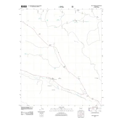
 2004 San Patricio2006 Print · USGSLincoln County’s river valleys and forest lands are captured in this mid-2000s survey of the mountain west. Researchers can trace the legacy of local ranching and settlement through sites like the Fritz Cemetery, Hondo Valley School, and the junction of Rio Bonito and Rio Ruidoso.
 - 2011 Map of San Patricio, 2011 Print
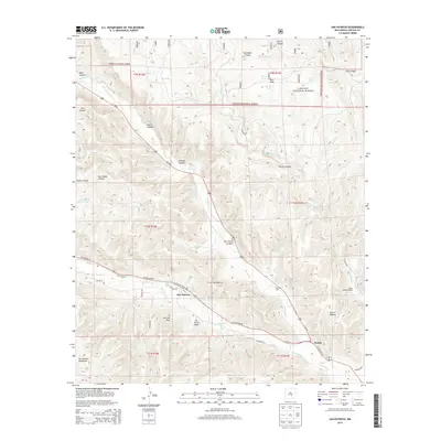
 2011 San Patricio2011 Print · USGSCovers Hondo, including San Patricio, Lincoln County, and other nearby areas
 - 2013 Map of San Patricio, 2013 Print
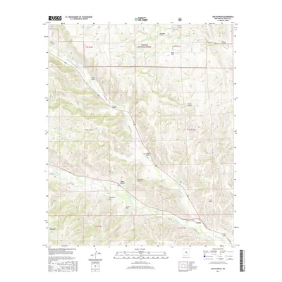
 2013 San Patricio2013 Print · USGSCovers Hondo, including San Patricio, Lincoln County, and other nearby areas
 - 2017 Map of San Patricio, 2017 Print
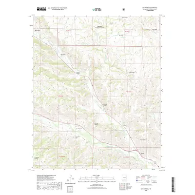
 2017 San Patricio2017 Print · USGSCovers Hondo, including San Patricio, Lincoln County, and other nearby areas
 - 2020 Map of San Patricio, 2020 Print
 2020 San Patricio2020 Print · USGSCovers Hondo, including San Patricio, Lincoln County, and other nearby areas
 - 2023 Map of San Patricio, 2023 Print
 2023 San Patricio2023 Print · USGSLincoln County’s river valleys are captured in the early twenty-first century, showing the meeting of the Rio Bonito and Rio Ruidoso. Genealogists can trace family landmarks like Fritz Cem, Hondo Cem, and the Saint Jude Catholic Mission Cem along the water.
End of results
Showing maps 1-12 of 12
Frequently asked questions
- What are the different types of historical maps available for Hondo?
- What is the oldest map of Hondo?
- Where can I purchase historical maps of Hondo for my home or office?
- Where can I download high-res historical maps of Hondo?
- Are there historical topographic maps available for Hondo?
- Is there historical aerial imagery available for Hondo?
- Where are historical maps of Hondo sourced from?